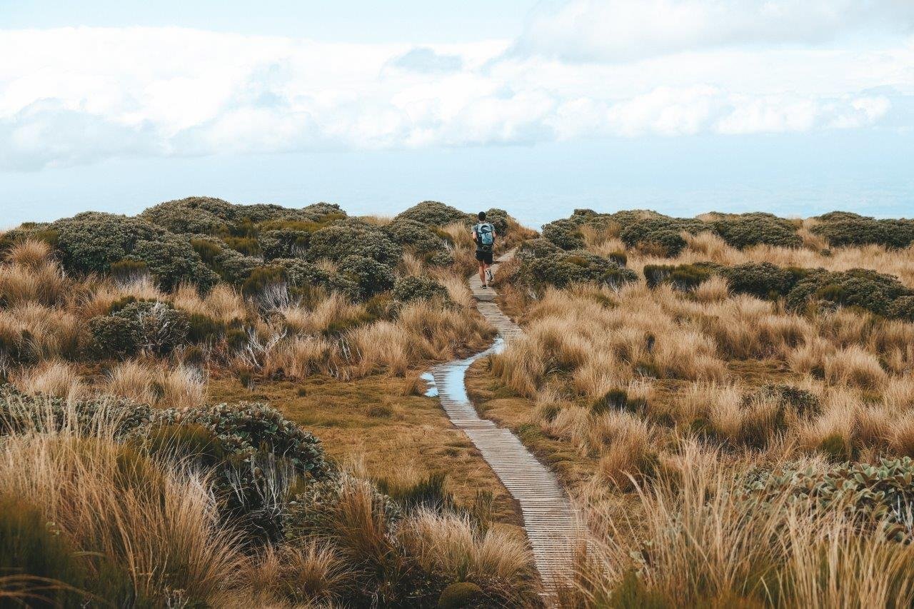
New Zealand is an outdoor paradise. It's home to some of the world's most beautiful national parks, stunning coastline, breathtaking views and world-renowned hiking trails. During my time on the North Island, I hiked over a hundred kilometres of beautiful tracks.
Here are my recommendations for eighteen hikes to do on the North Island:
Putangirua Pinnacles
Wairarapa
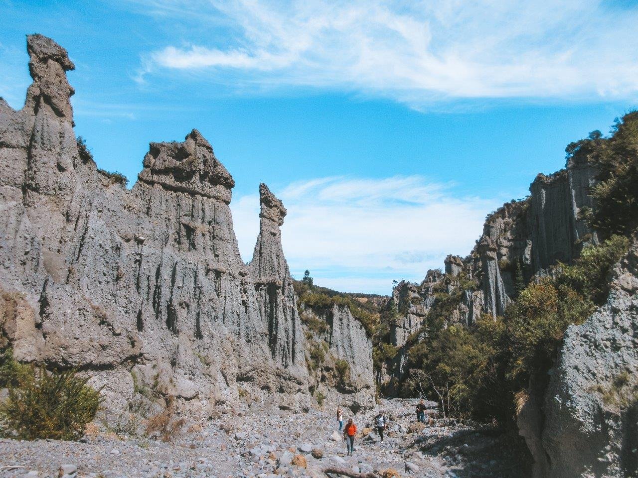
The awe-inspiring Putangirua Pinnacles and the equally majestic Cape Palliser Lighthouse are the two main attractions in Aorangi Forest Park, a beautiful coastal region in Wairarapa, a nature-filled area northeast of Wellington. The pinnacles are home to the valley of Harrowdale from Lord of the Rings. They filmed the Paths of the Dead here!
DETAILS: This is an easy trail that requires some stream crossing and walking on loose rocks so I recommend good shoes. The pinnacles trail is 1.5 km each way which should take about 45 minutes. There's an option to walk along the streambed and look up at the pinnacles (and feel tiny) or to walk along the ridge and look down.
Red Rocks Reserve
Wellington
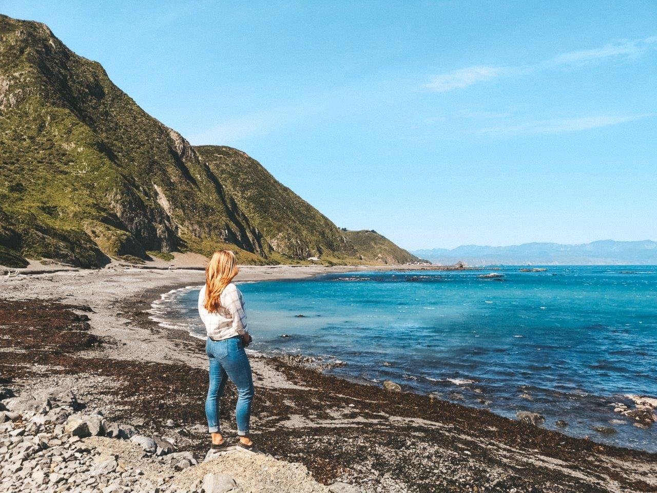
On the coast south of Wellington facing the South Island, you'll find an incredible reserve home to an abundant seal colony and gorgeous red rocks plus plenty of beautiful scenery. Spend a sunny day here wandering the coastline - but watch out for the Wellington wind!
DETAILS: This is an easy coastal path that starts from Te Kopahou Visitor Centre in Owhiro Bay that takes about 45 minutes each way for the 5km roundtrip. You can access the walkway by bus, car or Uber just 30 minutes outside of Wellington.
Mount Victoria
Wellington
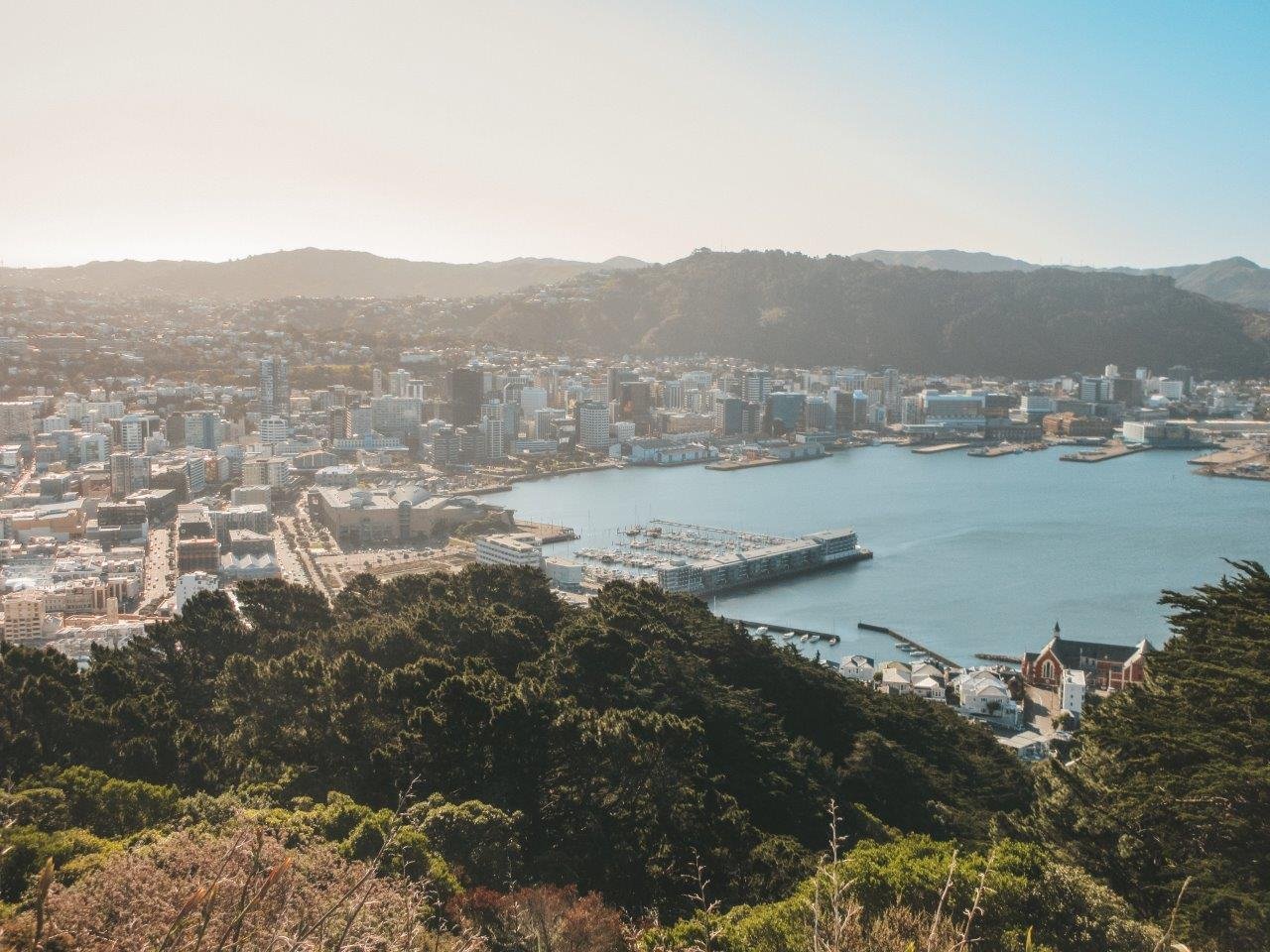
One of the most popular things to do in Wellington, New Zealand's windy capital, located on the southernmost tip of the North Island, is to hike up to the summit of Mount Victoria.
DETAILS: Mount Victoria sits just outside the business district and can easily be reached on foot from town; just walk all the way to the end of Courtney Place! Follow the purple signs up the trail for about 30-40 minutes. I highly recommend following Google Maps to also locate the filming location of the Hobbit's Hideaway where the hobbits hid from the Ringwraiths in Lord of the Rings!
Mount Kaukau
Wellington
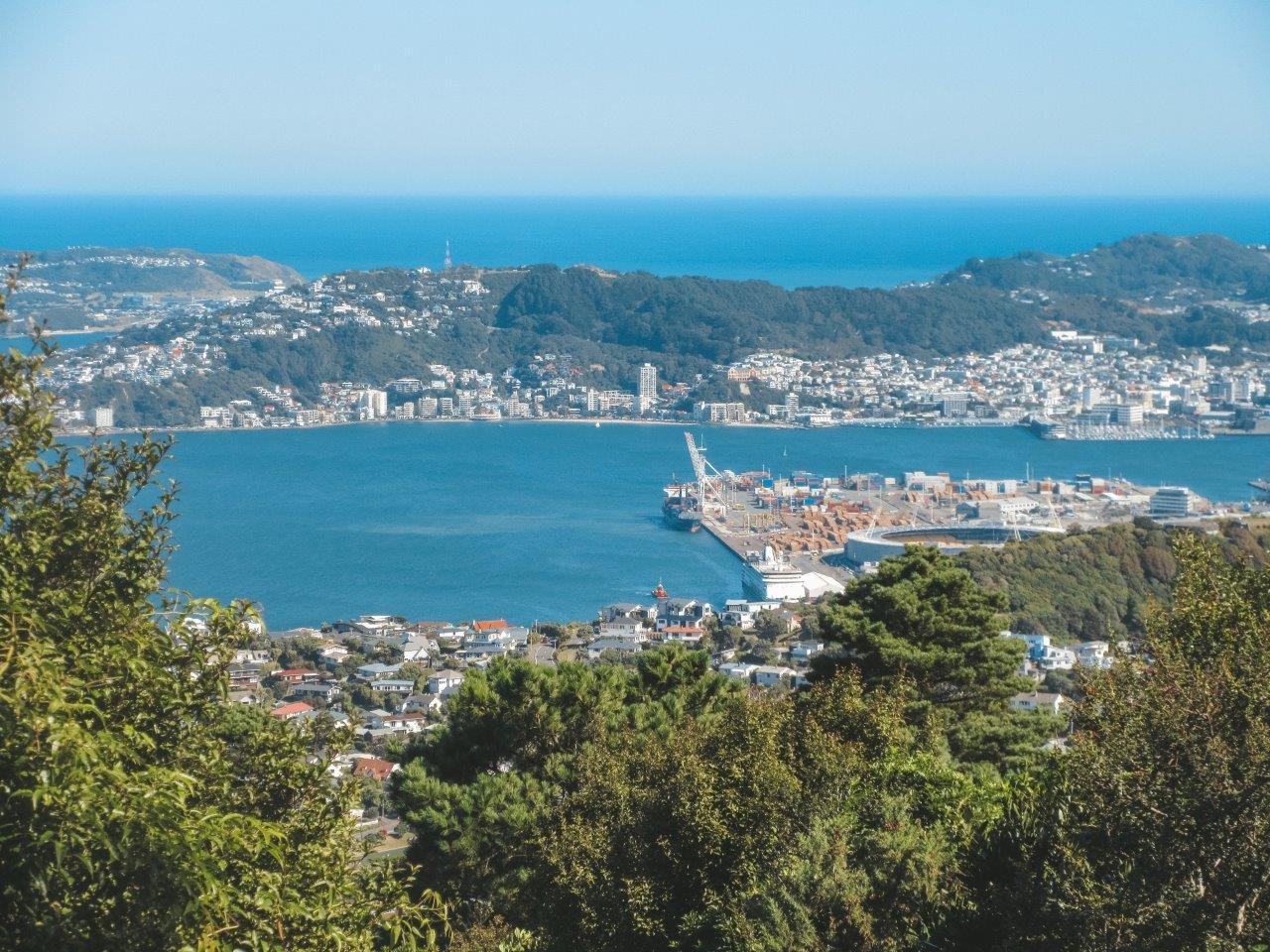
Mount Victoria is the classic fan favourite for a local Wellington hike, but if it's glorious 360 views across the Skyline, the South Island, the Eastern Harbour and Wellington that you're after, then Mount Kaukau is the one to do.
DETAILS: Mount Kaukau is not a difficult hike, although there are some steeper sections. Much of the Northern Walkway, one of the ways to access the summit, is made of stairs and dirt paths. It's perfect for working up a nice sweat with an incredibly rewarding view at the top! It's just a 1/2 hour each way.
Rocky Lookout
Tararua Forest Park
Tararua Forest Park is full of trails of all levels of difficulty and intensity, perfect for exploring and tramping. A lush forest greets you before fanning out onto the various tracks - short ones to view points and multi-day hut treks.
DETAILS: The Rocky Lookout is on the Gentle Annie Track, a nice sloping wander up to view the beautiful Mount Holdsworth and Atiwhakatu valley. It took us about 3/4 hour each way. There's a popular camp site at the foot of the trail, too, so this is a great weekend getaway spot!
Pouakai Tarns
Egmont National Park
Egmont National Park is tucked away on the west coast of the North Island on a peninsula sticking out in the region of Taranaki. The crowning glory of this region is Mount Taranaki, an active stratovolcano home to plenty of hikes, waterfalls, scenic lookouts and natural gems.
Pouakai Tarns is one of the most well-known hikes of the Mount Taranaki region in Egmont National Park. If you do a quick Google search, you'll see incredible photos of Mount Taranaki reflected in the tarns at all hours of the day - from gorgeous sunrises to snowy days - and it makes you want to definitely not miss this spot!
DETAILS: This hike is boardwalked most of the way up from the parking lot, past the Pouakai Hut and on to the Pouakai Tarns which takes 4 hours for the 10km roundtrip. We felt the tarn at the top to be underwhelming as it was much tinier than photos make it out to be, but on a clear day there'd be a wonderful reflection of Mount Taranaki.
Kiriwhakapapa Loop
Tararua Forest Park
The Tararua Forest Park is more than 1000 square km of beautiful mountains and forests reaching from Upper Hutt all the way up to Palmerston North. Entrance is available from multiple places. At the end of the Kiriwhakapapa Road, a gravel road winding through farms and stunning scenery, you'll find the easy Kiriwhakapapa Loop home to majestic redwoods glowing in the sun.
DETAILS: The loop trail is about 1km and is mostly flat and easy to enjoy, with a slight elevation in one section. Enjoying the scenery, this loop took us just over half an hour. Our favourite part was the beginning just after the bridge where the redwoods are at their most poignant. The trail connects with the longer Blue Range track.
Tongariro Alpine Crossing
Tongariro National Park
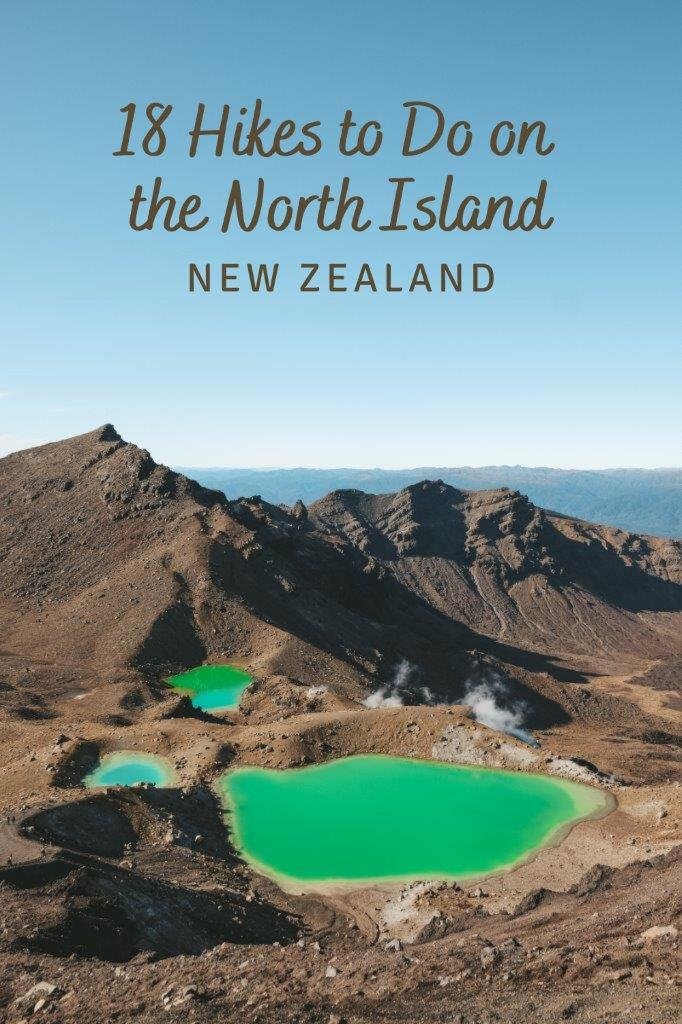
The Tongariro Alpine Crossing is in the heart of Tongariro National Park. The walk crosses incredible alpine meadows, traverses a few craters of varying colours, slides down a steep volcano, bursts into steam at varying points, meanders around sulpher-smelling-emerald-coloured lakes and all in all, makes for an absolutely unreal day.
The Tongariro Alpine Crossing is perhaps most well-known for being the filming location of Mount Doom from the Lord of the Rings trilogy. As you make your way through the epic, sweeping landscape, you can see exactly why Mount Ngauruhoe (one of the mountains you walk past on the crossing) was chosen! You'll also get incredible views of nearby Mount Ruapehu.
DETAILS: The one-way crossing is 19.4km and should only be attempted in good weather! It was not as difficult as I expected it to be although there are two fear-inducing sections on the way up and down the Red Crater. We took 7 hours to hike this track. You park your car at the end and take a shuttle to the beginning so that you can hike back to your car, so make sure you plan this in advance!
Taranaki Falls
Tongariro National Park
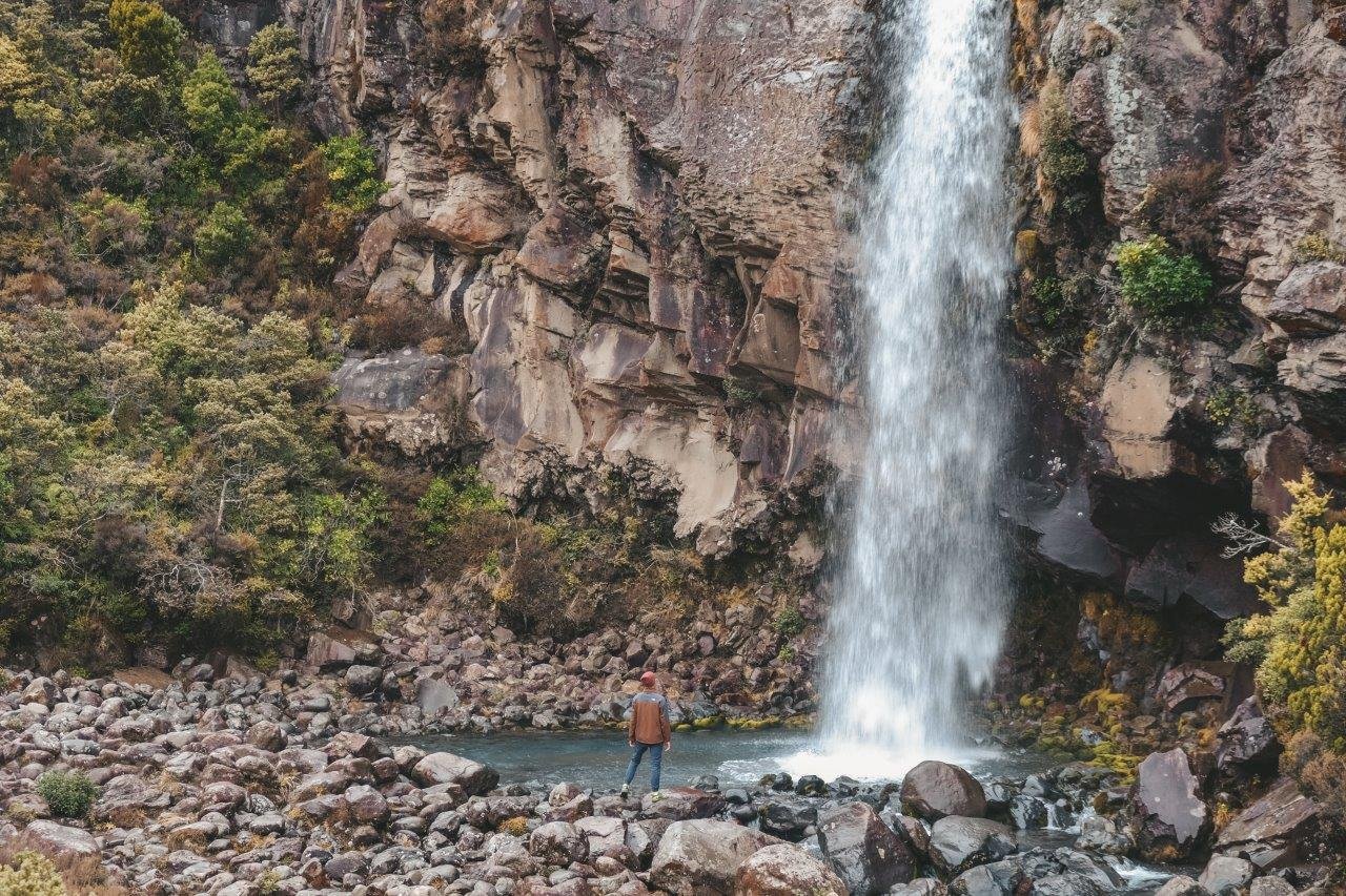
A beautiful day trek on a portion of the Tongariro Northern Circuit is the loop that brings hikers from the Whakapapa Village to Taranaki Falls, a gorgeous waterfall that seems to burst out of the cliff face.
DETAILS: If you don't feel up to the three day trek on the Northern Circuit, head out for the day on the Taranaki Falls Track, an easy 6.2km loop that meanders through alpine meadows. Half-way through the loop, Taranaki Falls bursts through the cliff face. I recommend hiking this loop from the Lower Track to the Upper Track; there's a bit less climbing this way!
Cooks Cove Walkway
Tolaga Bay
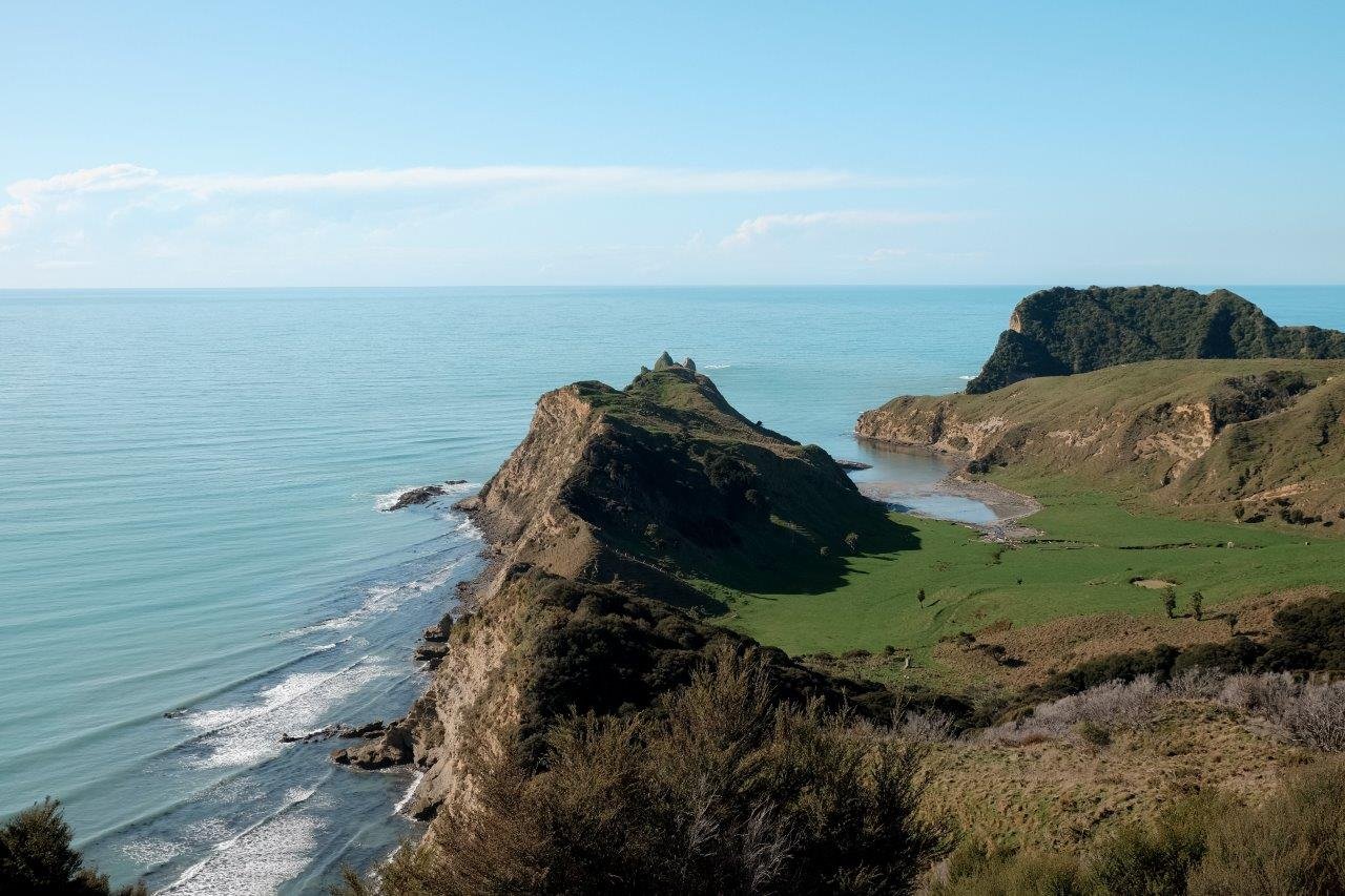
Cooks Cove is where, in 1769, Captain James Cook and the crew of HMS Endeavour landed as part of their circumnavigation of New Zealand. It's an epic place and I can only imagine how their jaws must have dropped when they landed on this part of the country! Cooks Cove is nestled between Mitre Rocks on the left, which can be viewed from the other side on the Tolaga Bay Wharf, and Pourewa Island on the right.
DETAILS: We were pleasantly surprised by this hike on the Gisborne Peninsula. The trail starts by climbing up through private farmland and you're very likely to encounter a number of sheep (and plenty of poo!) along the way. After crossing the fence, the path turns much more maintained as it heads towards the view point overlooking Cooks Cove and then down 335 steps to the cove itself. Give yourself 2-3 hours to do the 5.8km return trek.
The Redwoods in Whakarewarewa Forest
Rotorua
This was one of our favourite spots during our visit to Rotorua. The massive trees growing straight up towards the sky made us feel tiny.
DETAILS: There's four different tracks through the forest of varying lengths and difficulties, that provide spectacular views of the incredible trees and other growth. There's even a tree-top walk where you can walk high above in the trees, both in the day light and at night, all lit up with twinkle lights.
Mount Maunganui
Tauranga
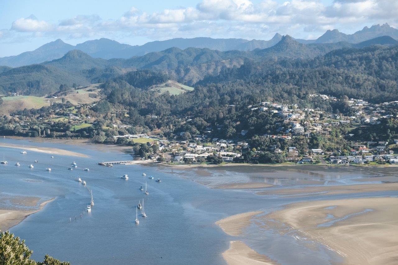
We had heard only good things from other travelers about trekking up to the summit of Mount Maunganui. We can see why! Best attempted on a sunny day, this is one not-to-miss hike in New Zealand!
DETAILS: Not a lot of effort is required for this 30-40 minute trek up the summit via one of two different options for tracks but the views themselves are quite stunning. You'll be able to see the entirety of the suburb of Mount Maunganui, the coastal region of Tauranga and far out into the ocean and some of the islands dotting the coast.
Karangahake Gorge
The Coromandel
Karangahake Gorge is an abandoned gold mine, which was as endearing as it sounds. The area is chokka full of old tunnels, walkways, ruined rail lines and abandoned buildings that the Department of Conservation now manages and has made available for exploring.
DETAILS: We walked for about an hour in the drizzling rain through the Windows Walkway, one of the best walks in the region. The track meanders through various tunnels and across tracks providing some incredible views over the Waitewheta River through 'windows' where the blasts from the tunnels were created, years ago. A torch is a must for this track, otherwise you'll be plunged into darkness as you tiptoe down the tunnels.
Paku Hill
The Coromandel
At the edge of the sleepy and gorgeous little coastal town of Tairua, Paku Hill, a 7 million-year-old extinct volcano, sits jutting out into the ocean.
DETAILS: After wandering the town and beach, drive most of the way up to Paku Hill and then climb steadily up to the summit for the last twenty minutes to take in 360 degree views of the entire coastline. The last tiny bit of the walk is steep rocks so be prepared for that, but otherwise it's an easy hike with a stunning reward.
Cathedral Cove
The Coromandel
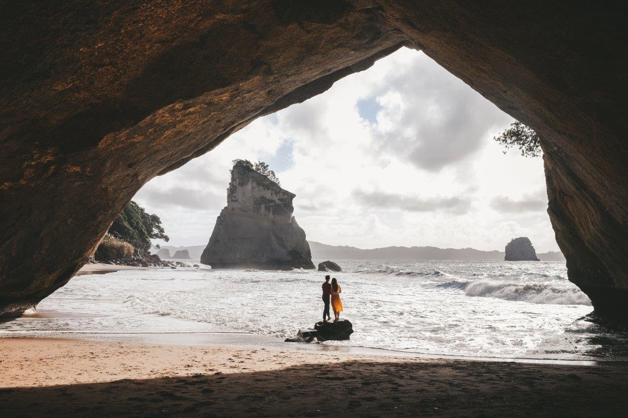
Cathedral Cove is perhaps the most famous place in The Coromandel and for good reason - it's the filming location of Cair Paravel in Narnia. When you get there, you'll be rewarded with stunning rock faces, pure white sand, lapping water in a sheltered cove and plenty of spots to get a bit of sun and take some beautiful photographs.
DETAILS: An easy 1/2 hour walk each way brings you to this well-known beach. The views along the way are delightful. Note that you can only use the parking lot in the winter; in the summer it's drop-off only.
Tutukaka Lighthouse
Whangārei
The Tutukaka Lighthouse Walkway is an easy walk with beautiful coastal views of Northland, north of Auckland. We enjoyed this little walk, especially since we had just camped in our van in one of the bays that you can see from the lighthouse at the top of Kukutauwhao Island.
DETAILS: An easy 1/2 hour walk each way brings you to this beautiful view point. The lighthouse itself is not impressive; it's a modern one that is not photogenic in the slightest. It's okay though - the views are worth it!
Kitekite Falls
Piha
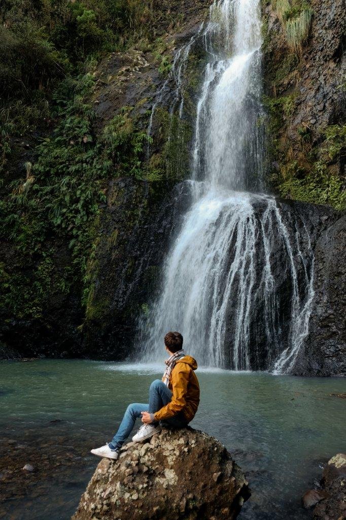
Piha is a beautiful beach community to the west of Auckland, New Zealand's biggest city. Piha is best known for its beautiful black sand beaches. Nearby, a lovely half hour walk up Kitekite Falls provides for lush surroundings and incredible views.
DETAILS: An easy 1/2 hour walk each way brings you to this incredible waterfall. There are even swimming holes at the bottom and top!
Mount Eden
Auckland
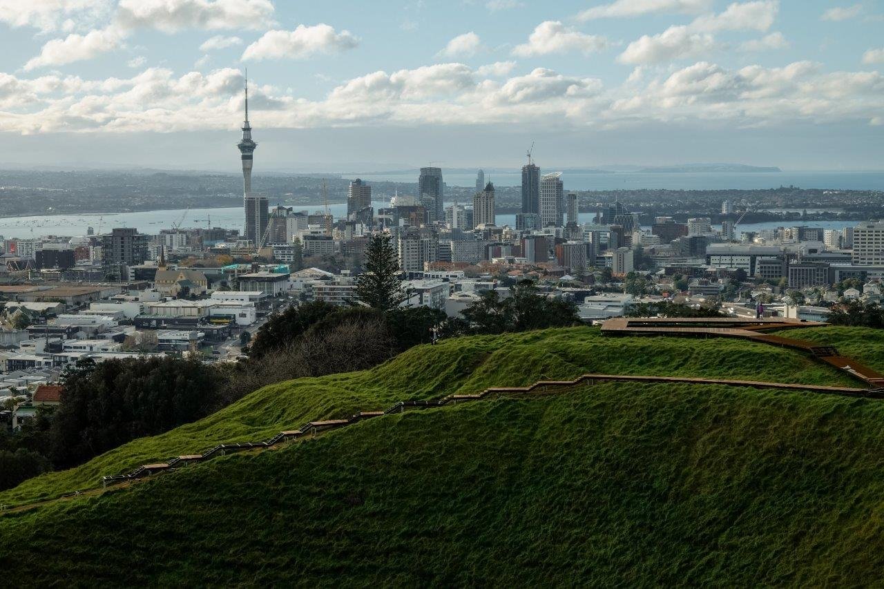
In the heart of Auckland, a short little hike provides impressive views of the city. Mount Eden is an ancient volcano that last erupted 15,000 years ago. A crater was left at a whopping fifty metres deep; you'll walk the perimeter of the crater on the hike but cannot enter it as it is delicate landscape.
DETAILS: While the hike itself is very easy and very accessible, we enjoyed it for the great skyline of Auckland - the Sky Tower, the tallest building in the Southern Hemisphere, is very visible!
Pin this post to refer back to later!
Hi! I’m Jana, a Dutch-German-British-Canadian with a dream of seeing every country in the world. I am a storyteller, photographer and adventurer passionate about documenting and sharing my travels.
