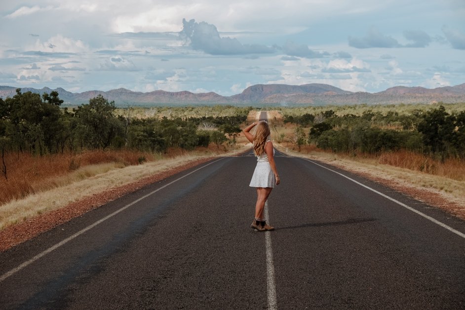
Kununurra is the northernmost town in the Kimberley region of Western Australia, about 45km from the border with the Northern Territory. Just over 11,000 people live here.
We're currently living full-time in our campervan, a 2018 Mercedes Sprinter, and exploring Australia, with a plan of "driving the lap" (completing the entire perimeter of the country). I first visited Australia in 2019, following the classic backpacker route, mostly visiting big cities, staying in hostels and traveling by public transport. This time, with the freedom of our campervan, we're trying to hit the lesser known spots and go slower.
We visited the Kununurra area after Broome and Port Hedland on our way along the northern coast of Australia.
For thousands of years, the Miriwoong people have lived on this land, long before any Europeans arrived. Kununurra is a Miriwoong word meaning meeting of big waters, given that the town sits on the confluence of the Ord and Dunham Rivers.
The Ord River Irrigation Scheme was launched in the early 20th century by European settlers to support large-scale agriculture which saw the construction of the Ord River Dam and Lake Argyle, the largest manmade lake in Western Australia. This saw the establishment of the town of Kununurra in 1961.
→ Read the full history of Kununurra as compiled by the WA Holiday Guide.
Purchase my Australia | Ultimate Map
Every single spot (and more) that I mention in all my blog posts about Australia can be found in my Australia | Ultimate Map!
This is a digital map featuring hundreds of my favourite restaurants, campgrounds, accommodations, shops, photo spots, museums, beaches, lakes, animal spots, bridges, viewpoints, hikes and SO much more in Australia, including its three external territories.
Each pin includes exact locations, images, detailed information, the ability to open and save the spot in your Google Maps and a link to my relevant blog post to read more.
COMING SOON → Buy the Australia | Ultimate Map!
Useful Information for Kununurra
Below is some useful information for preparing for your trip to Kununurra. In all cases, please be sure to check with the relevant local authorities for the latest and accurate information.
Language: The official language of Australia is English. In Kununurra, the traditional language of the Miriwoong people is Miriwoong.
→ Learn more about the language of the Miriwoong people.
Currency: The currency used in Australia is the Australian dollar, denoted as AUD $. I use a Wise account when I travel which allows me to have a single, free account with multiple currencies. I only have to pay once to convert my money in the app and then I can pay in AUD $!
→ Check the latest currency conversion between AUD $ and your local currency.
Data: Before you arrive, I recommend purchasing an eSim on your phone so that you can access data the moment you land. eSims are much more convenient as it means you don't have to put a separate physical Sim into your phone. AirAlo offers great deals for eSims of various data sizes and time lengths with Optus.
→ Load an international eSim on your phone with AirAlo.
If you are visiting Australia long term, you might wish to put a physical Sim in your phone as AirAlo is geared more towards short term visitors on holiday. This way you can access a local phone plan. There are three main mobile phone network providers in Australia: Telstra, Optus and Vodafone. Telstra has the best coverage across the country whereas Optus and Vodafone are good within cities. I recommend Telstra as it means you have the best coverage while you travel around the country, especially in rural areas.
We travel with a Starlink in our campervan which enables us to have unlimited WiFi wherever we are, even in places without coverage.
Visa: All passport holders except New Zealand require a visa to visit Australia. All arrivals must fill out an Australian arrival card before landing.
→ Check which visa you need for Australia.
Time of year to visit: Australia can be visited all year-round. Kununurra, as does the rest of the north of Australia, has a cyclone season between November and April so the best time to visit is May to September for clear, dry days.
Length of stay: We spent two days exploring the Kununurra area which was the perfect amount of time to explore the town, go hiking and visit the lake.
How to Get to Kununurra
By car: Most tourists visit the Kununurra region as part of a roadtrip around Australia. This gives you the freedom to explore at your own pace, stopping whenever and wherever you like. We drove up the west coast of Australia in our campervan from Perth through Karijini National Park and on to the northern coast of Western Australia past Port Hedland and Broome, before reaching Kununurra, shortly before the border with the Northern Territory.
You might want to start in Perth as your base for renting a campervan to explore Australia.
→ Rent a campervan in Perth with Apollo, Camplify, Indie or Juicy.
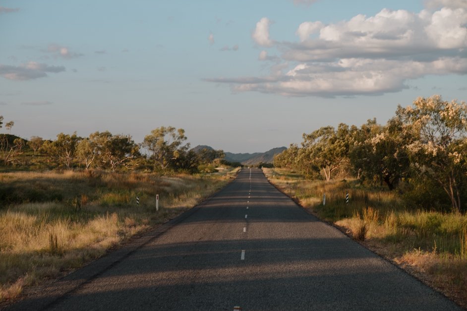
Driving on the Great Northern Highway near Warmun on the way to Kununurra
By flight: Kununurra is serviced by its own airport, the East Kimberley Regional Airport, with regular connections to Broome, Perth and Darwin. The airport is at the western edge of town, just a five-minute drive away!
→ Rent a car at East Kimberley Regional Airport.
By coach: Greyhound runs long distance coaches to Kununurra from either Broome or Darwin which is useful if you don't have a car. A coach journey from Broome takes 13 and a half hours or from Darwin is ten and a half hours.
By guided tour: There are many tour operators who run multi-day expeditions on the west and north coasts, starting in Perth, Broome or Darwin which travel through the Kununurra region.
How to Get Around Kununurra
On foot: The town of Kununurra itself is very walkable, with everything quite compact on the shores of Lake Kununurra.
By car: However, most of the things to do in the Kununurra region are not in town itself, so the best way of getting around is by car so you can get out of town and explore.
By guided tour: There are quite a few guided tours available from Kununurra including Aboriginal tours, boat hires on the lake, fishing trips, hiking tours, 4WD tours and scenic flights.
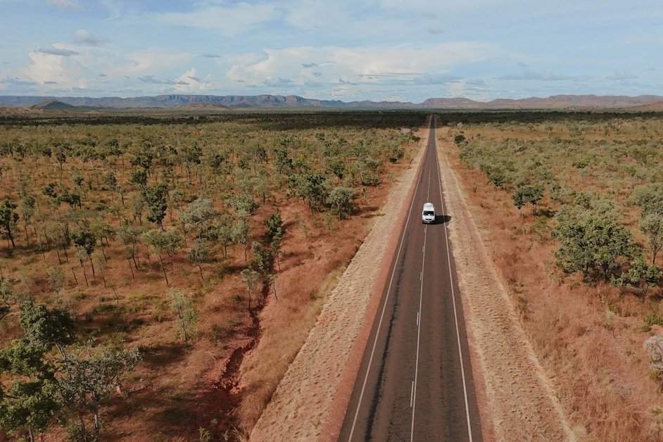
Driving to Lake Argyle from Kununurra
Where to Stay Near Kununurra
Hotel: Not traveling by campervan? Driving in a car? Whatever your reason for needing a place to stay, there are some great accommodation options around Kununurra.
→ Check out places to stay to suit your budget and accommodation type.
Camping: We are driving "the lap" around Australia, exploring the country in our campervan. As with the rest of Australia, Western Australia permits freedom camping on designated sites. These sites can vary greatly; some offer a variety of facilities such as toilets, trash bins, picnic tables, outdoor cooking stations and others have none of this and might simply be a pull-out on the side of the road.
The best way to find legal freedom camping spots is to use an app. We use Wikicamps Australia, a cheap app that has every single amenity listed (both free and paid) that you might need on the road. This includes things like where to fill up fresh water, where to dump grey water, where to empty toilets, where to stay, gas stations, information points and also has suggestions for things to do as you go.
→ Download the Wikicamps Australia app.
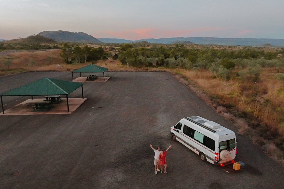
Just under two hours before arriving in Kununurra on our way from Broome, we camped at Desmond's Parking Bay, a peaceful place to stay on the side of Highway 1. There are covered picnic tables to use.
Best Things to Do Near Kununurra
As we're currently driving "the lap" of Australia, roadtripping the entire country, I've compiled a number of things from around the entire Kununurra region into this blog post. Only one of my suggestions is actually within the town, the rest are nearby in driving distance.
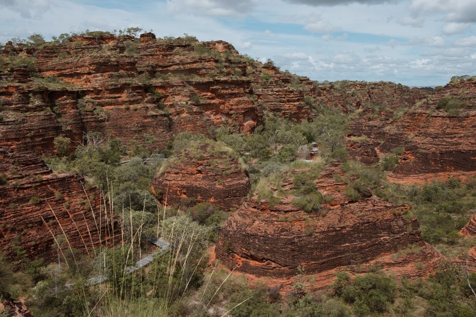
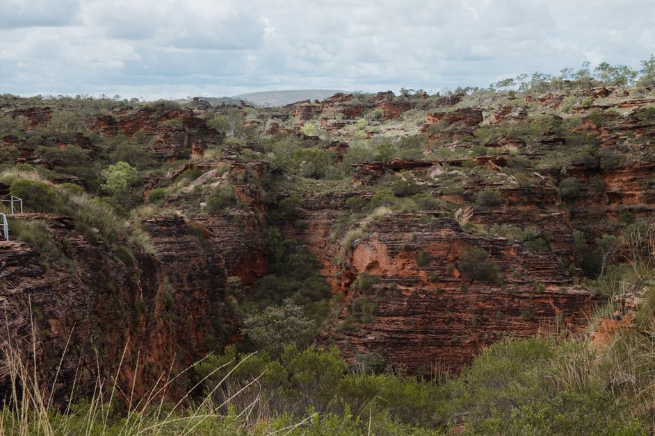
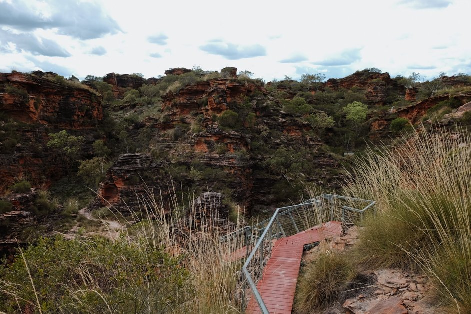
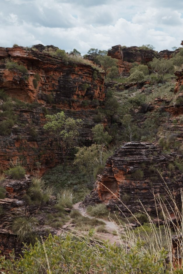
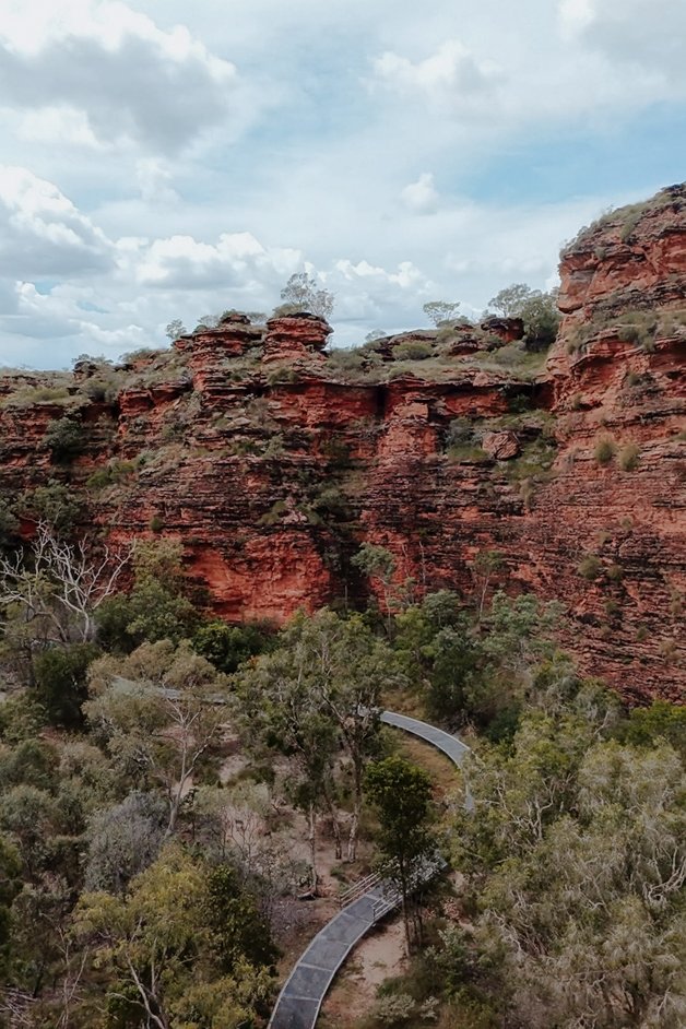
Go hiking in Mirima National Park
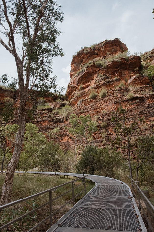
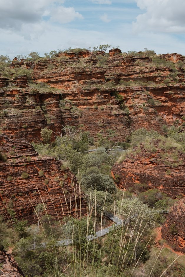
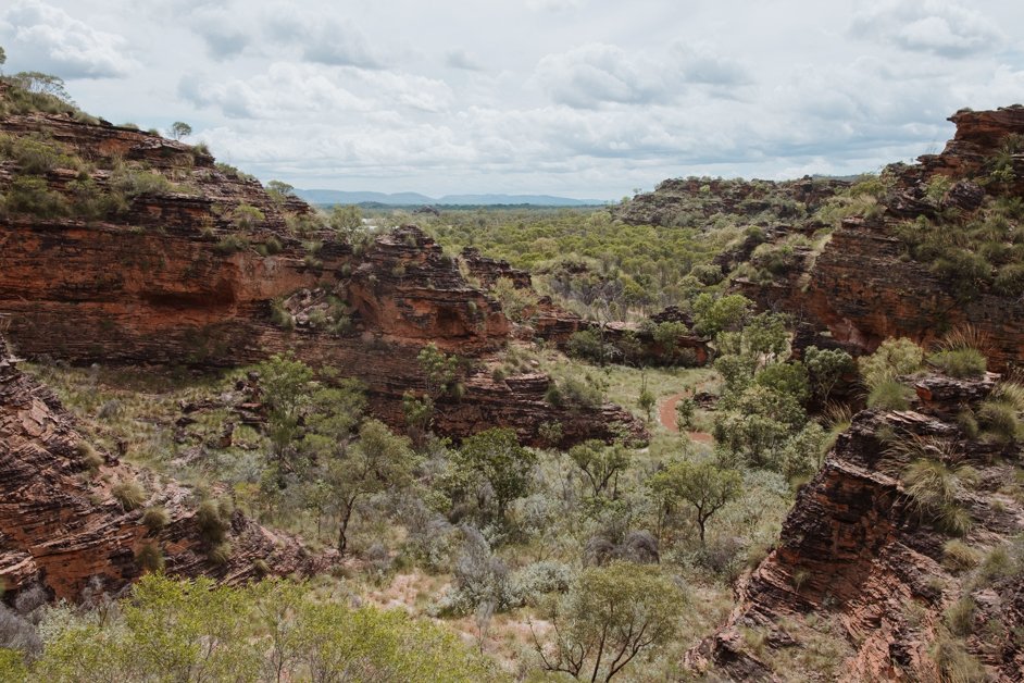
Mirima National Park is a small national park in Kununurra home to ancient rock formations often nicknamed the "mini bungle bungles". The actual bungle bungles are in Purnululu National Park, a proper multi-day adventure only accessible with 4WD. Mirima National Park is a great mini alternative!
→ Check the current entry fees into Mirima National Park.
There are a few different walking trails in Mirima National Park, the most popular of which is the hike to the Derdbe-Gerring Banan Lookout. It's a short trail, less than 1.5km round trip, and should only take about 20-30 minutes, but gives a great overview of the ancient sandstone rocks that make up the park.
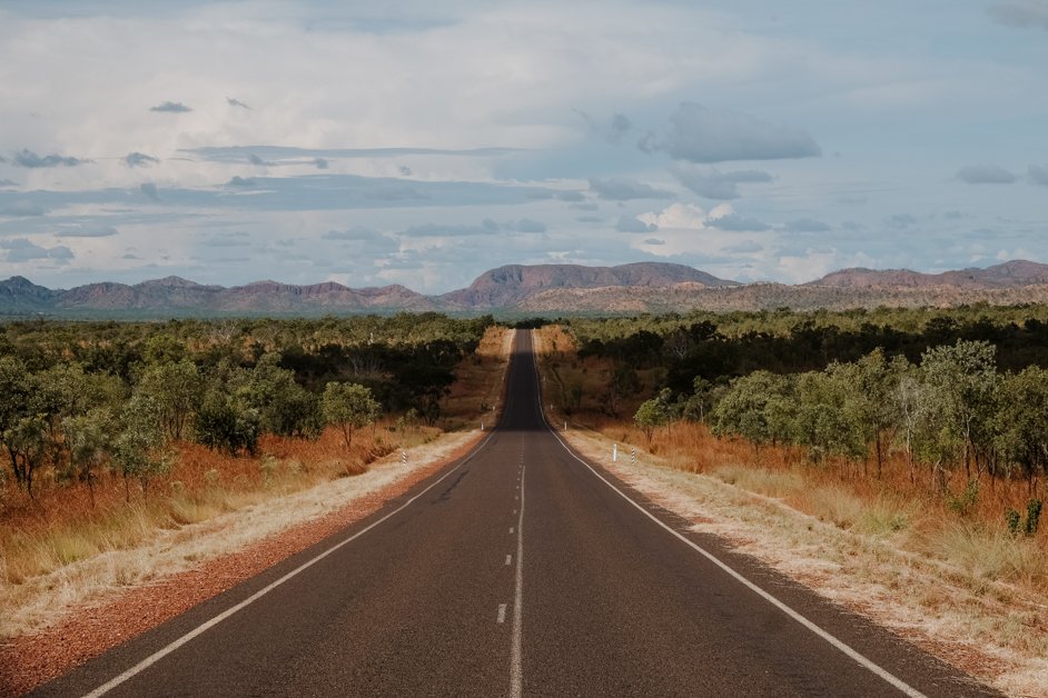
Drive on Lake Argyle Road
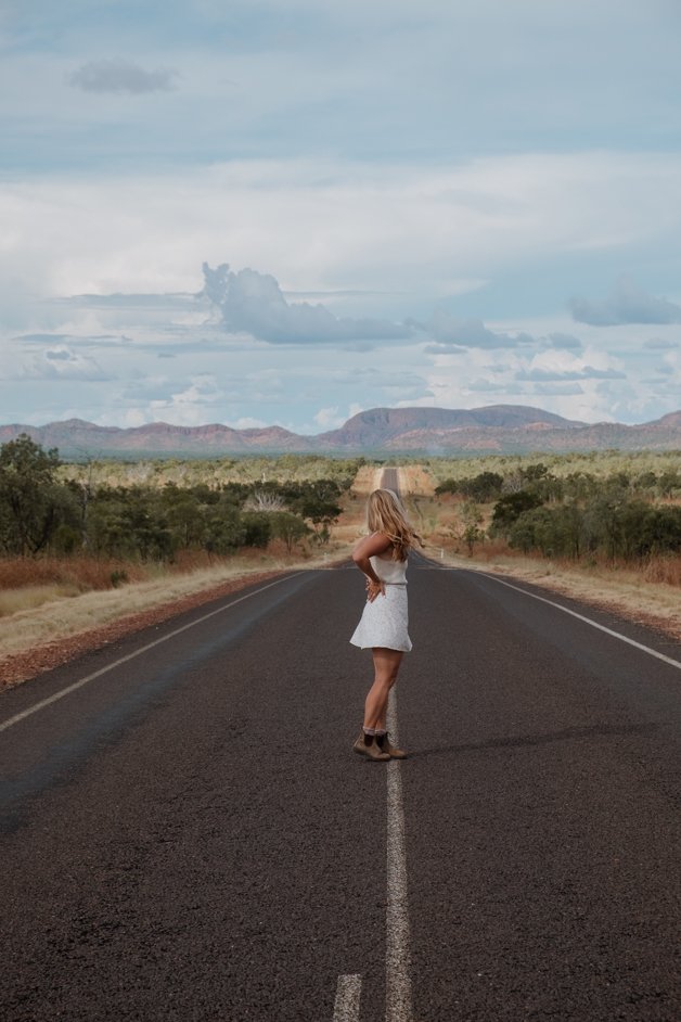
While the lake is of course the highlight, we also thoroughly enjoyed the drive out on Lake Argyle Road, too. This is the exact location where we took these incredible photos of the road with the mountains framing the road so perfectly.


Take in the views of Lake Argyle
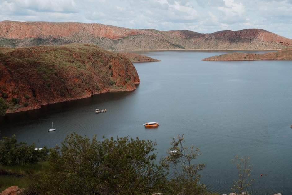
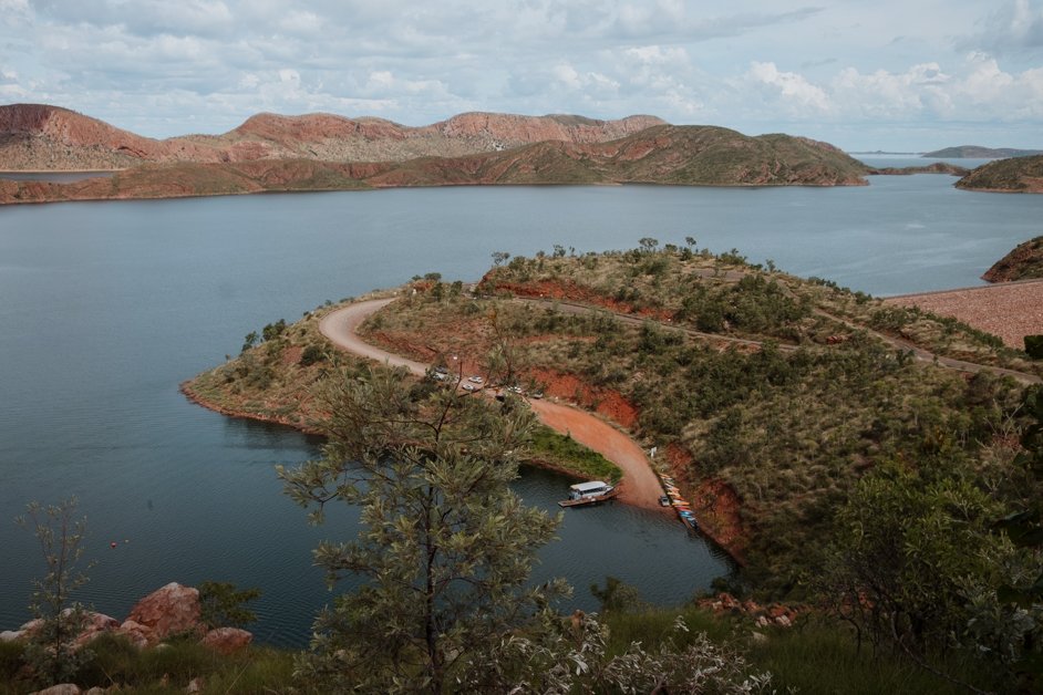
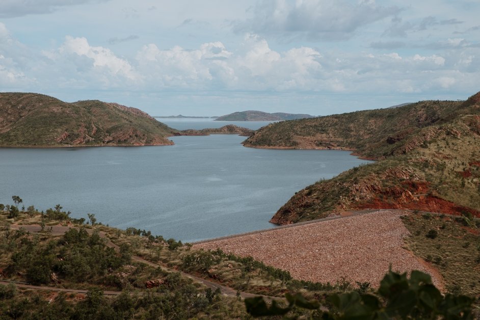
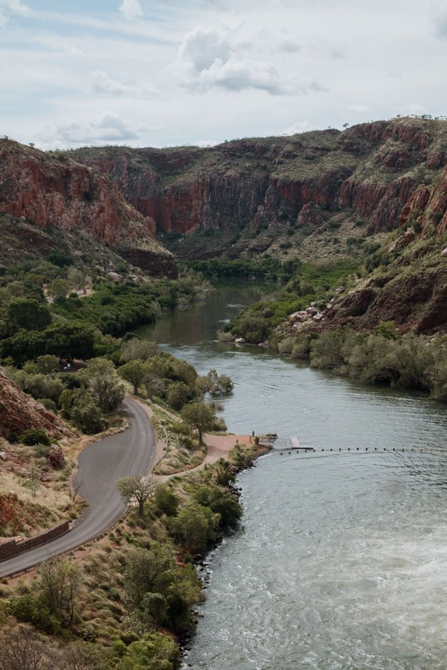
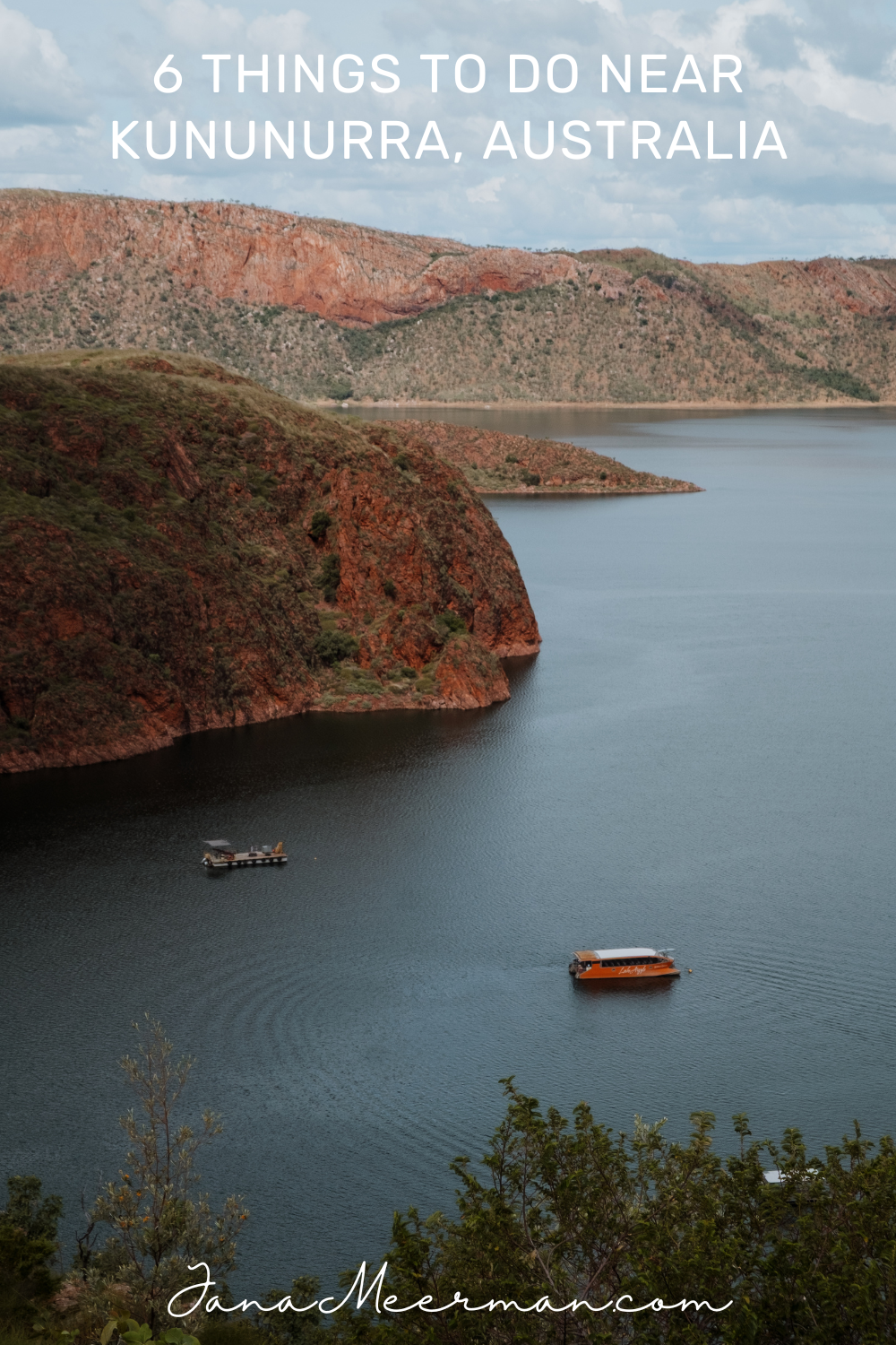
Lake Argyle is the largest freshwater reservoir in Western Australia and the second-largest manmade lake in all of Australia with a surface area of over 1,000 square kilometres! It provides water for the Kununurra region's irrigation system, an intricate feat of engineering built in 1972, the year after the completion of the Ord River Dam in 1971.
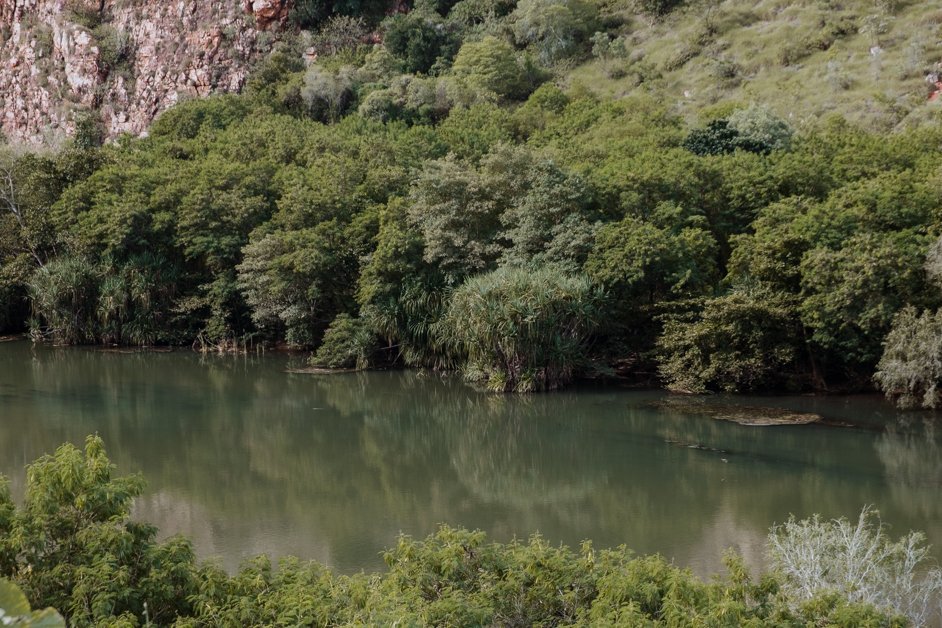
The lake is really massive, home to over 70 islands. You can take a boat tour on the lake to see it up close. There are now 26 species of native fish living in the lake alongside about 25,000 freshwater crocodiles!
One of the best views of the lake is from the Lake Argyle Lookout giving a panoramic view over much of the lake as far as the eye can see.
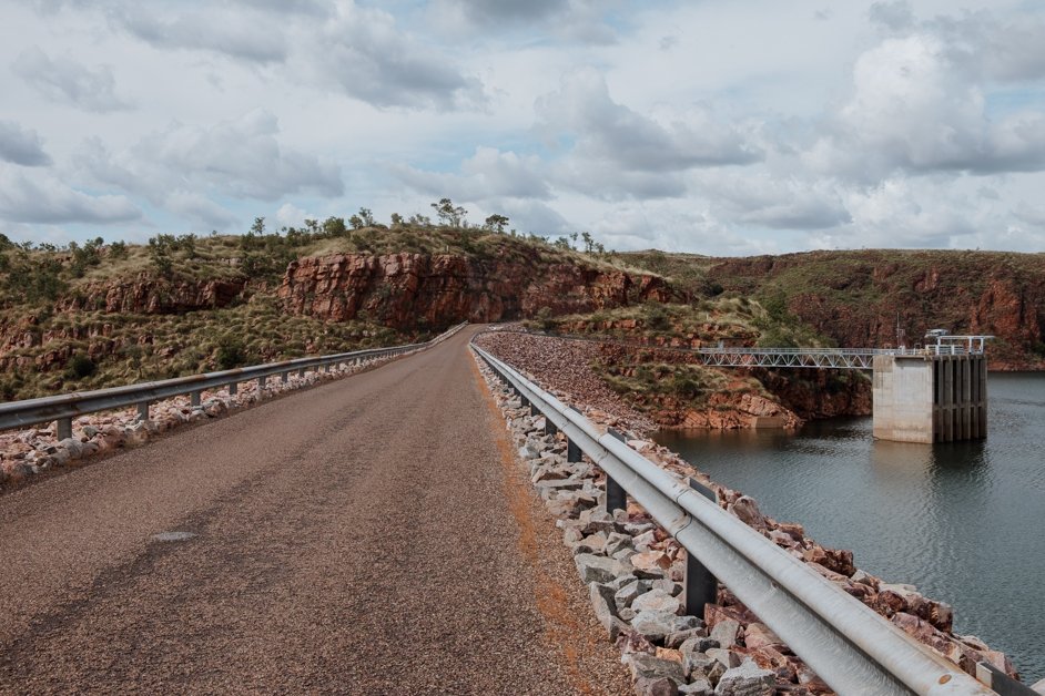
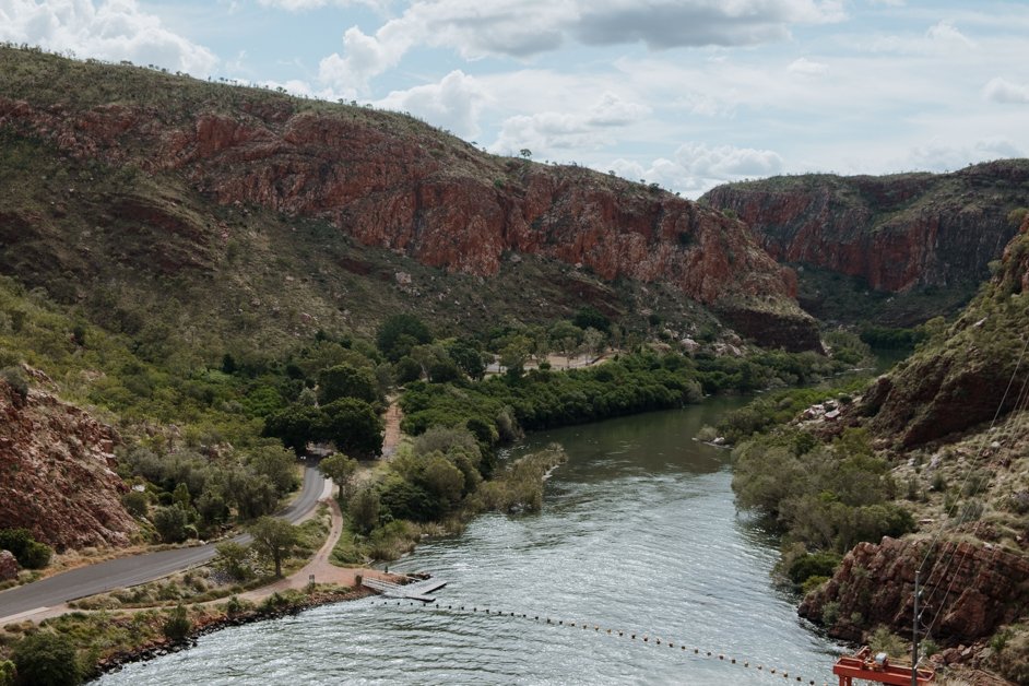
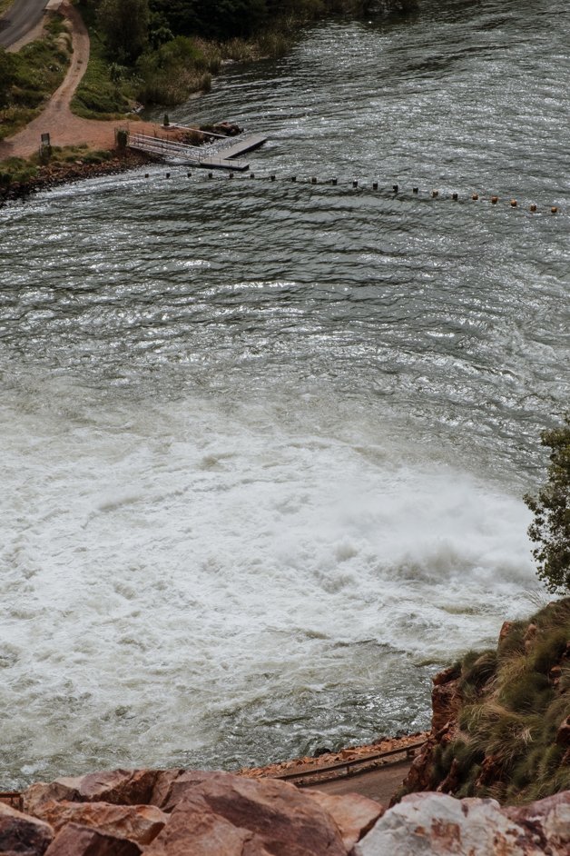
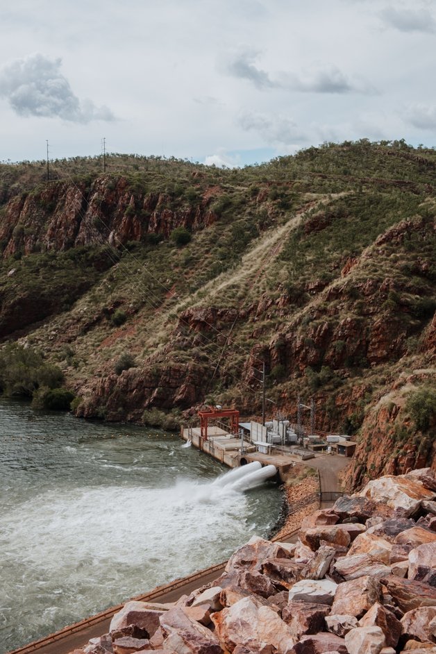
You can also drive right over the dam wall with an impressive view looking down at the Ord River Hydro Power Station, opened in 1997. It is the largest generator of hydroelectricity in Western Australia, generating enough to power approximately 40,000 households! From the Pacific Blue website, the operators of the Ord River Hydro Power Station:
In a remote area where energy security is vital, The Ord provides a locally generated, stable supply of electricity, reducing dependence on volatile international fuel markets and long-haul transport logistics.
Snap a photo at the border
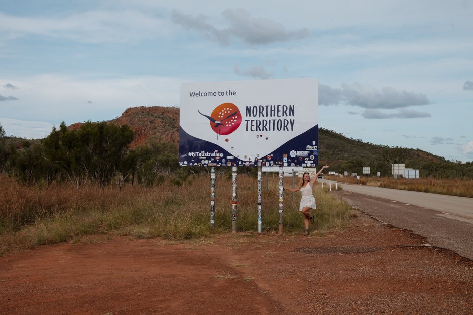
Pull over at the state border between Western Australia and the Northern Territory for a photo stop at the "Welcome to the Northern Territory" sign.
Find the boabs of Victoria Highway
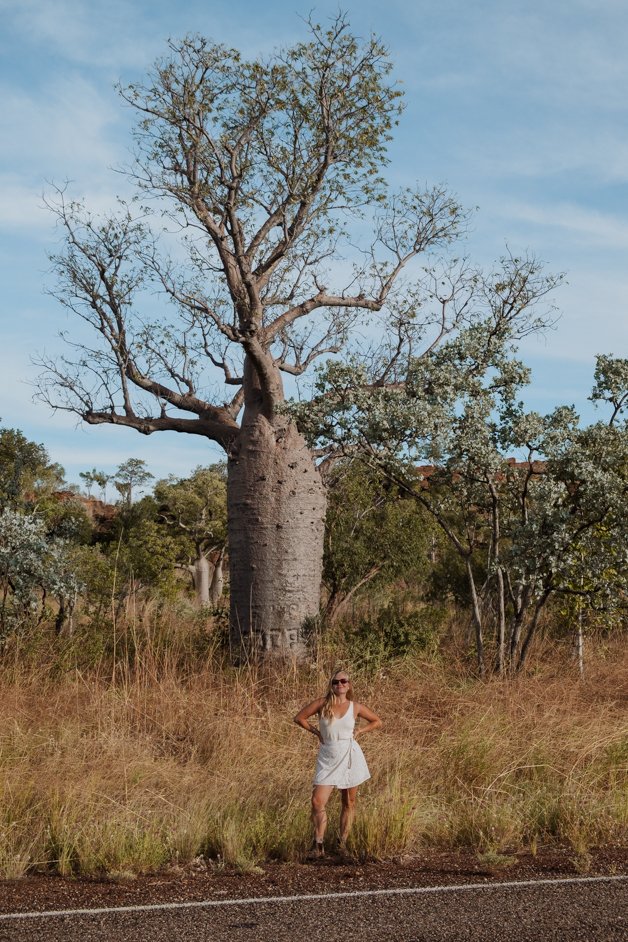
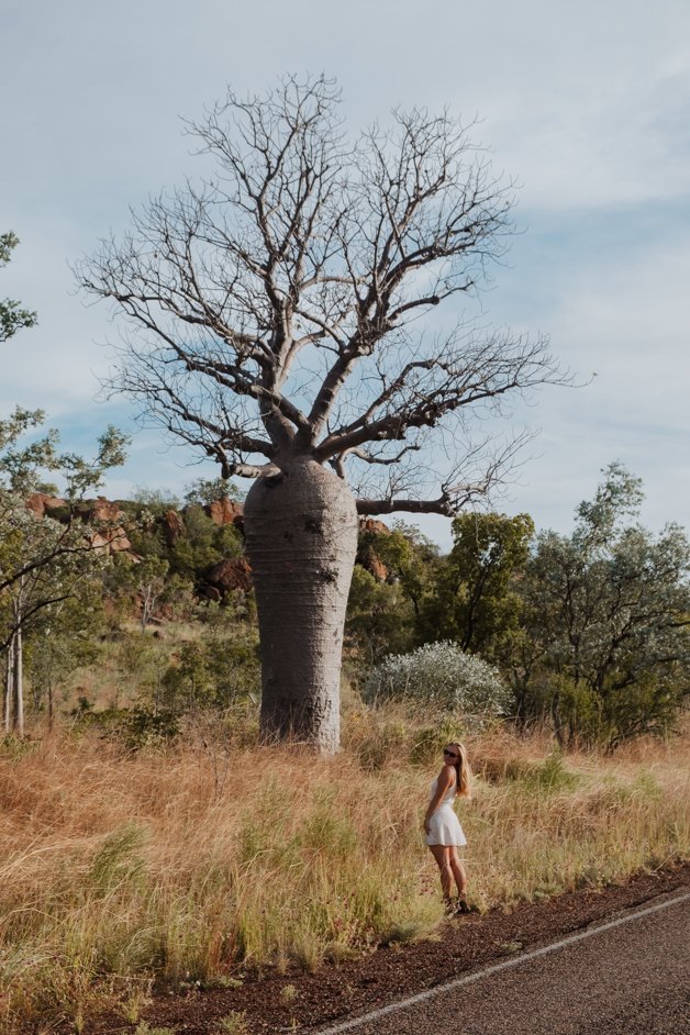
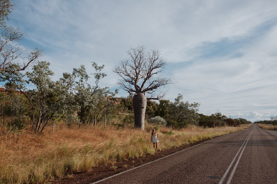
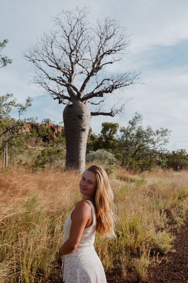
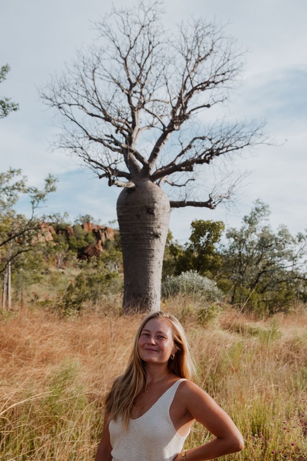
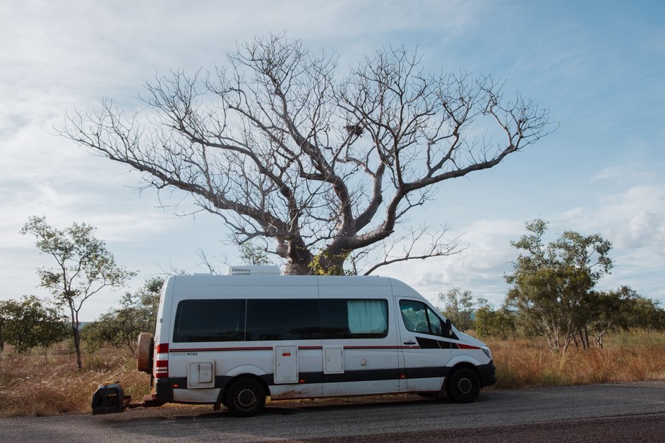
You'll spot native boab trees all along the Victoria Highway; this is the exact location where we pulled over to photograph these gorgeous trees just after we entered the Northern Territory, crossing the border from Western Australia.
Catch an outback sunset
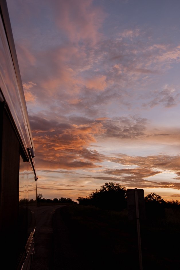
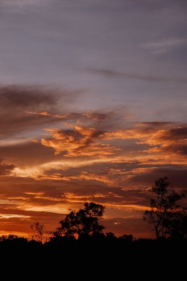
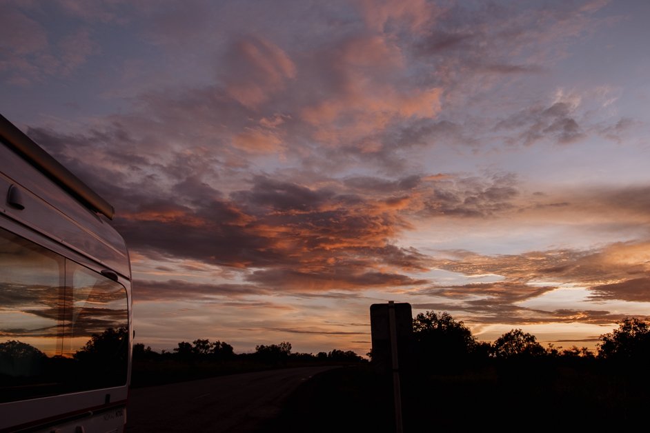
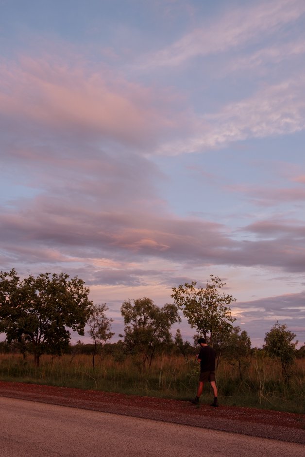
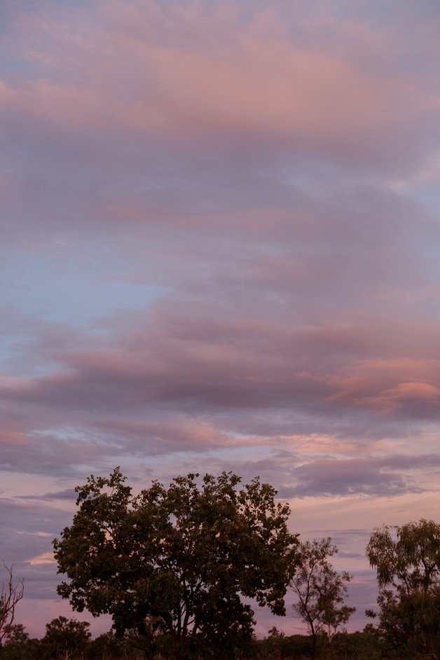
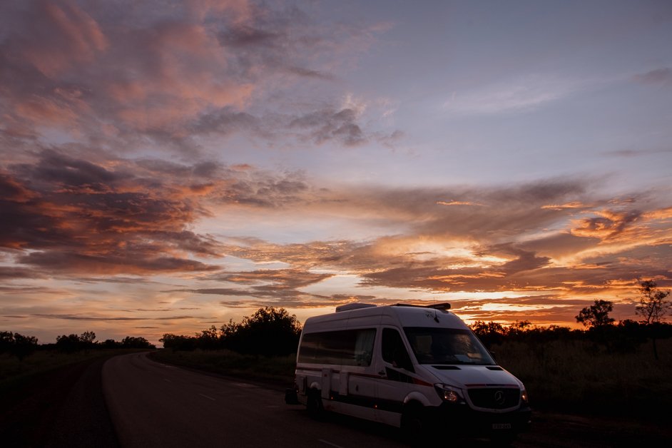
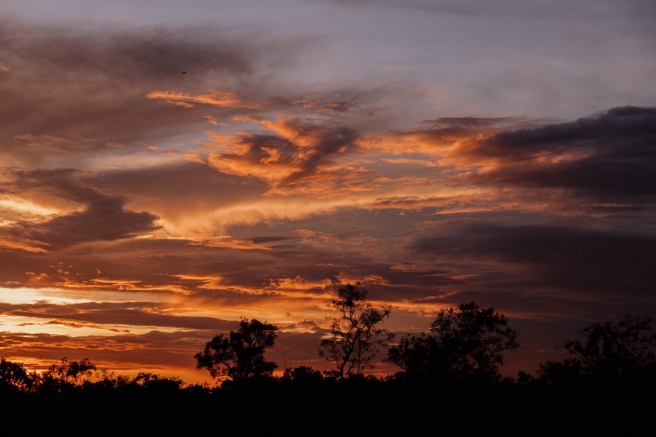
Of course, you can't plan sunsets, but the outback of Australia's Northern Territory has some incredible ones. As we drove the Victoria Highway between the Western Australia / Northern Territory border towards Mathison, we got to witness this vibrant sunset. We pulled over here but if you time it right, anywhere along the Victoria Highway is likely to have a gorgeous sunset view!
BOOK AN EXPERIENCE IN KUNUNURRA!
PIN THIS POST TO REFER BACK TO LATER!
GET READY TO TRAVEL!
— Book tours and experiences - with GetYourGuide
— Get all the gear you need for your trip - with Amazon (North America)
— Get all the gear you need for your trip - with Amazon (Europe)
— Find a place to stay - with Booking.com
— Choose a hostel to stay at - with Hostelworld
— Purchase global travel insurance - with World Nomads
— Load an international eSim on your phone - with AirAlo
— Start your own travel blog - with Hostinger
— Join the GetYourGuide Travel Creator Community - with GetYourGuide
Discover more from Jana Meerman
Subscribe to get the latest posts sent to your email.

Hi! I’m Jana, a Dutch-German-British-Canadian with a dream of seeing every country in the world. I am a storyteller, photographer and adventurer passionate about documenting and sharing my travels.