New Zealand is an outdoor paradise. It's home to some of the world's most beautiful national parks, stunning coastline, breathtaking views and world-renowned hiking trails. During my time on the South Island, I hiked over a hundred kilometres of beautiful track. Here are my recommendations for your trip down under:
Christchurch Gondola
Christchurch
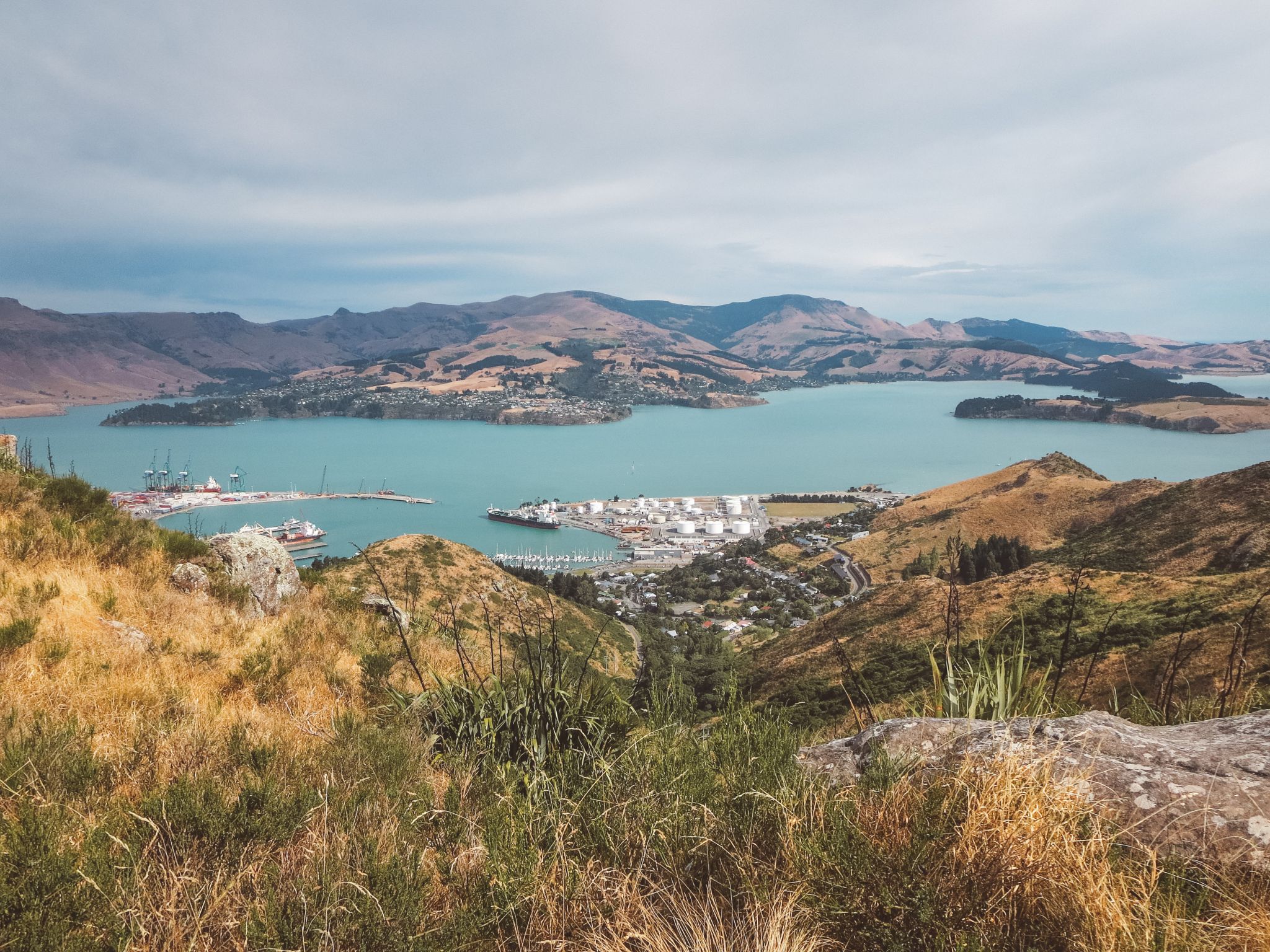
The beautiful Christchurch Gondola rises high above the city with far-reaching views of the seaside villages, harbours and coastline stretching out all around. You can take the gondola ride for $30/adult return but I highly recommend hiking all the way up to the top instead for free! The views are just the same and, in my opinion, are far more rewarding.
DETAILS: this is a difficult trail, not due to length but the fact that it is very steep and you must be cautious on the way up and down. The trail is 3km roundtrip and will take you approximately 25 minutes each way.
Peninsula Walkway
Kaikoura
While there are plenty of things to do out on the ocean with the wildlife in Kaikoura, the best thing to do in my opinion is tackle the Peninsula Walkway which will take you through fairy-tale fields over precarious cliff tops and surreal ocean views.
DETAILS: this hike is fairly easy with some steep sections. The hike is a one-way loop with the trail starting and ending in town. It's 11km and will take approximately 2 1/2 hours to complete all along the coast to Point Kean Viewpoint and on to South Bay Reserve.
Mount Fyffe
Kaikoura
The trail up to Mount Fyffe Summit is a beautiful and challenging track just outside the small seaside town of Kaikoura on the east coast of New Zealand. A long and steep route will provide you with panoramic views of the Kaikoura Ranges on one side and the peninsula of Kaikoura stretching out into the ocean on the other. It's one of those special places where the snow-capped mountains dive headfirst into the ocean.
DETAILS: this hike is classified difficult by the DOC due to the steep grade that just constantly climbs. The hike is 20km roundtrip, with 6-8 hours recommended. I completed this hike in 5 hours including a lunch stop at the hut. You can stay overnight at Mount Fyffe Hut, first-come, first-served (bring a tent in the summer in case it's busy). This hike is really only accessible from Spring - Autumn, but is so stunning at the start and end of Winter when snow glistens the mountain tops for breathtaking summit views.
Queen Charlotte Track
Picton
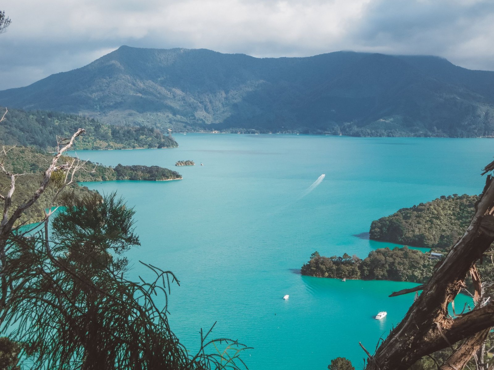
The Queen Charlotte Track is an epic 3-5 day hiking trail across the peninsula of Queen Charlotte Sound through stunning forest with incredible views of coves and the details of the harbour. The entire route winds 70km from Anikawa on the southern end to Ship Cove in the north. You can either take on the whole trek or just tackle one portion as a day-trip. The Queen Charlotte Track is part of Te Araroa or New Zealand's Trail which stretches 3000km from Cape Reinga to Bluff.
DETAILS: this hike is intermediate simply only because of the length; the actual hike itself is quite straightforward. The Queen Charlotte Track in its entirety is 70km and can be hiked as a multi-day trek. Water taxis service each trailhead allowing you to complete just sections of the track as a day hike.
Abel Tasman Coast Track
Abel Tasman National Park
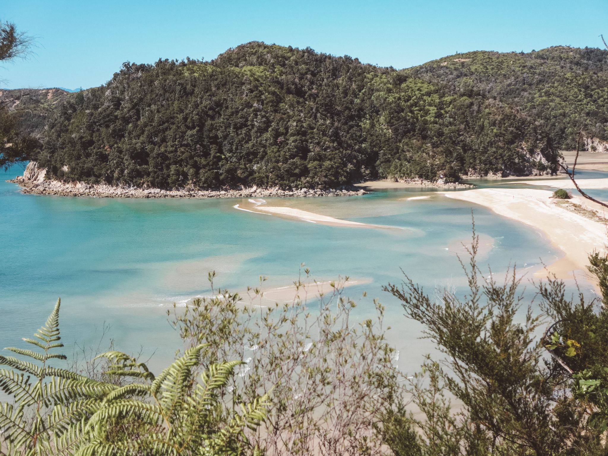
The Abel Tasman Coast Track stretches along the stunning coastline of Abel Tasman National Park. The hike starts on the outskirts of Marahau, the town at the southernmost tip of the national park and heads along the coast ending in Wainui. Along the way, you'll encounter wildlife, pristine beaches, incredible views and lovely huts and campsites to spend the night.
DETAILS: this hike is very straightforward, well-maintained and easily marked. Most of the trail just winds through the jungle so if it's stunning viewpoints your after you may be disappointed. The entire track is 60km long and can be hiked as a 3-5 day trek. Alternatively, you can pick just a section as a day-trip as Abel Tasman Aqua Taxis services each trailhead to and from Marahau.
Robert's Point
Franz Josef Glacier
Franz Josef is a tiny town on the west coast of New Zealand's South Island, home to the famous Franz Josef Glacier. Neighbouring Fox Glacier is just down the road. These glaciers are unique in that they are two of just three glaciers in the whole world to feed directly into a rainforest.
DETAILS: you will not be able to get on to the glacier without a guide as it can be treacherous; helicopter hiking is very popular here. The glacier is rapidly disappearing, with reports saying it will be completely gone by 2050. Robert's Point is a great hike that allows you to get as close as possible to seeing the glacier - and signs about where it used to be. It's a challenging hike that while is only 11km will take you approximately 5 hours round-trip as there are parts where you have to use your hands to pull yourself up a rock face.
Rob Roy Glacier Track
Mount Aspiring National Park
Rob Roy Glacier Track is the much quieter neighbour of the insta-famous Roy's Peak hike, both situated just outside of Wanaka. Rob Roy Glacier Track is maintained by the Department of Conservation as part of Mount Aspiring National Park. This hike is beautiful, winding through the Mount Aspiring valley alongside breathtaking glacial views, rolling mountain ranges, clear blue water and impressive waterfalls.
DETAILS: this is an intermediate hike and at 10km round-trip should take 3-4 hours. The incredible views start as you leave Wanaka and only get better - this is one of those hikes where the entire trail is beautiful. You cannot access the Upper Lookout during avalanche season (May-Nov) which is the most breathtaking spot of the trek.
Roy's Peak
Wanaka
Roy's Peak hike is a huge draw for Wanaka, thanks in part to that insta-famous shot you get from the lower lookout (you know which one I'm talking about). The view from Roy's Peak is incredible - think 360 degrees of mountain ranges, a bird's eye view of Wanaka and the stunning Rob Roy Glacier off in the distance. Yes, this hike is very busy. But regardless of what other visitors may say, it's so worth it.
DETAILS: this is an intermediate hike that is basically a steady climb all the way up without any time to breath and walk easy. The trail is 16km roundtrip and will take about 2 hours each way, with plenty of time at the top. I highly recommend going at sunrise, mostly to beat the crowds but also because this hike is much easier to do in the cool dark than in the blistering heat as there is absolutely zero shade on this track.
Ben Lomond Summit
Queenstown
The Ben Lomond Summit hike is a difficult hike that winds its way steadily above Queenstown to the Ben Lomond Saddle before taking on a rocky trek circling the mountain to arrive at the summit 1748m high. This hike is absolutely breathtaking and you're rewarded with 360 degree views of the mountains and Lake Wakatipu.
DETAILS: signs recommend up to 8 hours for this all-day trek that is 11km each way. The ground is loose and uneven so take your time with clambering up safely. Lather on the suncream and wear a wide-brimmed hat as there's no shade here.
Kepler Track
Fiordland National Park
Starting just outside Te Anau on the edge of the incredible Fiordland National Park, the Kepler Track is one of New Zealand's 9 Great Walks. The entire loop is 60km which typically takes 1-3 nights, or you can just head out for a day trip. The section from Te Anau Carpark to Luxmore Hut will wind up through dense rainforest before coming out above the tree line to 360 degree mountain and sound views.
DETAILS: signs recommend 5-6 hours each way for the trek to Luxmore Hut, the steepest section of the track. The return trip is 24km according to Google Maps or 27km according to the visitor's centre brochure. The trail is devoid of any rocks or other tripping hazards; the first and last third are flat and the middle section is steeper.
Lake Marian
Fiordland National Park
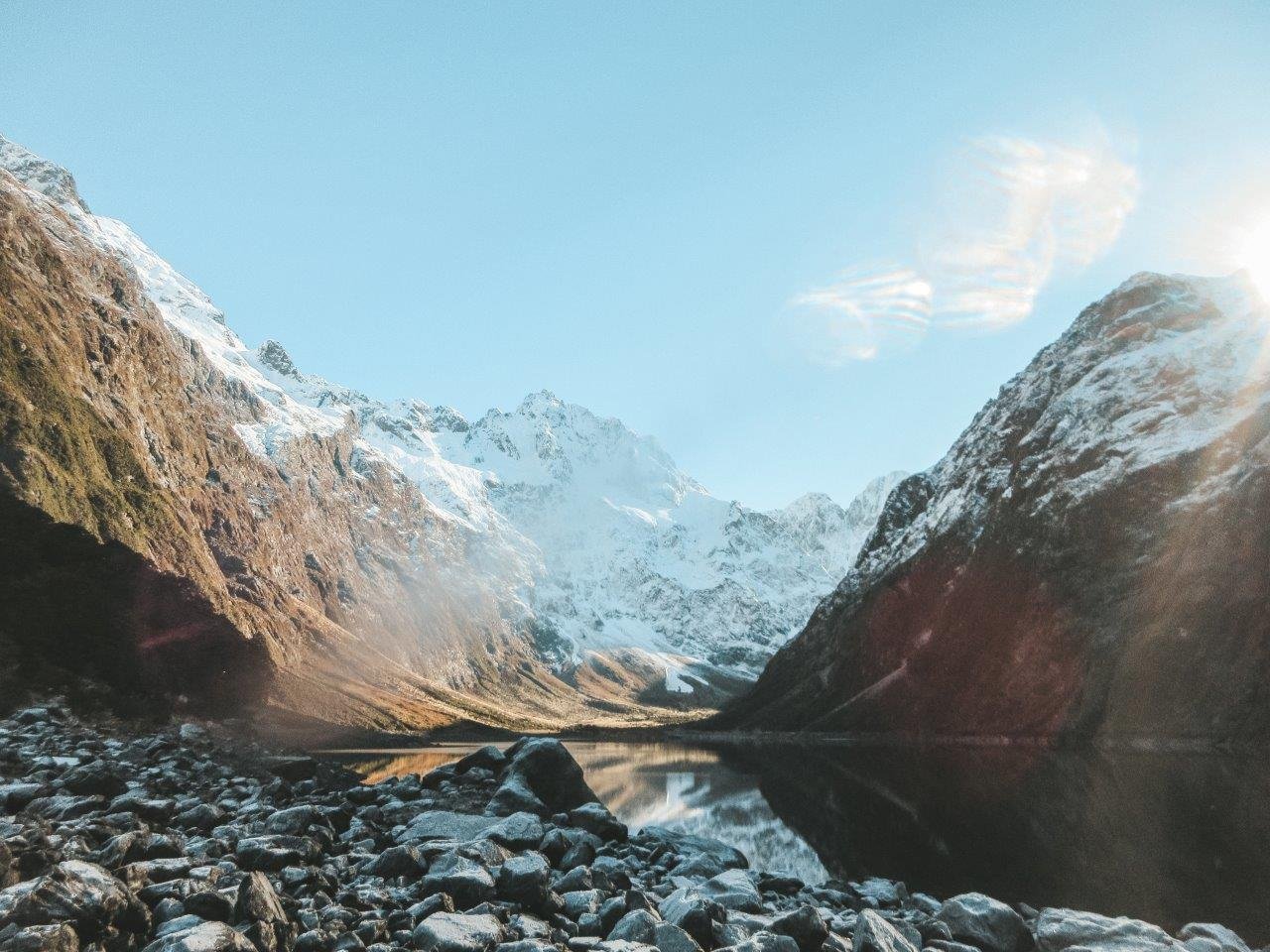
Lake Marian is a fantastic hike in Fiordland National Park. The hike ends at a beautiful mountaintop lake backed by glaciers of the national park. People come from around the world to experience the magic and wonder of this region on the southwest coast of New Zealand's South Island. The hike begins on Hollyford Road off Milford Highway, following signs for Lake Marian. The track is an in-and-out route marked by orange triangles.
DETAILS: this is a very fun and challenging hike consisting of plenty of trail obstacles to climb and scramble over, especially one section where you climb up the roots of a tree. The 6km roundtrip took us 2 hours.
Hooker Valley Track
Mount Cook National Park
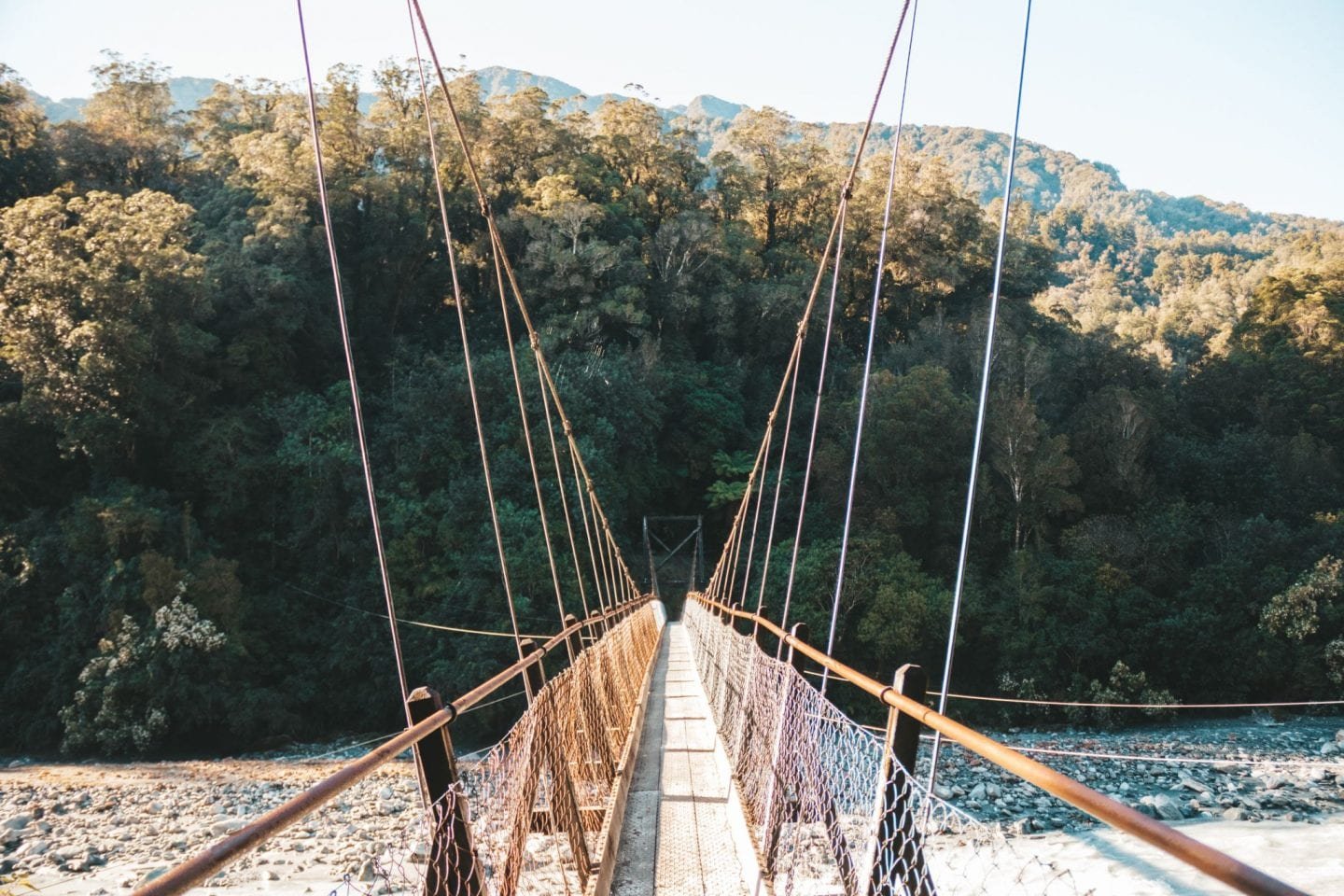
The most famous track of Mount Cook National Park is the Hooker Valley Track. On a clear day you will get stunning views of Mount Cook as you cross boardwalks and bridges. It's a stunning hike that, even if it's busy with all the tourists, is so worth it. My jaw dropped at every turn.
DETAILS: the hike is an easy 10km return hike with very minimal height change that wanders its way along the valley towards Mount Cook. It will take you about an hour each way to walk.
Tasman Glacier View
Mount Cook National Park
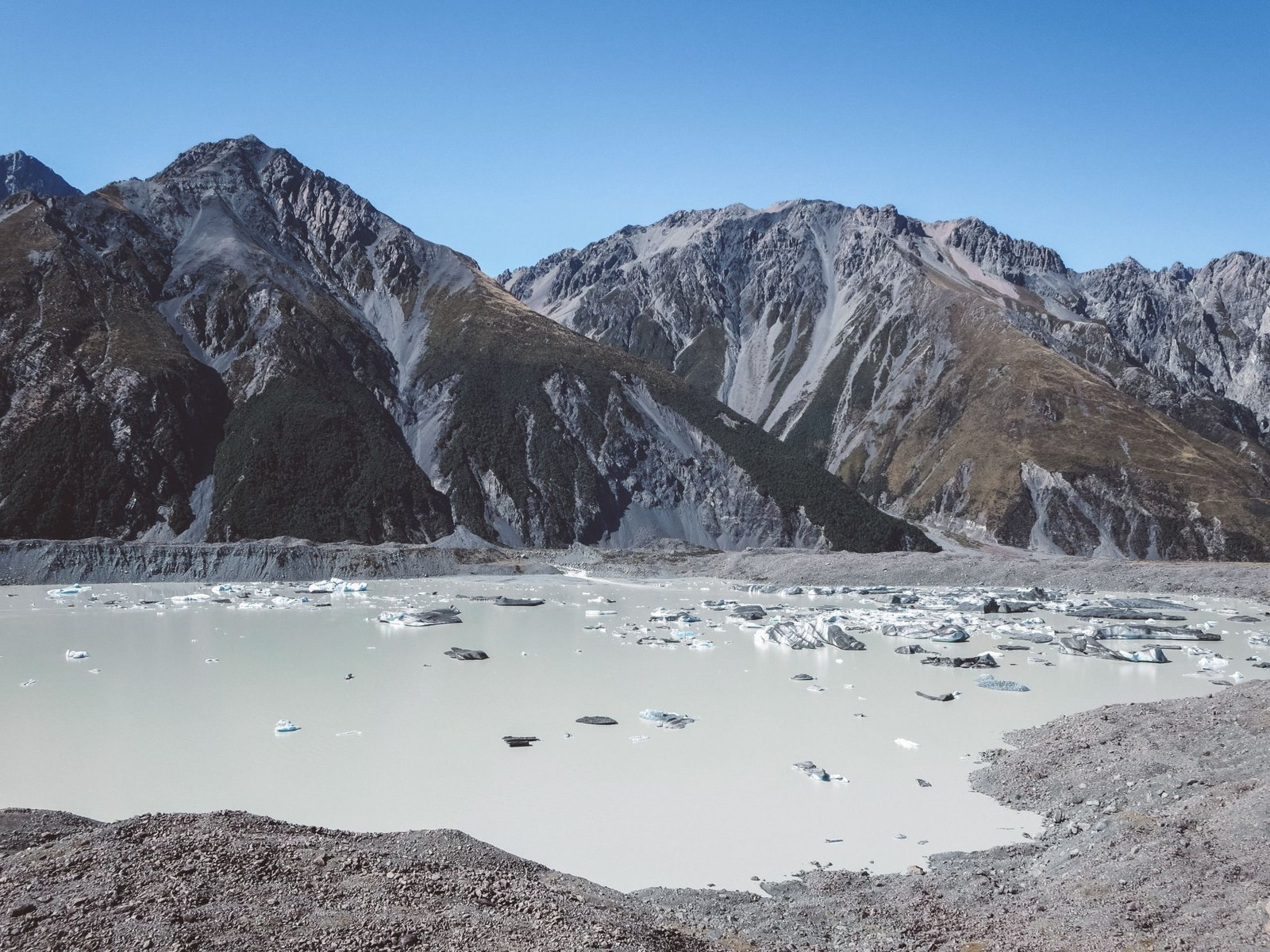
There are two main roads in Mount Cook National Park that lead to the various hikes; the Hooker Valley Road and the Tasman Valley Road. At the end of the Tasman Valley Road lies a car park that leads to the trailhead for the Tasman Glacier Viewpoint. The hike itself is a brief climb up wooden steps to the most incredible viewpoint of the Haupapa/Tasman Glacier feeding into the lake below!
DETAILS: the hike is an easy 2.6km return that climbs a set of wooden steps to a beautiful view over the glacier. The car park for this one is 8km from Mount Cook Village so while you can walk (I did, one way), it's faster to hitch-hike!
Sealy Tarns
Mount Cook National Park
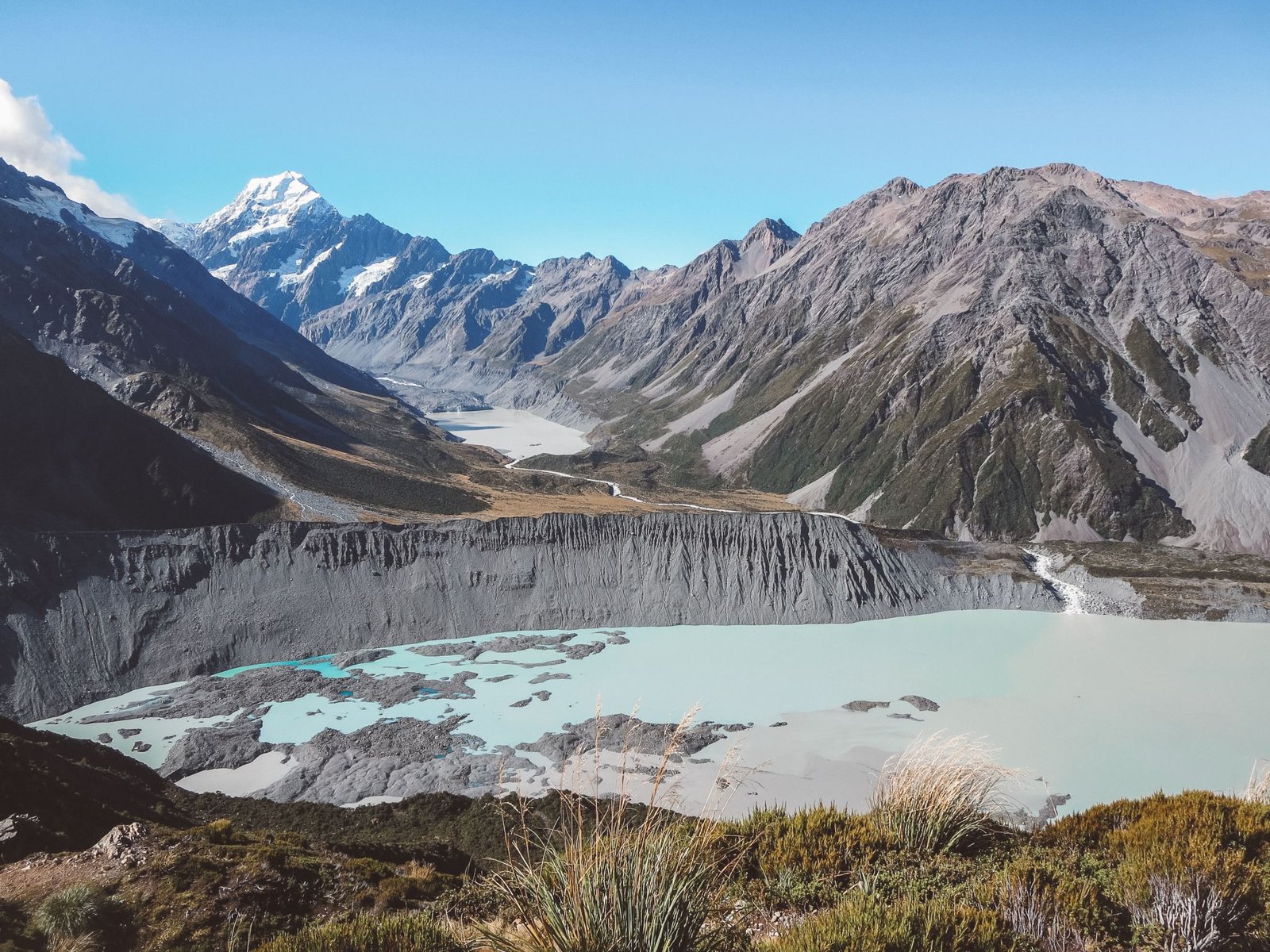
One of the most difficult hikes goes up Sealy Tarns. It's an intense hike that climbs steadily straight up the mountain to breathtaking panoramic views of Mount Cook, Mueller Glacier, Mueller Lake, Hooker Lake, the Hooker Valley and Mount Cook Village. An icy cold glacial waterfall will provide much needed cooling!
DETAILS: this 5.8km return hike is steep and strenuous climbing a whopping 2200 steps straight up the mountain. You can add on the trek to Mueller Hut from the summit. Bring plenty of water!
Hi! I’m Jana, a Dutch-German-British-Canadian with a dream of seeing every country in the world. I am a storyteller, photographer and adventurer passionate about documenting and sharing my travels.
