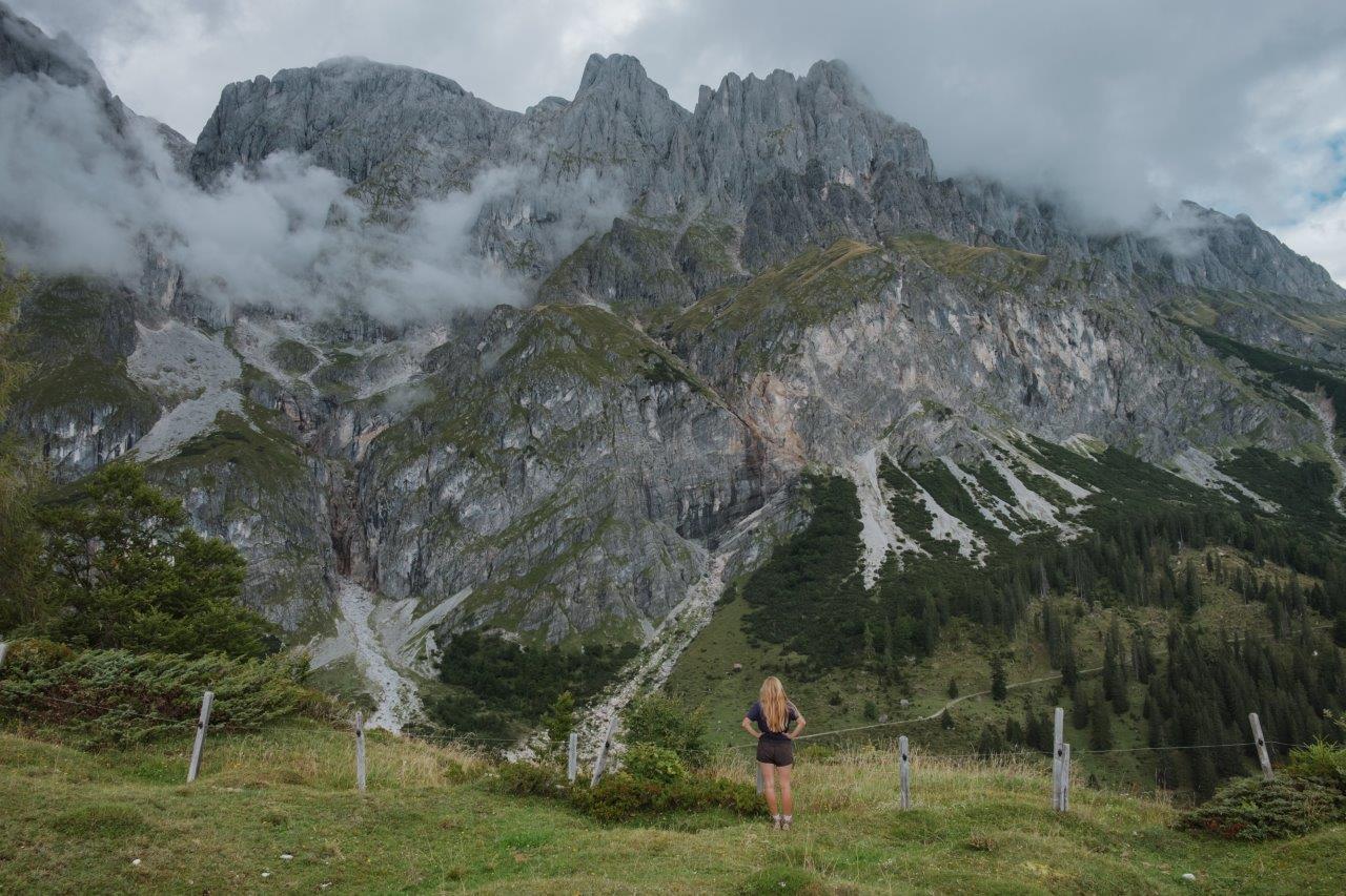
Summer rushed headlong into September this year, following weeks packed full of adventures across the continent (and others, too!), exploring, dreaming, loving, daring. Every year, this time of year is a forceful reminder of time come and gone, and a bittersweet realization that the lingering summer evenings, when the warmth of the day can still be felt on my skin, are slowly bidding us farewell, settling into a cooler season of comfort, of change and of self reflection.
I managed to squeeze in one last hike at "home" in Salzburg, taking the day to gaze wistfully at the mountains and breathe in the last scents of summer; the next time I'll see them they'll be covered in snow. I look forward to winter every year, but am forever nostalgic for what has been and gone.
The Salzburger Almenweg is a 31-stage 350km hiking trail across Salzburgerland, connecting the many beautiful alms and alpine huts of the region. You can through-hike the entire thing, staying at the huts along the way, or you can complete stages of the trail as day hikes. Some of them are - thankfully - accessible by bus and make one-way treks possible and beautiful.
I spent a gorgeous Sunday on stage 2 of the Salzburger Almenweg, an 11.3km stretch between Erichhütte and Arthurhaus, traversing the base of the surreal Hochkönig Mountains. I ended up hiking 14.2km because at one point, I left my tripod behind on the trail and had to double back to collect it... one of my most prized posessions and how I'm able to take such candid and beautiful photos as I hike solo.
SALZBURGER ALMENWEG STAGE 2 HIKE DETAILS
When: June to October
Where: near Bischofshofen
Difficulty: easy
Length: 11.3km from point to point, although I hiked 14.2km because I had to double back to retrieve my tripod, which took me about 3 hours
Directions: from the Erichhütte Parkplatz, hike about 30 minutes up to the Erichhütte. Then, turn right and follow signs for Vier Hütten and Arthurhaus (Trail No.436/401A). The trail is relatively flat and snakes around the base of the Hochkönig Mountains, ending at the Arthurhaus. Check out my Strava tracked hike for the trail route and details.
Bathrooms: yes, at the various alpine huts along the way
Public Transit: yes, from Bischofshofen train station (which you can reach direct from Salzburg Hbf), take bus 590 in direction Mühlbach am Hochkönig. Get off at Mühlbach Gemeindeamt and transfer to bus 593 in direction Dienten am Hochkönig. Get off at Dienten a. Hgk. Parkplatz Erichhütte. After your hike, take bus 593 straight from Arthurhaus and again get off at Mühlbach Gemeindeamt. Cross the street and take the 590 bus back to Bischofshofen Station. Check out Salzburg Verkehr for the bus schedule (annoyingly, the regional buses don't show on Google Maps).

Shortly after leaving the parking lot, climbing to Erichhütte


Just behind the Erichhütte


Plenty of cows graze in the alms of this trail


PIN THIS POST TO REFER BACK TO LATER!


Hi! I’m Jana, a British-Dutch-Canadian with a dream of seeing every country in the world. I am a storyteller, photographer and adventurer passionate about documenting and sharing my travels.
