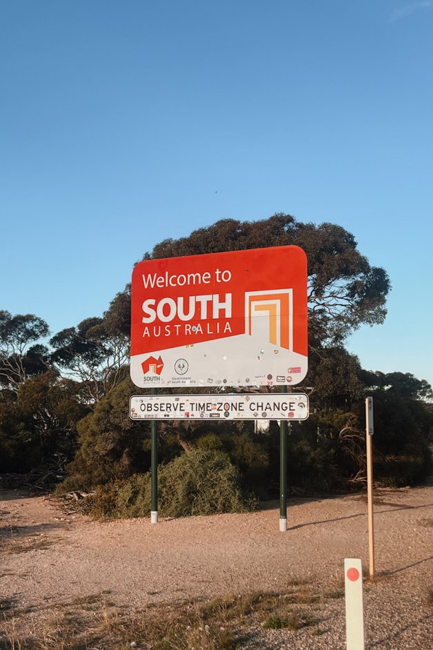
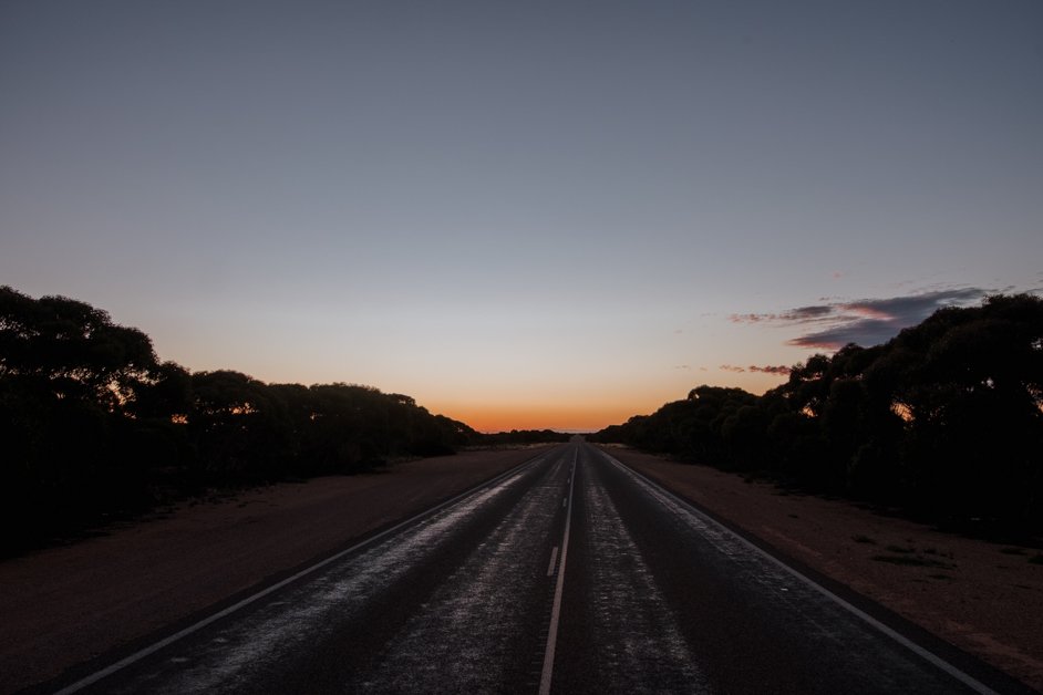
The Nullarbor is a vast, empty region stretching across southern Australia and is one of the country's greatest stretches of driving.
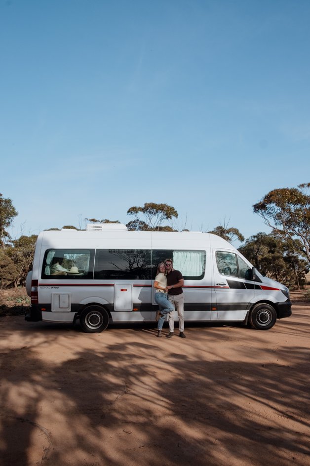
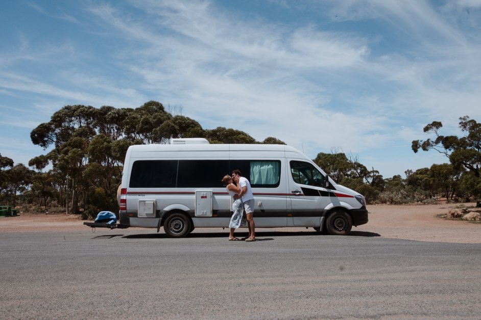
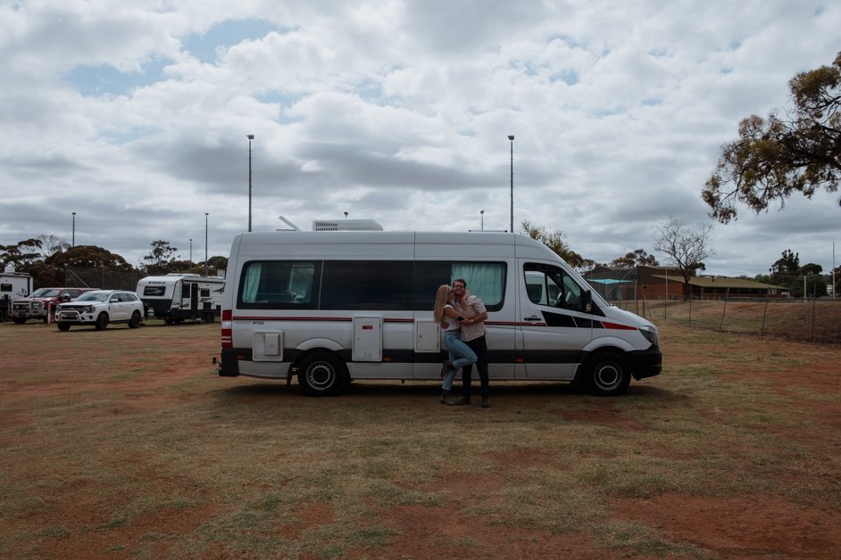
We're currently living full-time in our campervan, a 2018 Mercedes Sprinter, and exploring Australia, with a plan of "driving the lap" (completing the entire perimeter of the country). I first visited Australia in 2019, following the classic backpacker route, mostly visiting big cities, staying in hostels and traveling by public transport. This time, with the freedom of our campervan, we're trying to hit the lesser known spots and go slower.
The Nullarbor has a bit of a reputation as being dangerous but we've driven it twice and felt absolutely zero fear. There are tons of others driving on the road, plenty of roadhouses to visit with only a few hundred kilometres between them and campgrounds dotted all along the way (both free and paid). I think the scariest part was driving after sundown with a fear of hitting a kangaroo or a wombat - but this is not a problem limited to just the Nullarbor, that's something you have to worry about in the entire country!
We first drove the Nullarbor at the end of October 2025 from east to west and then drove it again at the beginning of December back the other direction. This blog post contains information from both those trips.
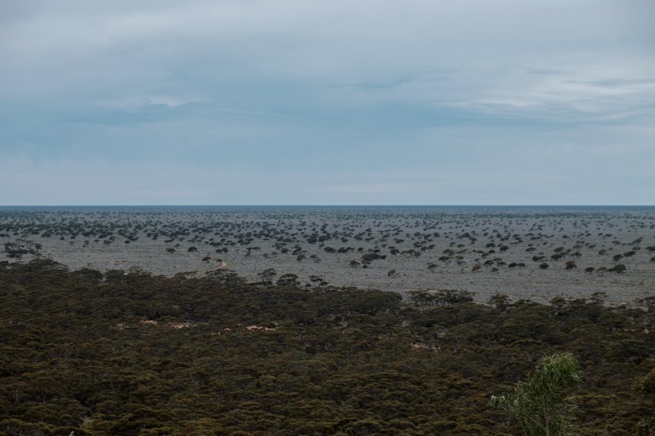
The Nullarbor is a vast region stretching about 200,000 square kilometres across a vast, empty landscape in southern Australia. The drive is one of Australia's greatest, and so many travelers have it on their bucket list.
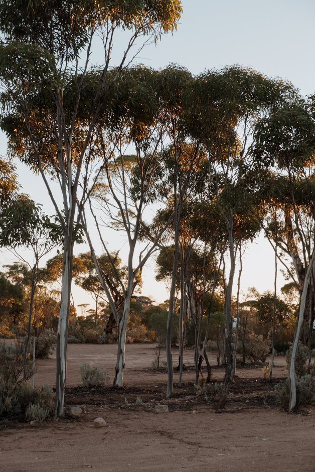
Nullarbor literally means "no trees" and much of the area is just that: treeless. It is the world's largest single exposure of limestone bedrock but having said that, we did spot a lot few trees and bushes!
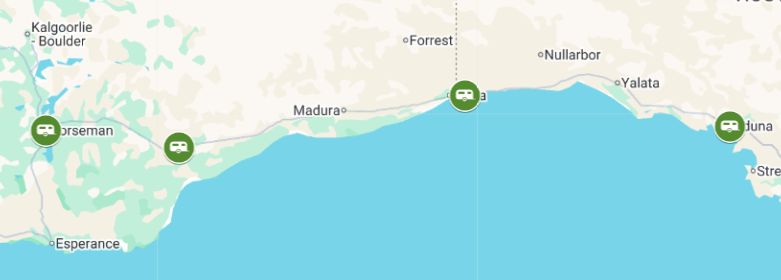
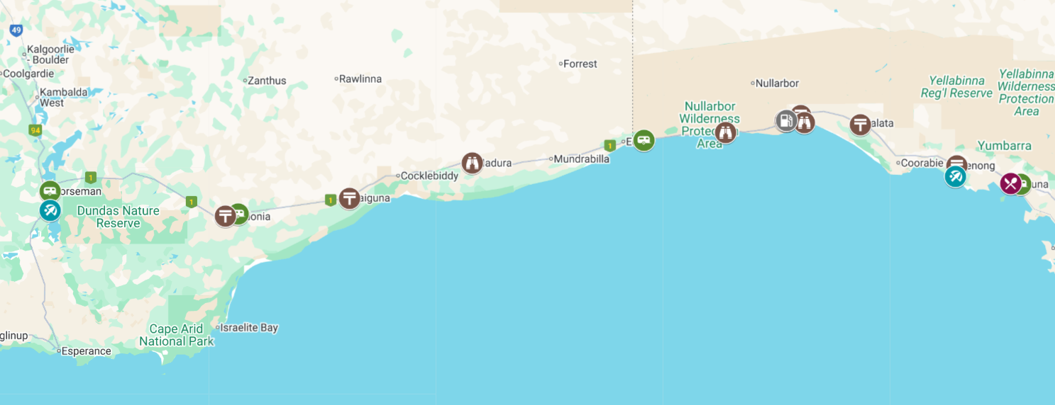
The main driving route across the Nullarbor is at its widest point, stretching from Ceduna, South Australia across to Norseman, Western Australia, a journey of approximately 1200 kilometres.
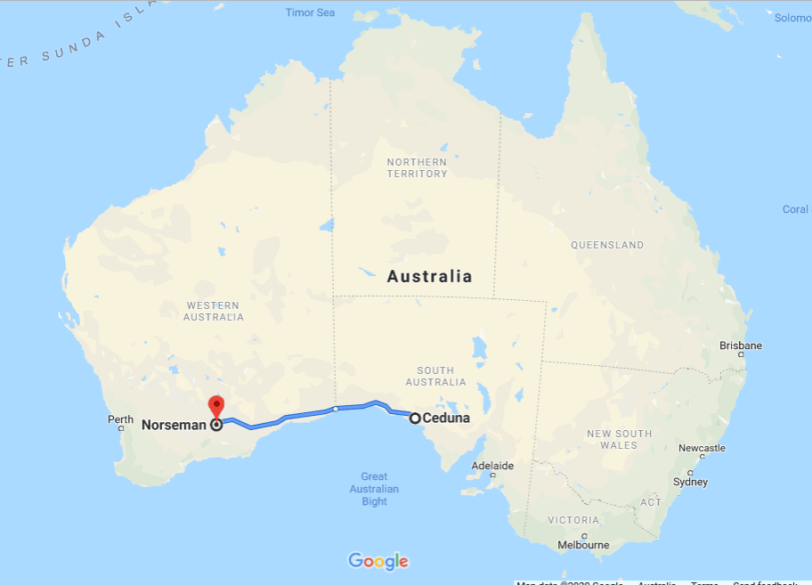
A map of the Nullarbor from Ceduna to Norseman
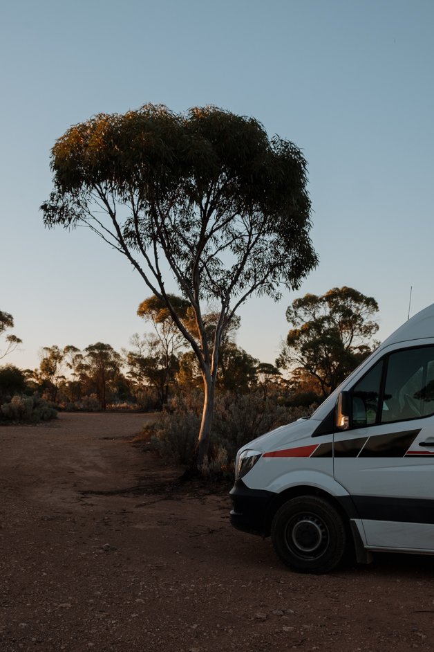
By car: The best way to experience the Nullarbor is with your own wheels. The most popular way of exploring Australia is by camping - whether with a motorhome, campervan, caravan or a roof tent on top of a car. This gives you the ultimate freedom of going as fast or as slow as you like. On our way west, we did the entire Nullarbor in one day, staying in both Ceduna and Norseman. On our way east, we spent two nights camping on the Nullarbor.
If you have a car without camping options, there are roadhouses to sleep in along the way.
By guided tour: If you don't have your own wheels or simply don't want to tackle the 1200km yourself, Untamed Escapes do a guided tour of the Nullarbor region.
→ Book a guided tour of the Nullarbor with Untamed Escapes.
By train: Indian Pacific, a luxury rail company, offers a train service between Sydney, Adelaide and Perth. The three-night service could be a fabulous way to cross the Nullarbor in style.
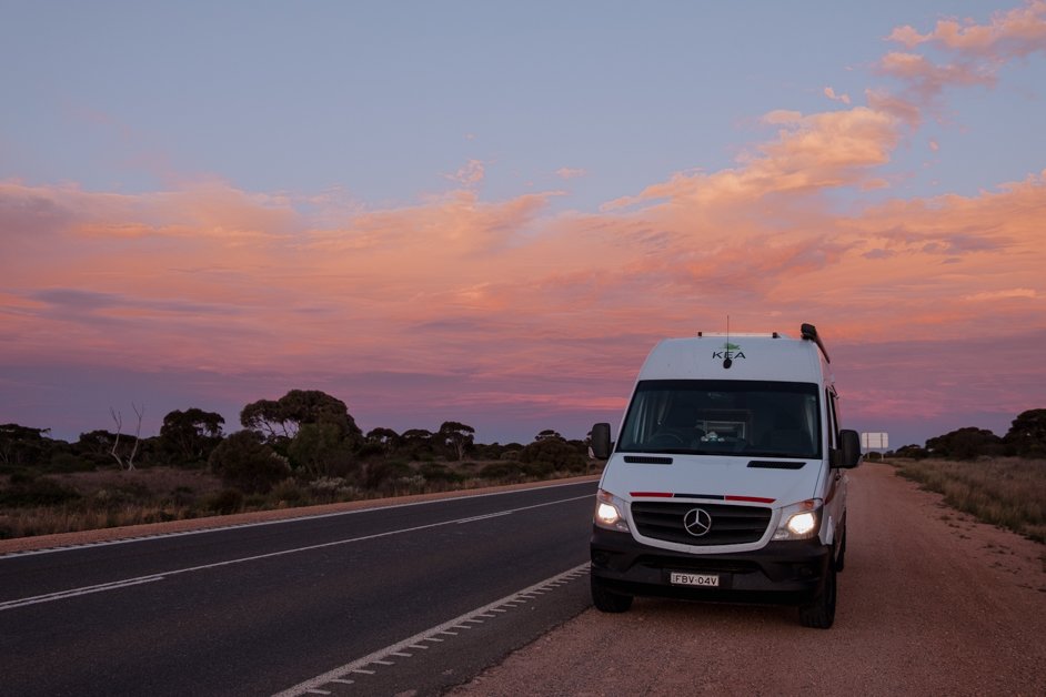
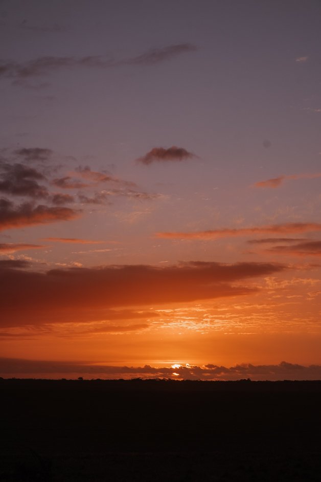
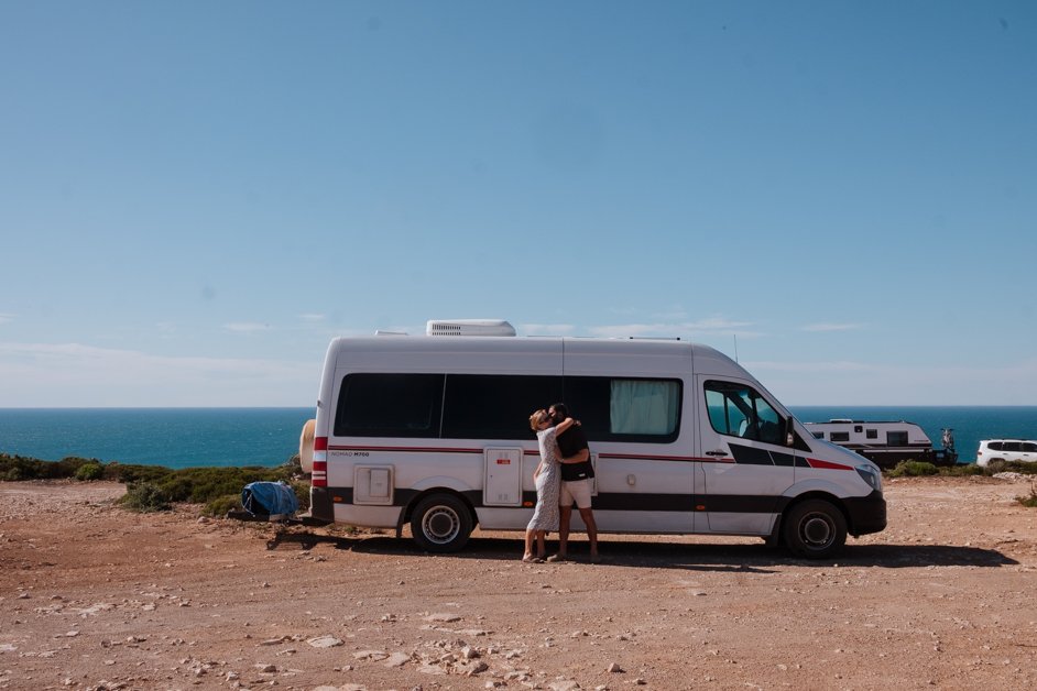
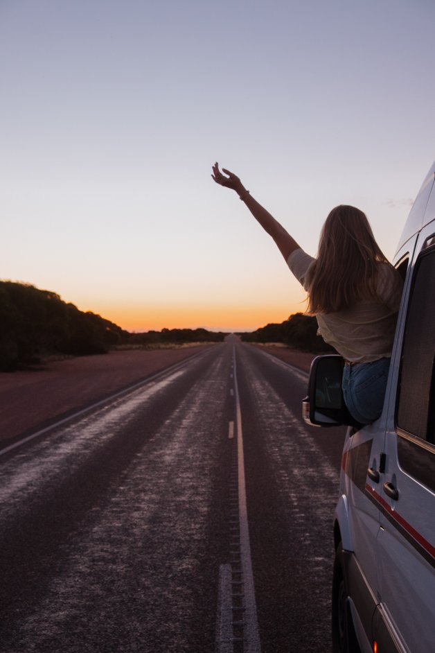
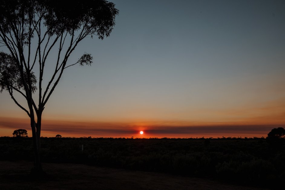
Sunset on the Nullarbor in our campervan
The most popular way of exploring Australia is by camping - whether with a motorhome, campervan, caravan or a roof tent on top of a car. This gives you the ultimate freedom of going as fast or as slow as you like.
Along the way, there are plenty of campgrounds to stay in along the Nullarbor, both paid and free. The best way to find legal freedom camping spots is to use an app. We use Wikicamps Australia, a cheap app that has every single amenity listed (both free and paid) that you might need on the road. This includes things like where to fill up fresh water, where to dump grey water, where to empty toilets, where to stay, gas stations, information points and also has suggestions for things to do as you go.
→ Download the Wikicamps Australia app.
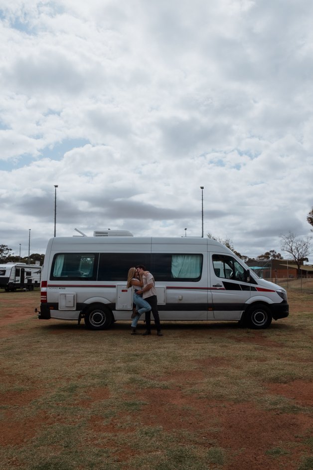
We stayed at four free campgrounds between our two drives across the Nullarbor:
Where we camped along the Nullarbor
Thick Trees Camp in Ceduna
Norseman RV Site
If you have a car without camping options, there are also quite a few roadhouses to sleep in along the way. The most iconic of them all is the Nullarbor Roadhouse, a great choice for a one-night stay along the Nullarbor.
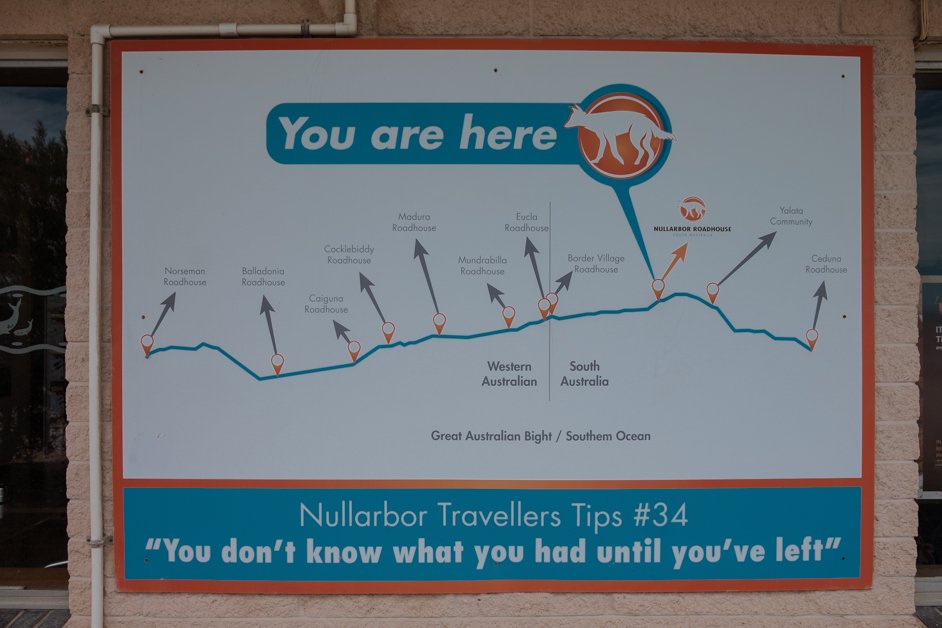
A map of the roadhouses along the Nullarbor with food, gas and accommodation
The Nullarbor stretches 1200km from Ceduna, South Australia across to Norseman, Western Australia. We have driven the Nullarbor twice, once in both directions. Here is everything we stopped to see along the way, listed in geographical order from east to west:
Best things to see and do on the Nullarbor
Ceduna
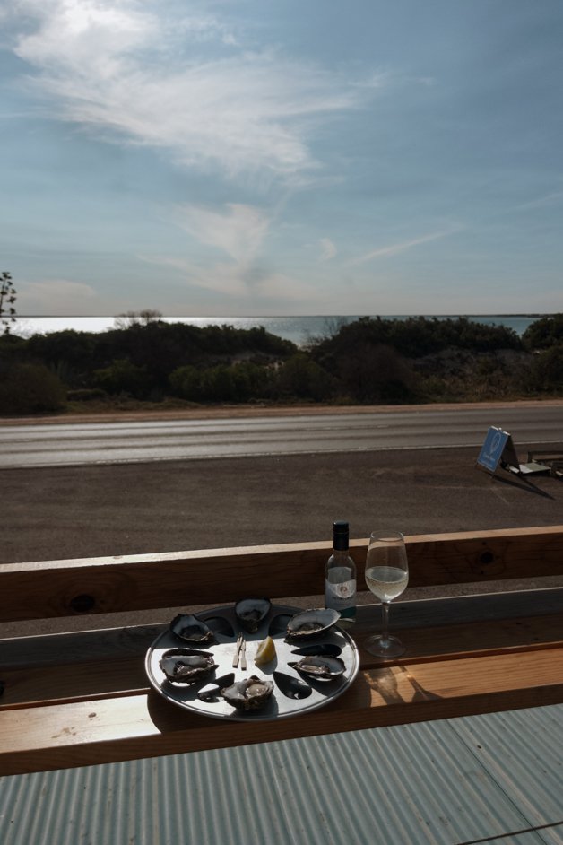
Start your time on the Nullarbor by staying in Ceduna. This way, you can officially begin the Nullarbor in the morning. We camped at Thick Trees Camp, a free campground. Ceduna is also a great spot to fill up on gas before you hit the road.
I don't eat seafood, but Tobi says that the Ceduna Oyster Barn had delicious oysters.
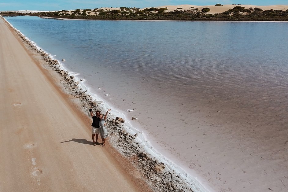
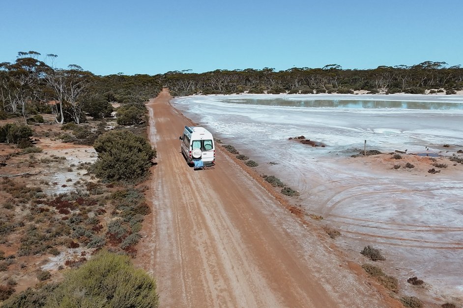
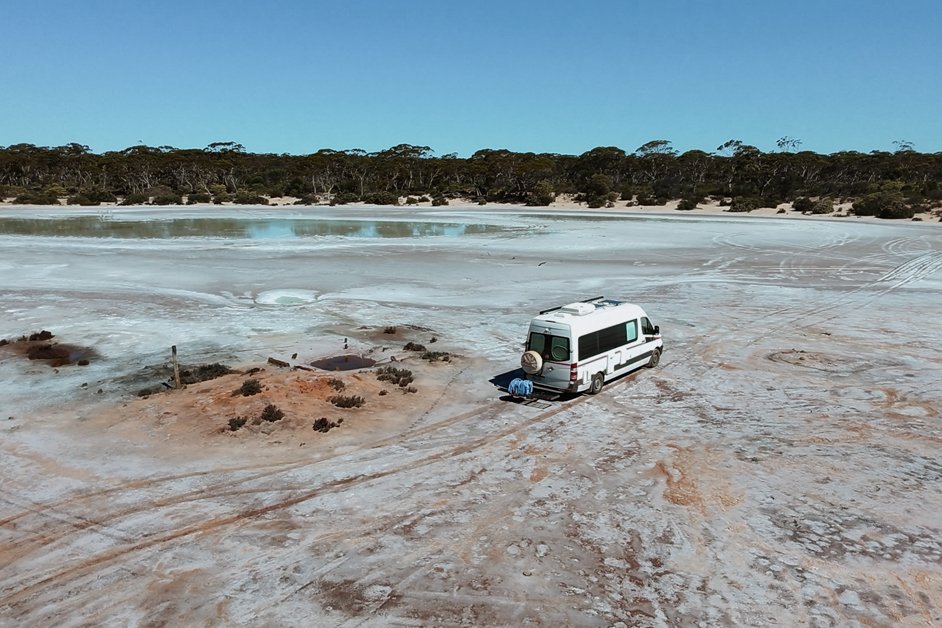
Lake Macdonnell
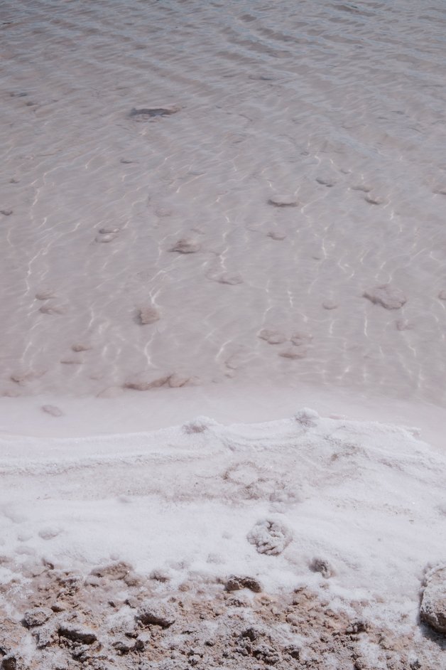
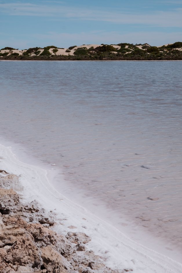
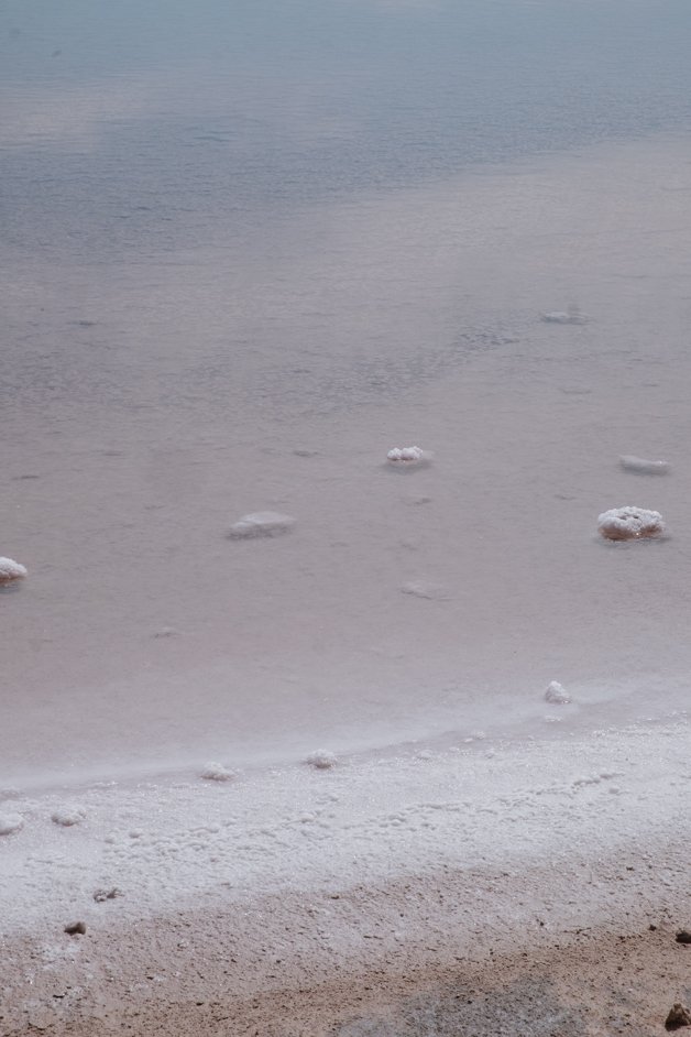
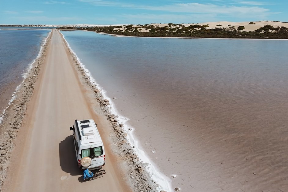
This lake is a little bit off the Nullarbor down towards the coast. It's a salt lake and has a pink hue to it which is especially nicely contrasted with the normal-coloured lake on the other side of the road! I think it shows up more pink under certain weather conditions so it didn't seem *that* pink to us, but we've seen photos where it's literally bright pink, so I guess you have to get lucky!
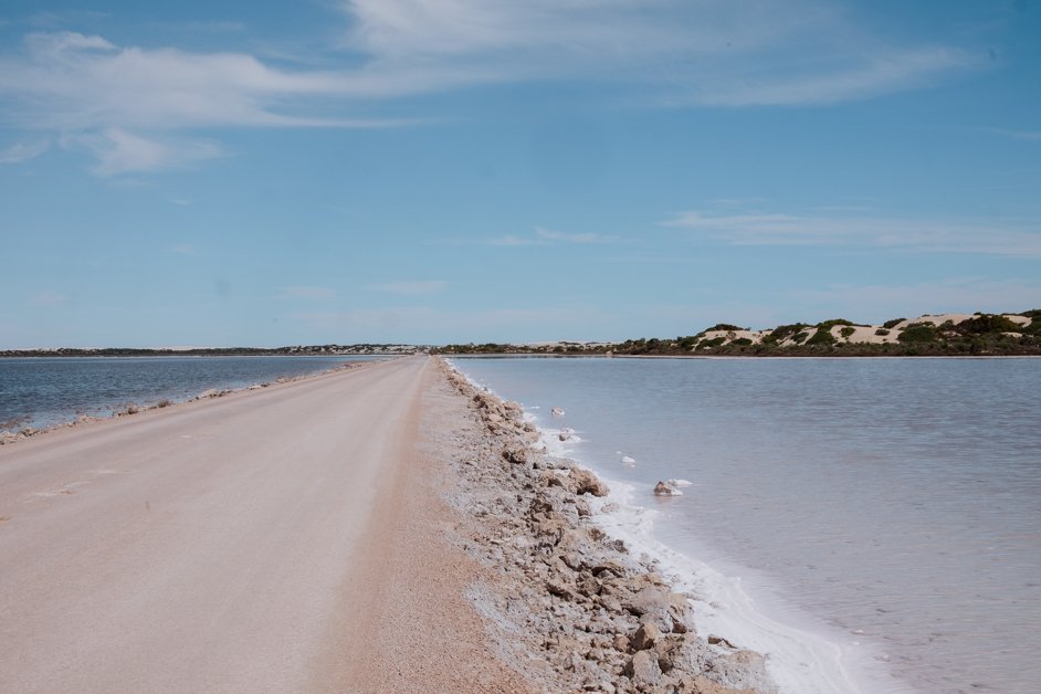
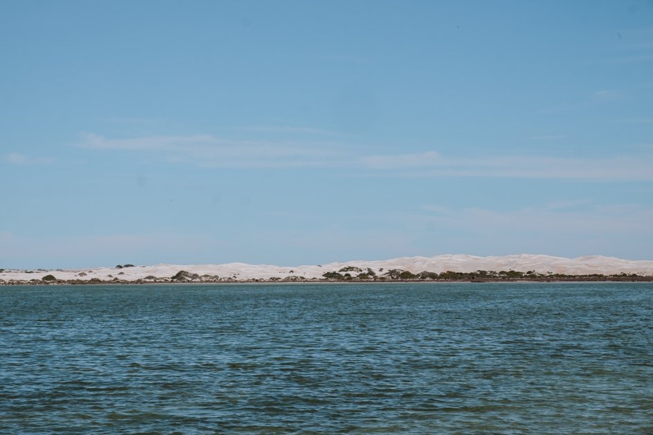
The normal-coloured lake on one side of the road
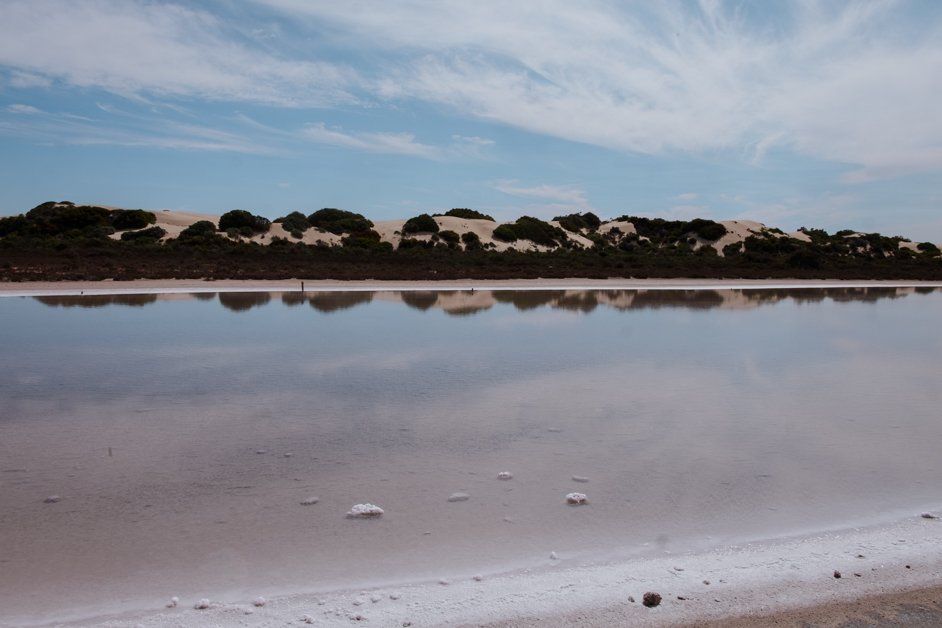
The pink salt lake on the other side
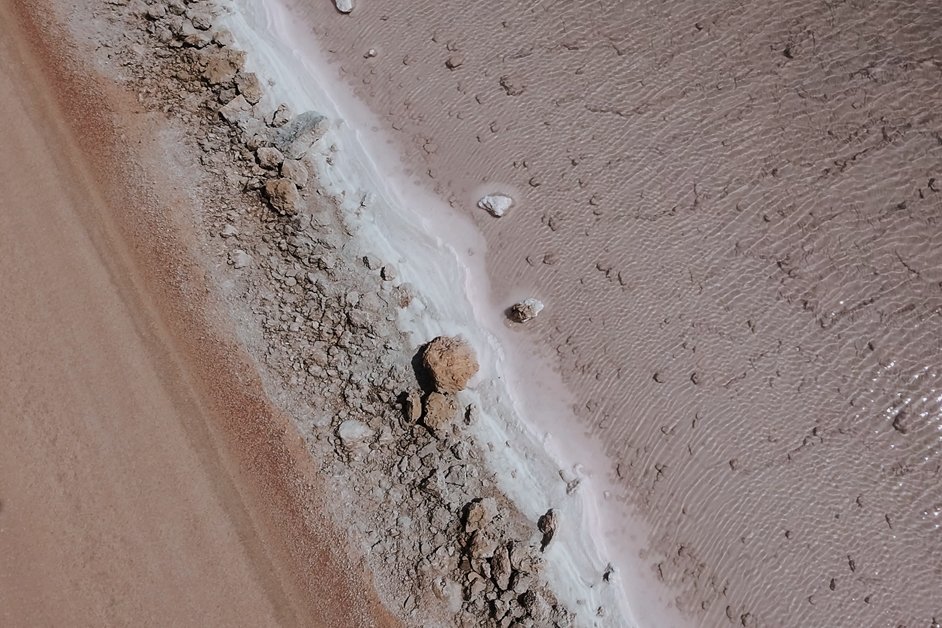
Seen with our drone
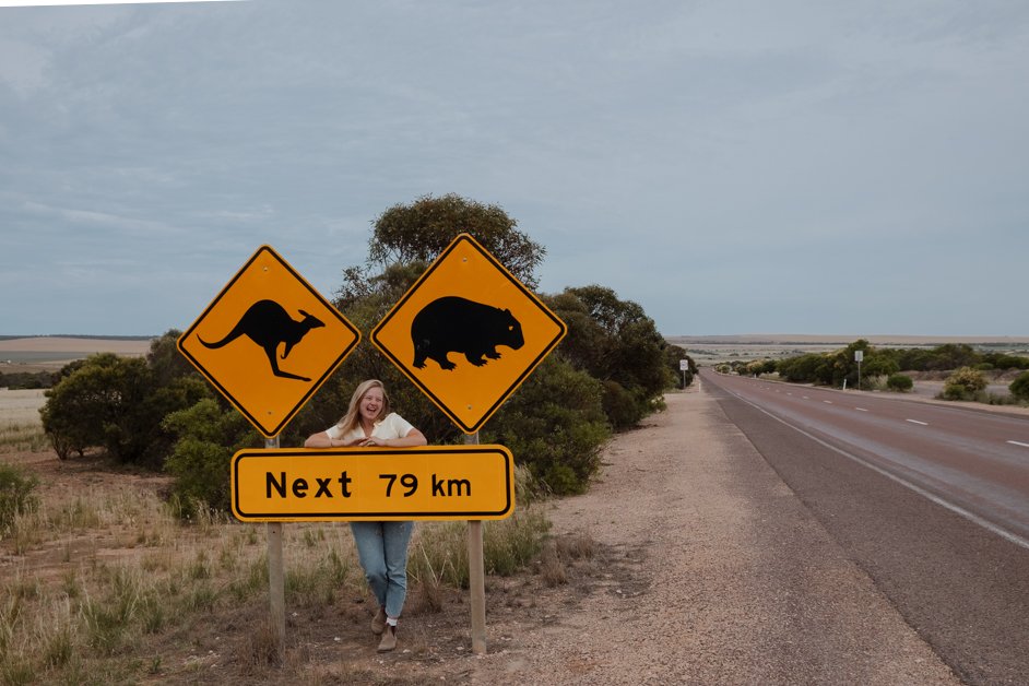
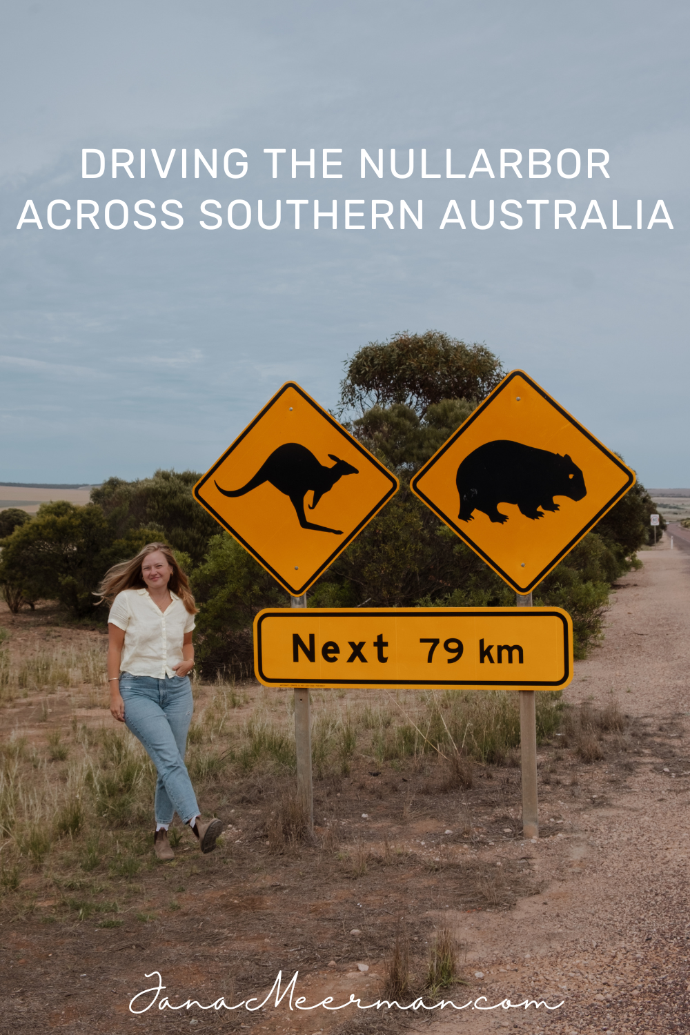
Kangaroo & Wombat Road Marker
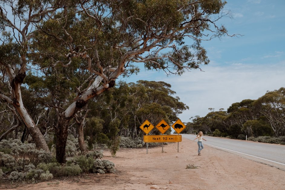
One of the best parts of the Nullarbor is driving past all the animal signs dotted along the way preparing you for any potential wildlife you might meet; spoiler: we hardly saw any. Whenever you see photos of the Nullarbor, it tends to include one of the animal signs! This is a fun one right off the bat just outside Penong.
Camel, Kangaroo & Wombat Road Marker
This might be one of the most famous animal signs of the Nullarbor featuring a camel, kangaroo and wombat. It's just across the road from the Yalata Roadhouse.
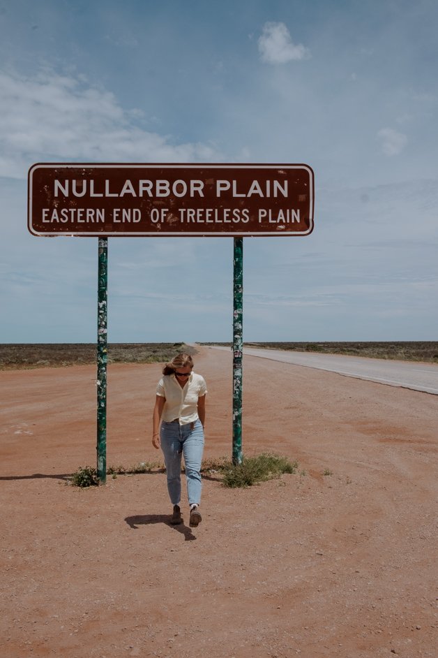
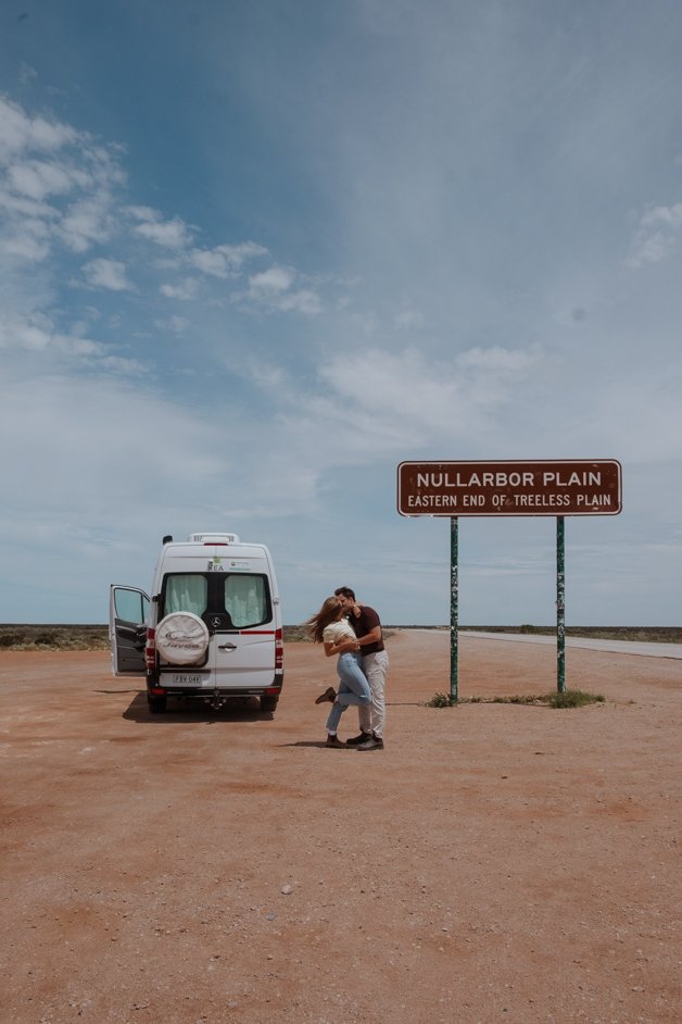
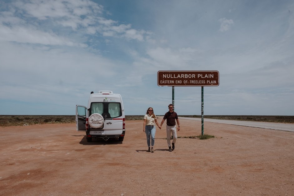
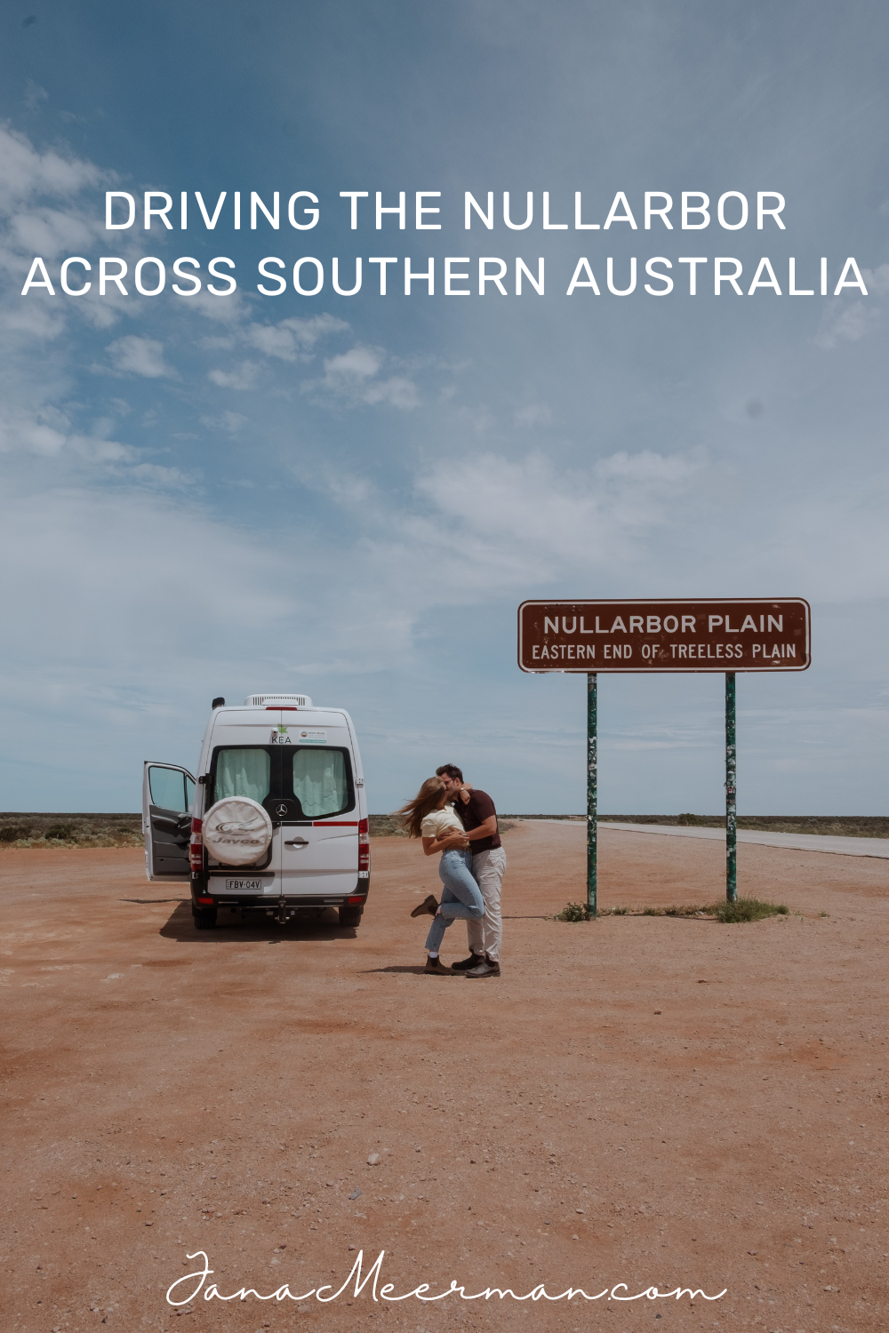
Eastern End of the Nullarbor Plain
This sign marks one end of the 20km stretch of the Nullarbor Plain where there are no trees.
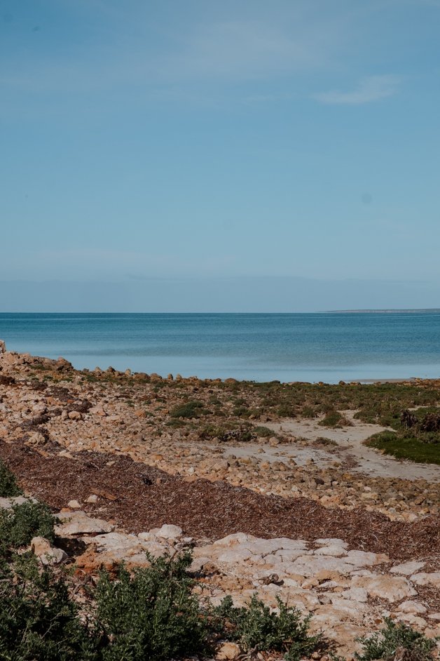
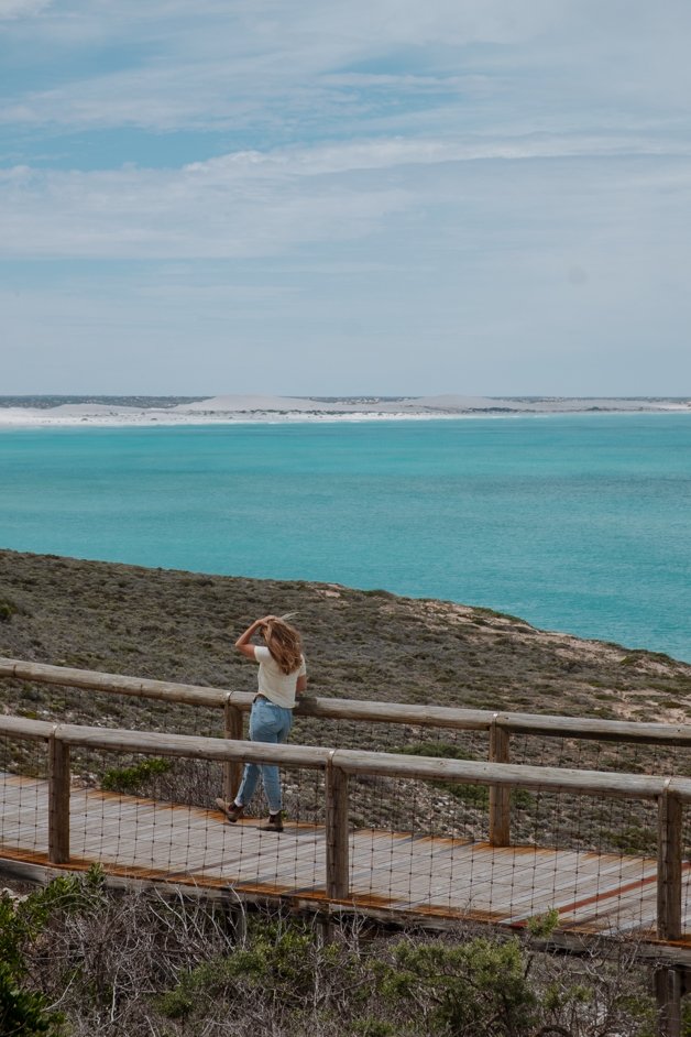
Head of the Bight Lookout
A turnoff brings you down to the coast and the Great Australian Bight Marine Park. Head of the Bight is one of the best places to watch whales. Because of the calm waters here in the bay, whales give birth to their calves here. If you come at the right time of year between May and October, you might get to witness this incredible moment! Even if you're here outside that timeframe, I highly recommend this gorgeous walk along the coastline.

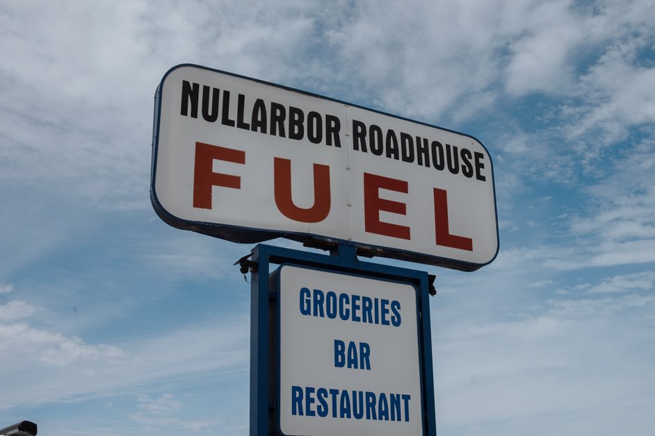
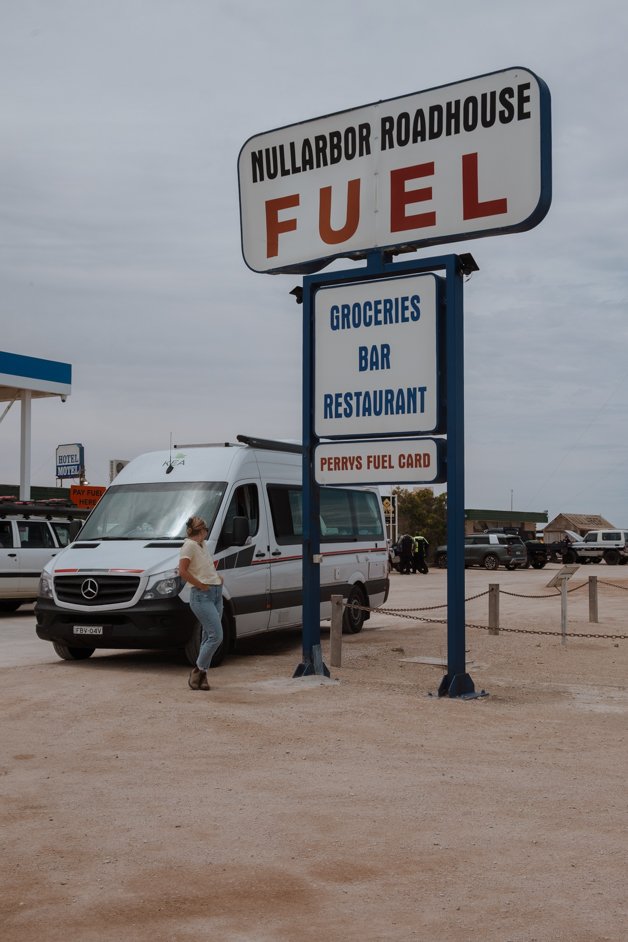
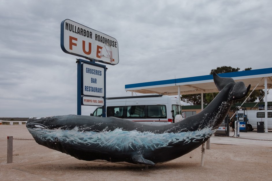
Nullarbor Roadhouse
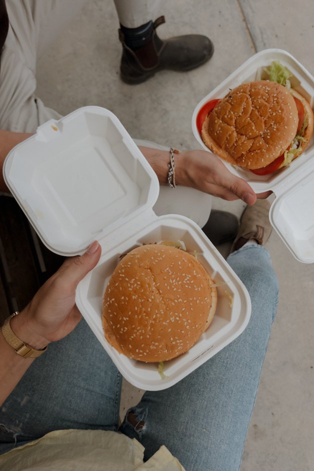
The Nullarbor is dotted with roadhouses along the way where you can stop for gas, a bite to eat, toilets and also usually accommodation is available. Of all of them, the Nullarbor Roadhouse is the most iconic one, looking straight out of the 70s with historical signs, a giant whale sculpture and a proper adventure vibe all around. They also do a decent burger.
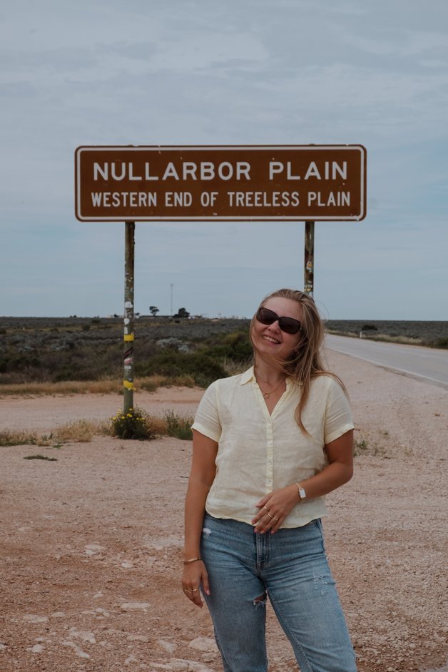
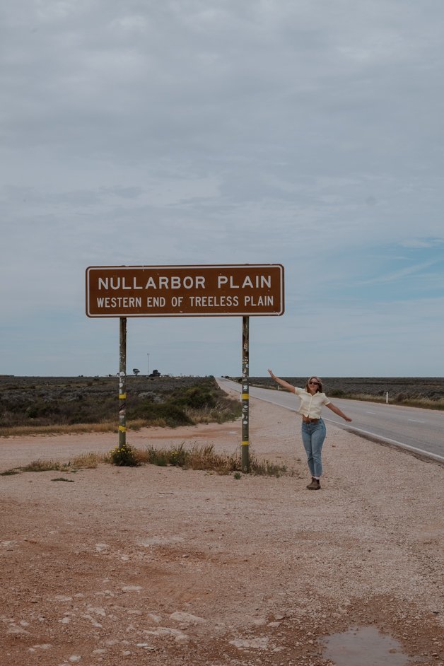
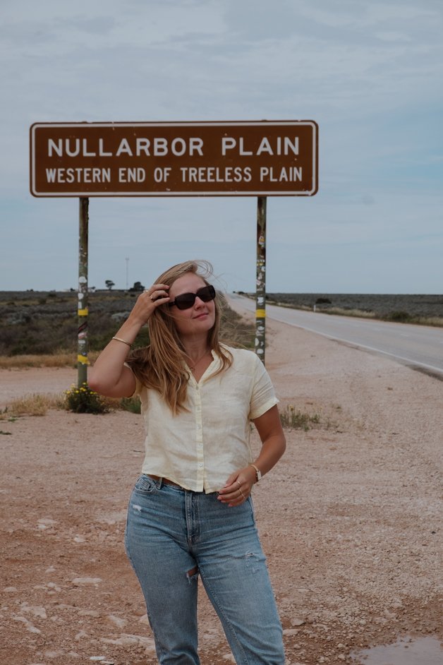
Western End of the Nullarbor Plain
This sign marks the other end of the 20km stretch of the Nullarbor Plain where there are no trees.
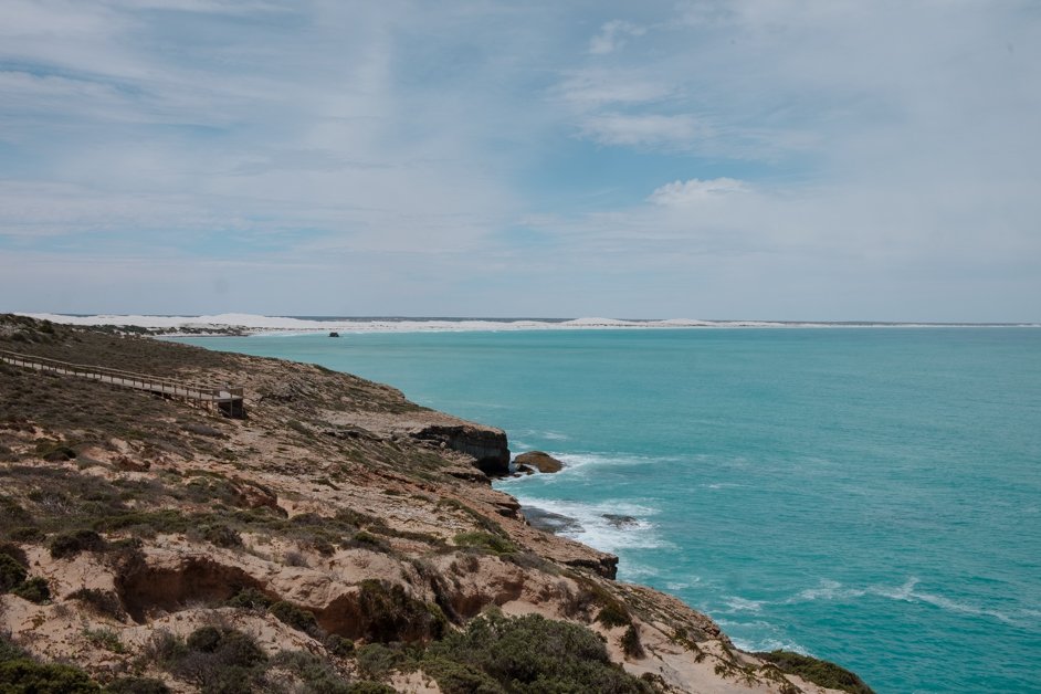
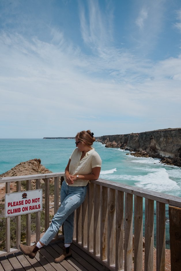
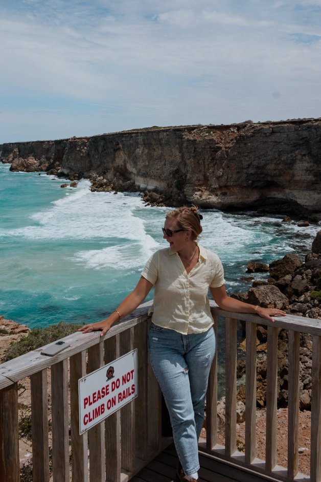
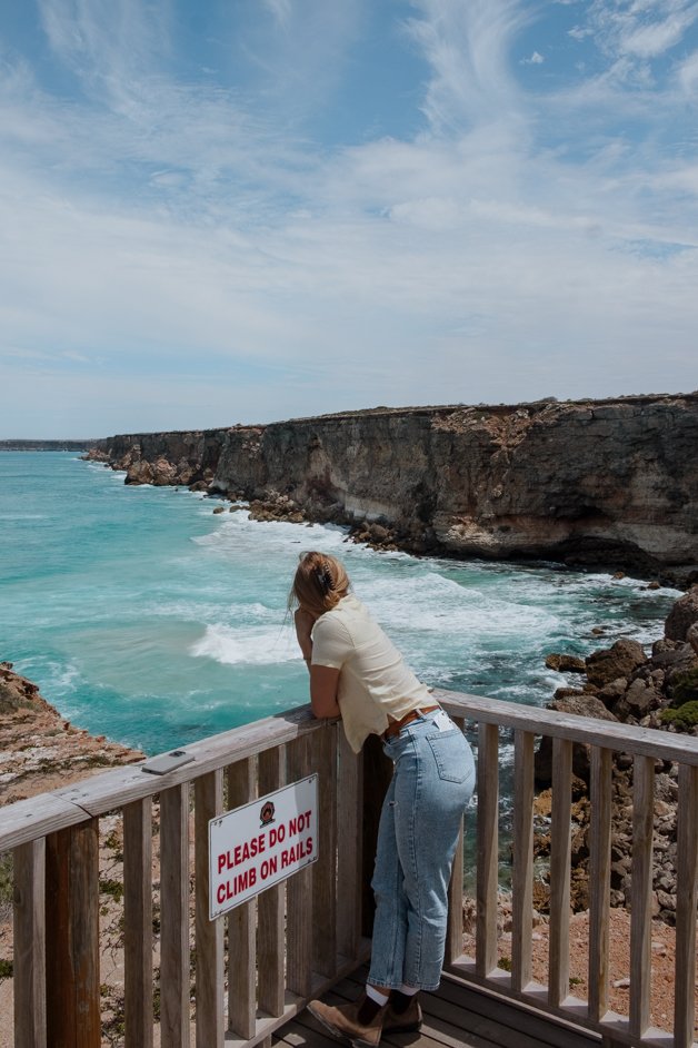
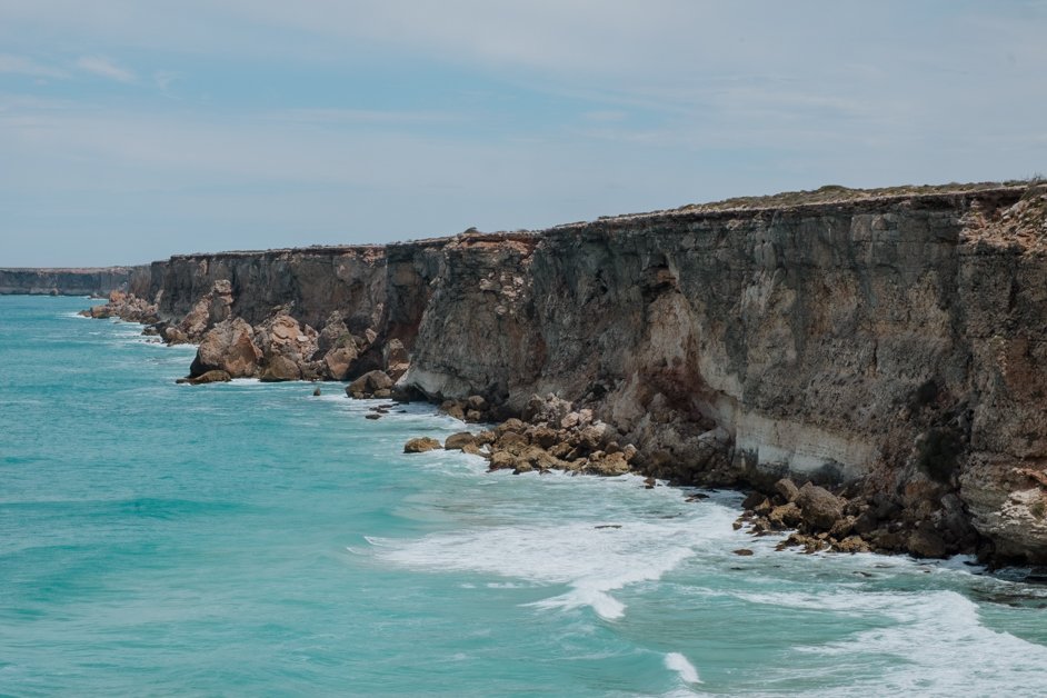
Great Australian Bight Scenic Lookout No. 1
We only stopped very briefly at this spot because while the view is simply breathtaking overlooking the Great Australian Bight, the flies were horrific. I can really recommend face nets!

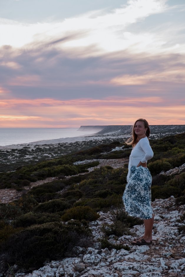
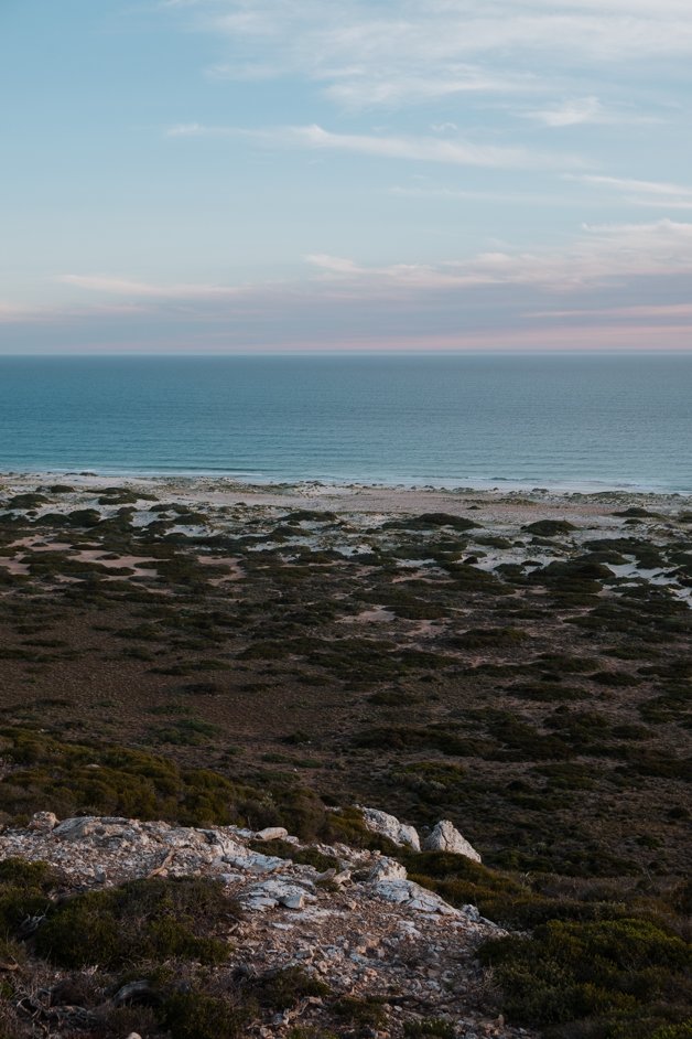
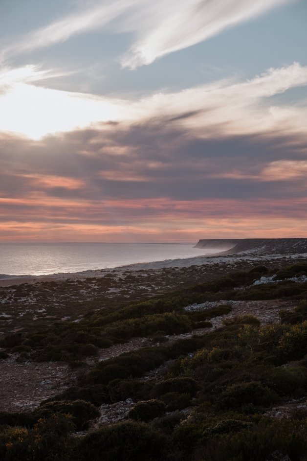
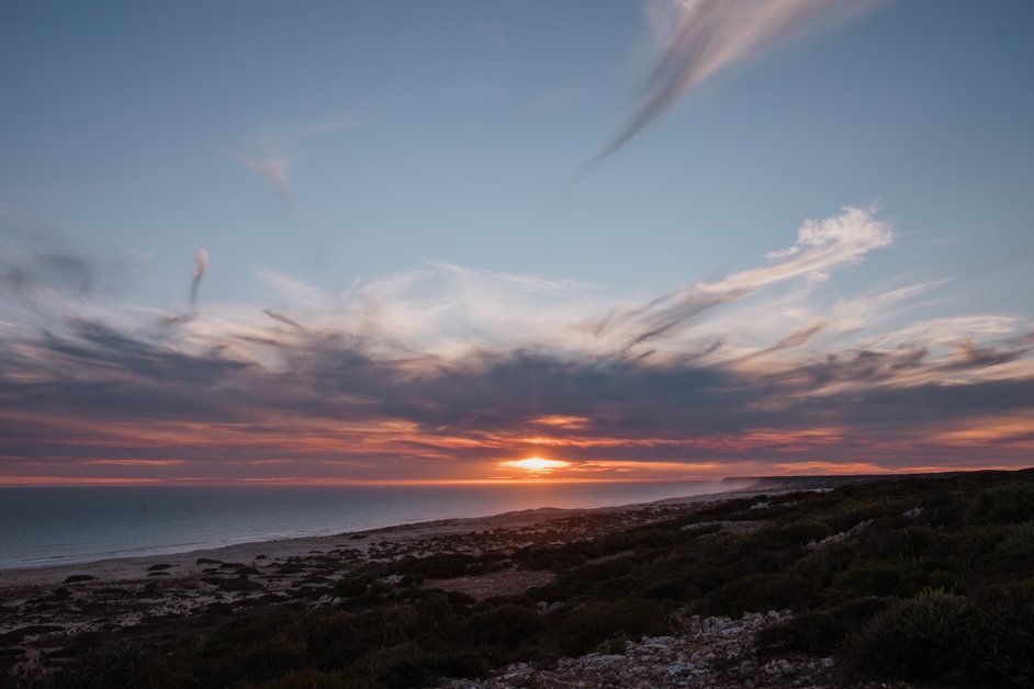
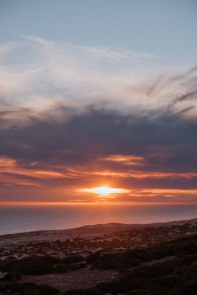
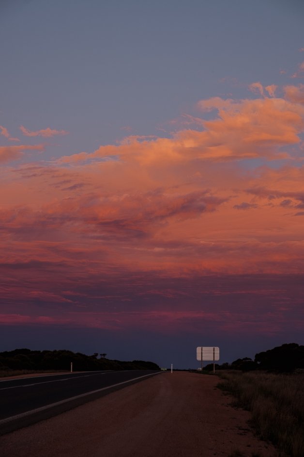
Tomato Cliff
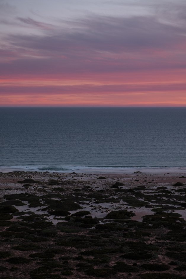
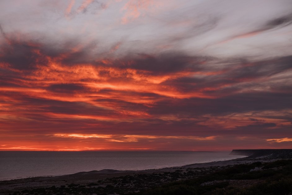
We free camped here on our way back across the Nullarbor the second time and were greeted with one of the most insane sunsets ever. Tomato Cliff makes you feel incredibly tiny; the ocean stretches out beyond view and the beach is simply massive in front of you from where you stand overlooking it from the high cliff. Highly recommend a stop here.
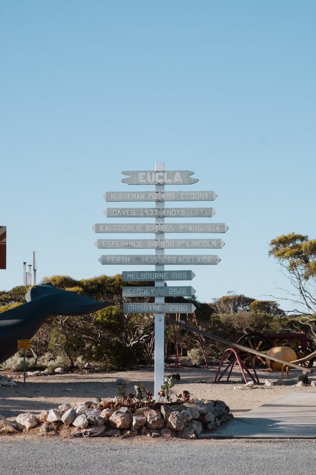
Eucla and State Border
There is a small roadhouse with a gas station in Eucla, right on the border between Western Australia and South Australia. Keep an eye out for the cool sign in Eucla that shows the distance to key points across Australia; makes you realize how big this country is!
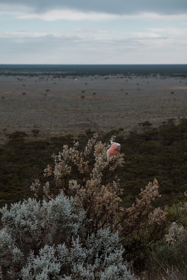
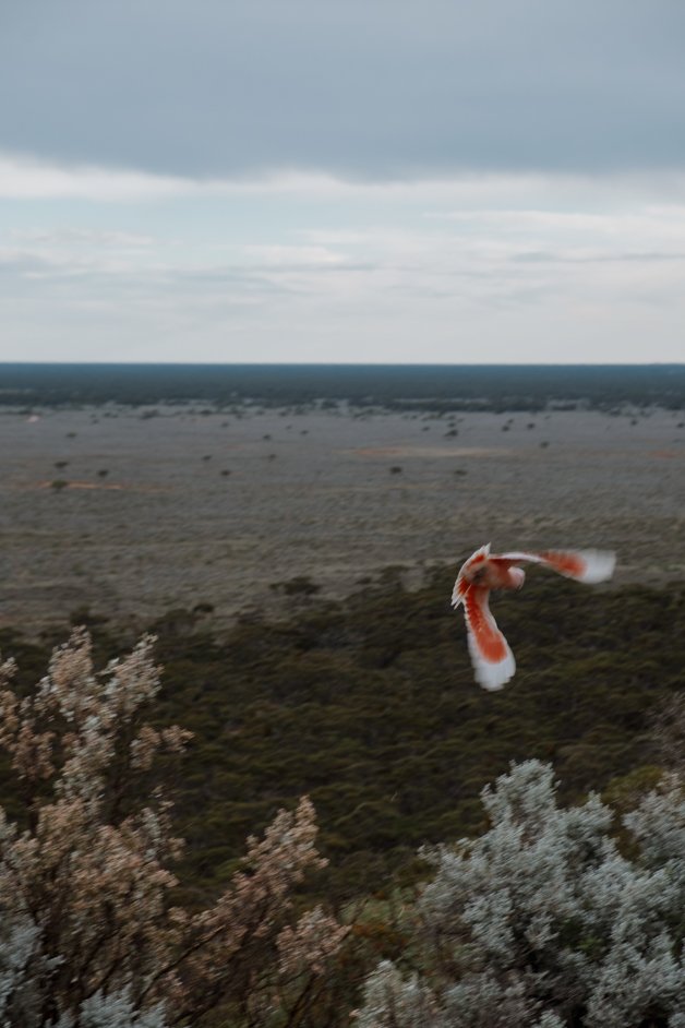
Madura Rest Stop
A small viewpoint overlooking the trees of the Nullarbor, near the border between Western Australia and South Australia. If you're lucky, you might see gorgeous pink galahs in the trees.
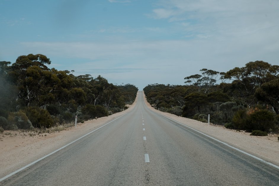
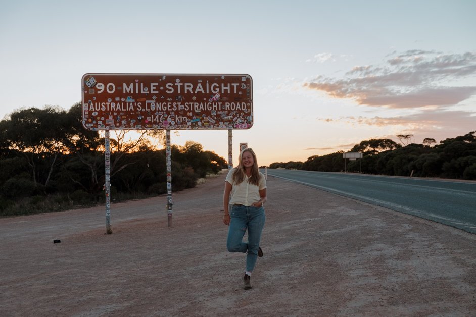
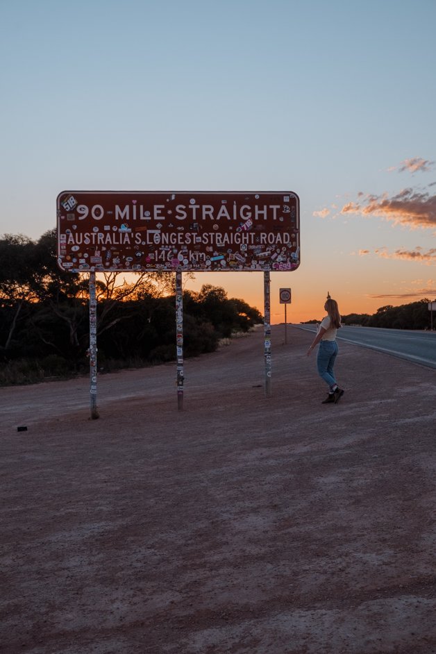
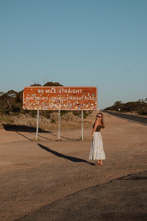
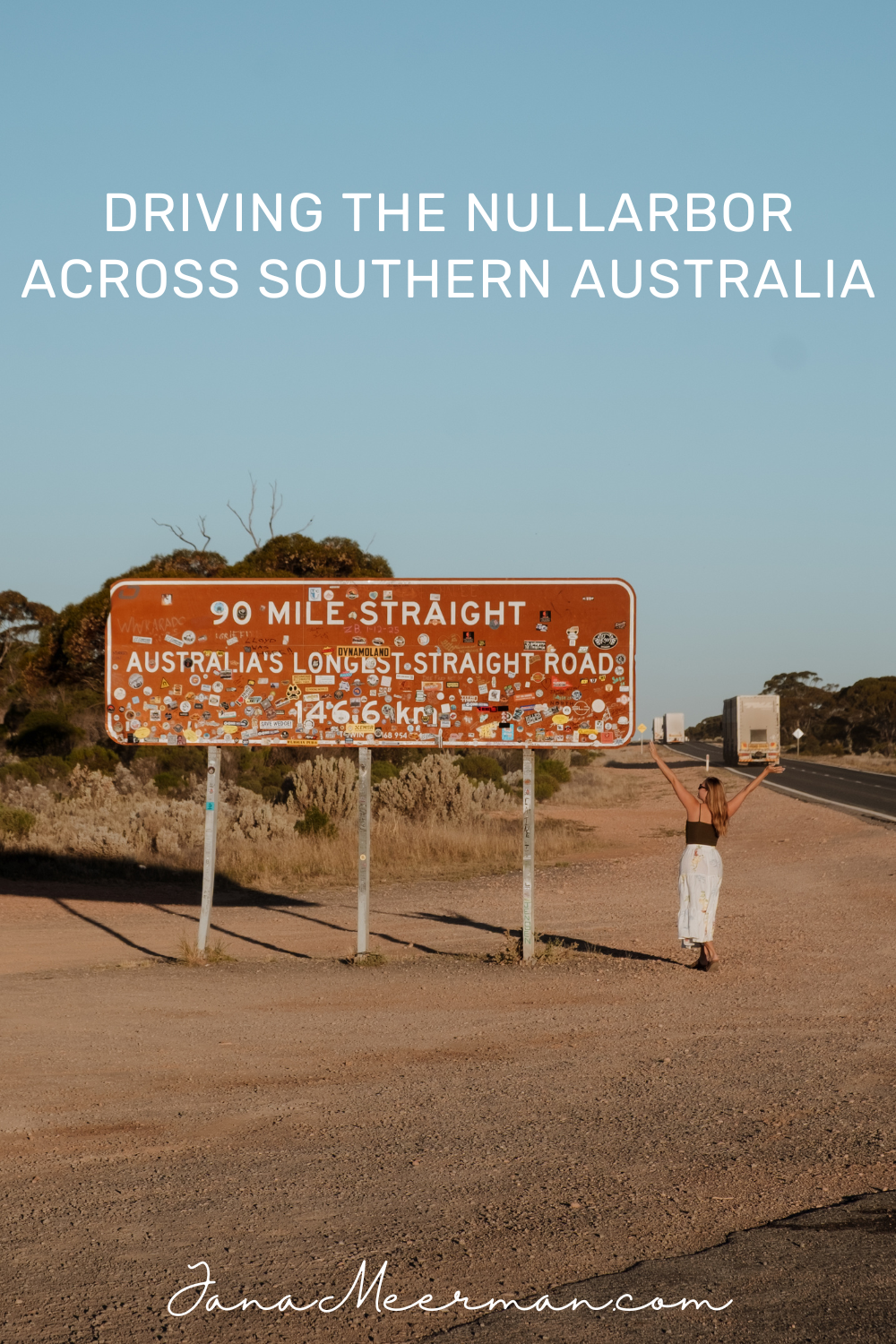
90 Mile Straight (East End)
Then you'll come to the 90 Mile Straight, the longest, straightest road in Australia stretching a perfect 90 miles (~145km) across part of the Nullarbor in Western Australia.
BJ's Rest
We free camped here on our second time on the Nullarbor. It's a simple campground, just off the main road and right on the 90 Mile Straight but with plenty of trees and privacy. A perfect stopover.
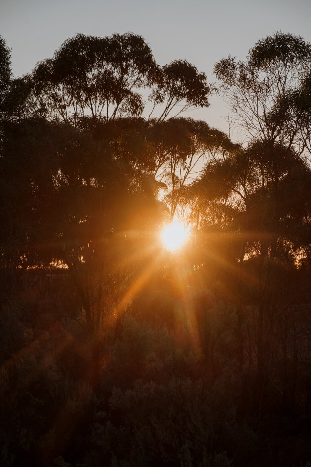
Sunrise at BJ's Rest
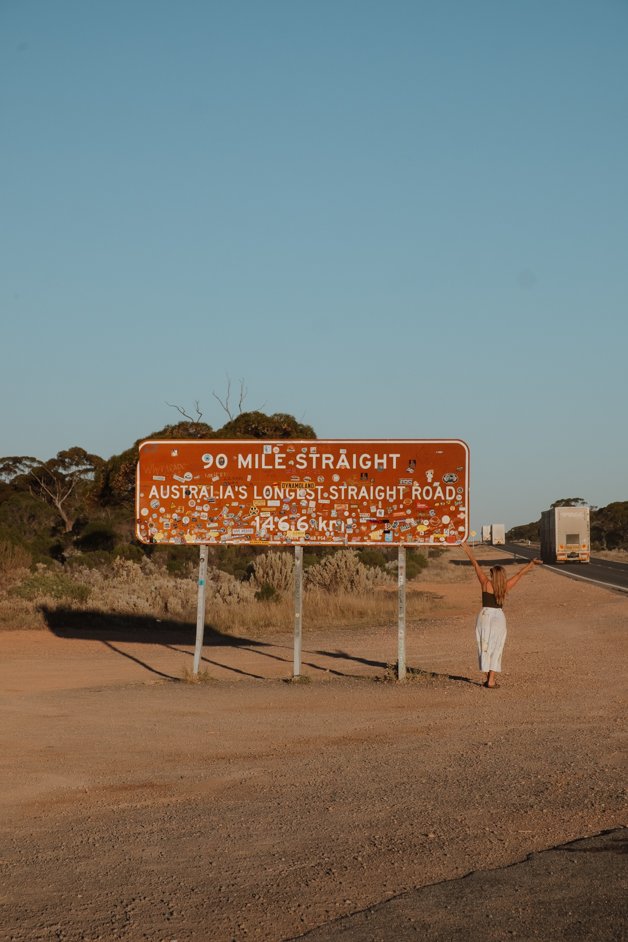
90 Mile Straight (West End)
The sign once you've driven the longest, straightest road in Australia, the 90 Mile Straight, stretching a perfect 90 miles (~145km) across part of the Nullarbor in Western Australia.
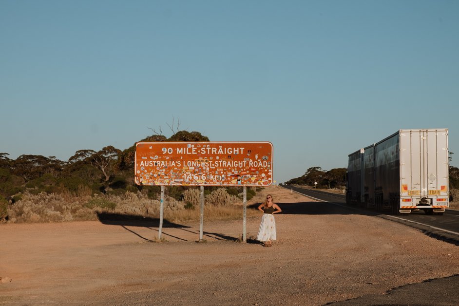
Spot the road train!
Norseman
In Norseman, Western Australia the Nullarbor officially ends (or starts, depending which way you go!) and you've officially crossed this wild ~1200km region. We stayed at the free camp at Norseman RV Site, a great spot to start or end your Nullarbor roadtrip.
Lake Dundas
While you're in Norseman, it's worth driving 20 minutes south to Lake Dundas, a beautiful pink salt lake that you can drive on!
BOOK AN EXPERIENCE IN AUSTRALIA!
PIN THIS POST TO REFER BACK TO LATER!
GET READY TO TRAVEL!
— Book tours and experiences - with GetYourGuide
— Get all the gear you need for your trip - with Amazon (North America)
— Get all the gear you need for your trip - with Amazon (Europe)
— Find a place to stay - with Booking.com
— Choose a hostel to stay at - with Hostelworld
— Purchase global travel insurance - with World Nomads
— Load an international eSim on your phone - with AirAlo
— Start your own travel blog - with Hostinger
— Join the GetYourGuide Travel Creator Community - with GetYourGuide
Hi! I’m Jana, a Dutch-German-British-Canadian with a dream of seeing every country in the world. I am a storyteller, photographer and adventurer passionate about documenting and sharing my travels.

