
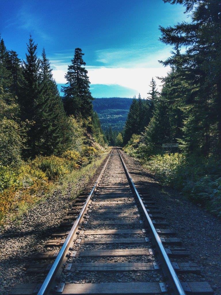

At the end of the viewing platform where you look out towards Daisy Lake, pass the fence on the far left side and walk straight ahead.
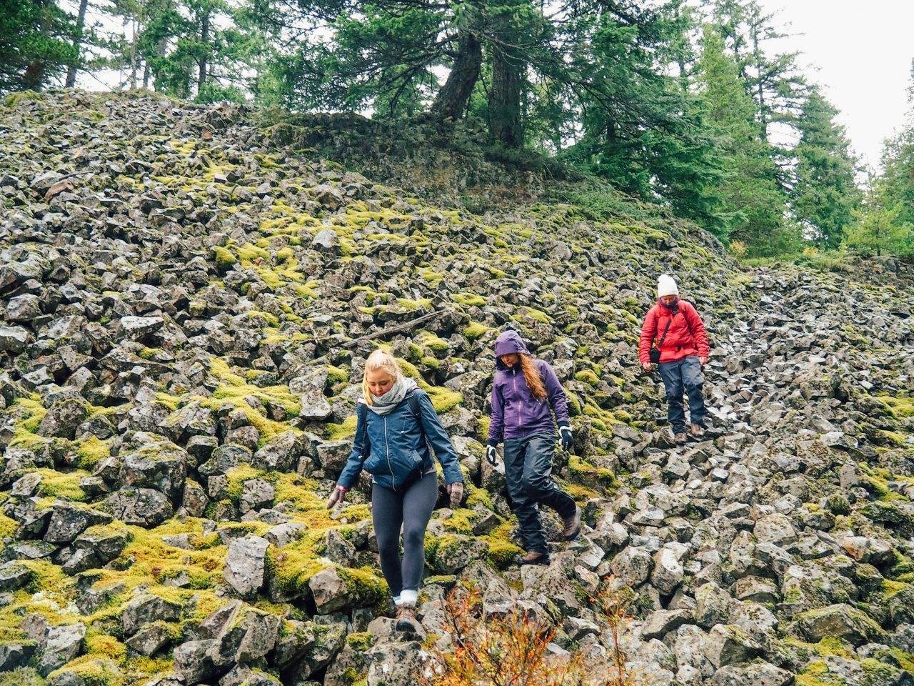
Walk straight through the forest following the edge of the cliff until you reach a rocky area. Make your way down what looks very much like a set of steps in the boulder field.
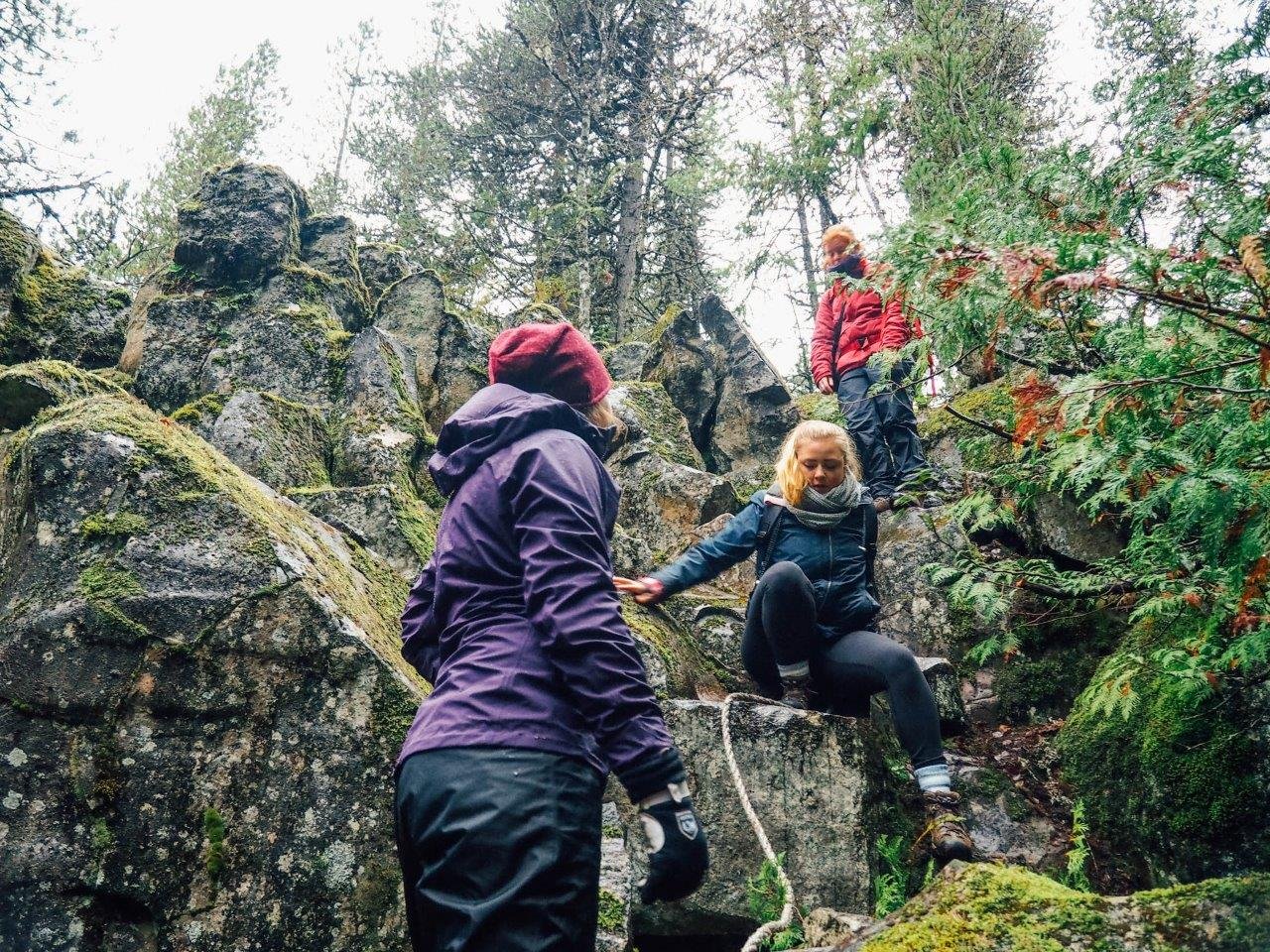
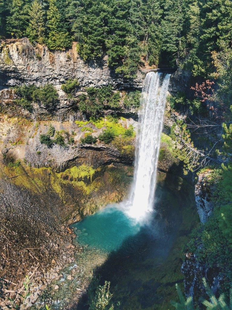
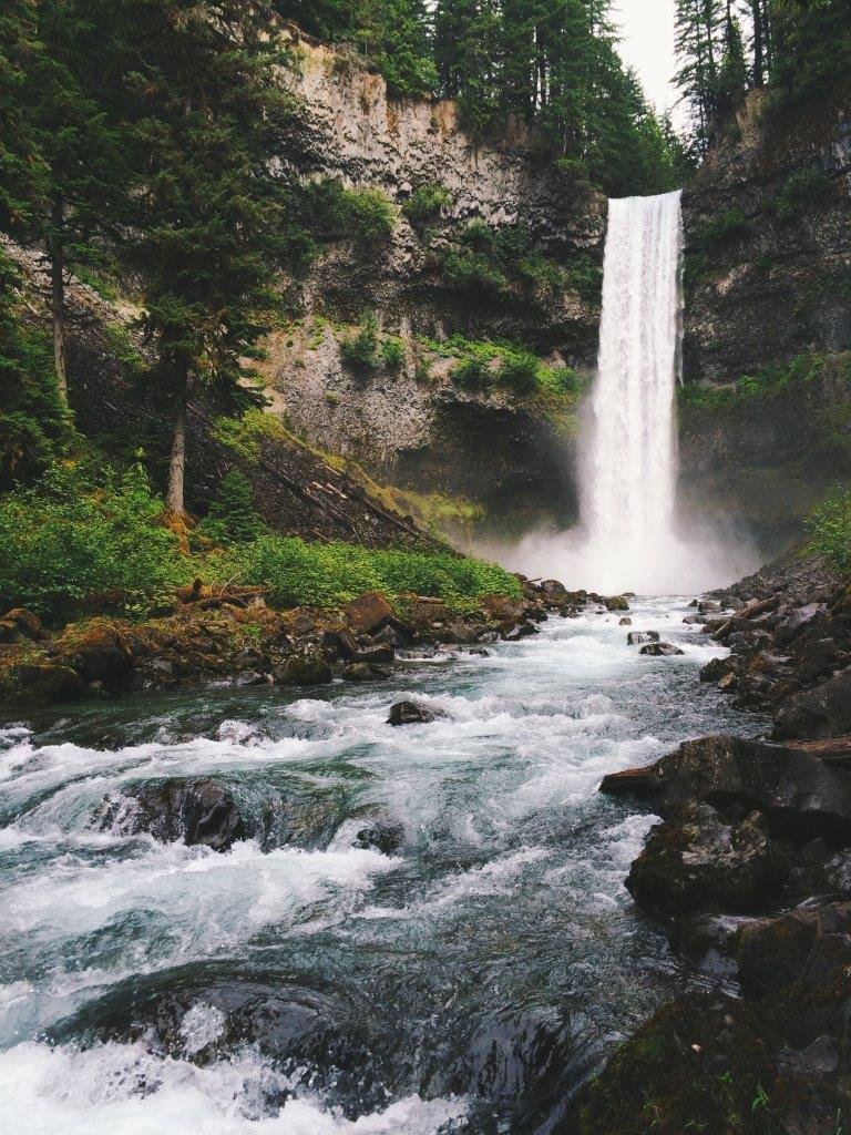
Continue to follow the trail until you come to a white rope that hangs over a pile of boulders that you need to carefully climb down. Follow the tracks across the boulders until the trail makes an obvious turn left into the forest. From here, the trail is very clear and winds its way through the cool forest until it meets the stream then makes its way up to reach the falls.

Discover more from Jana Meerman
Subscribe to get the latest posts sent to your email.
Hi! I’m Jana, a Dutch-German-British-Canadian with a dream of seeing every country in the world. I am a storyteller, photographer and adventurer passionate about documenting and sharing my travels.


Thank you for your detailed explanation! We found it easily
Author
Amazing! So glad you found the post clear and useful, and I hope you had a beautiful hike.
This article was perfect ????
Thank you guys, you are awesome ????
Always Be Happy ????
Hi! This seems very helpful! I’m planning to trek this alone — I heard from other blogs that not all these landmarks are easy to find. Do you think it would be easy to get very lost? Thanks for posting this blog –– hope to hear from you!
Kindly,
Steph
Author
Hey Steph, we already chatted on insta but I would love to hear how it was (and I’m sure other readers would appreciate an up to date comment!) if you end up making it down there. Enjoy the hike 😀